3437 Flint Ln Island Park, ID 83429
Estimated Value: $516,000 - $617,000
3
Beds
1
Bath
960
Sq Ft
$597/Sq Ft
Est. Value
About This Home
This home is located at 3437 Flint Ln, Island Park, ID 83429 and is currently estimated at $573,410, approximately $597 per square foot. 3437 Flint Ln is a home with nearby schools including Ashton Elementary School and North Fremont Junior/Senior High School.
Ownership History
Date
Name
Owned For
Owner Type
Purchase Details
Closed on
Nov 21, 2006
Sold by
Mcbride Scott A and Mcbride Kathy A
Bought by
Mcbride Scott A and Mcbride Kathryn A
Current Estimated Value
Home Financials for this Owner
Home Financials are based on the most recent Mortgage that was taken out on this home.
Original Mortgage
$200,000
Outstanding Balance
$119,297
Interest Rate
6.36%
Mortgage Type
New Conventional
Estimated Equity
$454,113
Create a Home Valuation Report for This Property
The Home Valuation Report is an in-depth analysis detailing your home's value as well as a comparison with similar homes in the area
Home Values in the Area
Average Home Value in this Area
Purchase History
| Date | Buyer | Sale Price | Title Company |
|---|---|---|---|
| Mcbride Scott A | -- | -- |
Source: Public Records
Mortgage History
| Date | Status | Borrower | Loan Amount |
|---|---|---|---|
| Open | Mcbride Scott A | $200,000 |
Source: Public Records
Tax History Compared to Growth
Tax History
| Year | Tax Paid | Tax Assessment Tax Assessment Total Assessment is a certain percentage of the fair market value that is determined by local assessors to be the total taxable value of land and additions on the property. | Land | Improvement |
|---|---|---|---|---|
| 2025 | $4,079 | $404,784 | $155,400 | $249,384 |
| 2024 | $4,079 | $400,575 | $155,400 | $245,175 |
| 2023 | $4,012 | $400,575 | $155,400 | $245,175 |
| 2022 | $4,185 | $327,865 | $133,200 | $194,665 |
| 2021 | $4,021 | $237,818 | $105,450 | $132,368 |
| 2020 | $3,860 | $211,051 | $88,800 | $122,251 |
| 2019 | $3,758 | $211,051 | $88,800 | $122,251 |
| 2018 | $3,588 | $188,938 | $88,800 | $100,138 |
| 2017 | $37 | $183,817 | $86,136 | $97,681 |
| 2016 | $3,610 | $183,817 | $86,136 | $97,681 |
| 2015 | $3,581 | $183,817 | $0 | $0 |
| 2014 | $3,060 | $183,817 | $0 | $0 |
| 2013 | $3,060 | $183,817 | $0 | $0 |
Source: Public Records
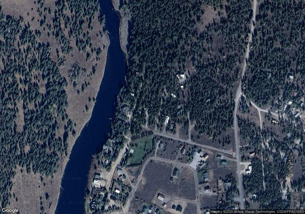
Map
Nearby Homes
- TBD Robbins Cir
- 3424 Cedar Dr
- 3423 Oakwood Dr
- 3775 Willow Dr
- 3769 Lava Ln
- 3773 Lava Ln
- 3336 Shooting Star Ln
- 3334 Lupine Dr
- TBD Pinon Dr
- 3771 Mule Ear Rd
- 4121 Spruce Dr
- 3735 Riverside Dr
- 3789 Homestead Dr
- 3626 Sparrow Hawk St
- 3797 Taylor Mountain Dr
- 0000 Buffalo Dr
- 3922 Snow Cap Dr
- 3930 Snow Cap Dr
- 3380 E Eagle Dr Unit LOT 33
- 1650 Shadow Loop S
- 3745 Stewart Ln
- 3444 Stewart Ln
- 3451 Quartz Ln
- 3749 Stewart Ln
- 3445 Stewart Ln
- 3747 Stewart Ln
- 3455 Quartz Ln
- 3443 Stewart Ln
- 3446 Stewart Ln
- 3433 E Robbins Cir
- 3441 Stewart Ln
- 3439 Stewart Ln
- 3755 Stewart Ln
- 3747 S Robbins Cir
- 3441 Old Highway 191
- 3441 Old Highway 191
- 3437 Stewart Ln
- 3749 S Robbins Cir
- 3746 S Robbins Cir
- 3430 W Robbins Cir