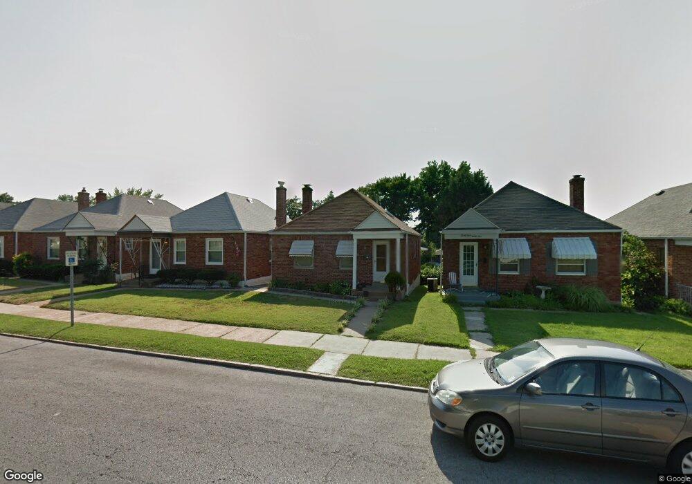
3437 MacKlind Ave Saint Louis, MO 63139
Northampton NeighborhoodEstimated Value: $170,631 - $240,000
--
Bed
1
Bath
1,824
Sq Ft
$119/Sq Ft
Est. Value
About This Home
This home is located at 3437 MacKlind Ave, Saint Louis, MO 63139 and is currently estimated at $217,408, approximately $119 per square foot. 3437 MacKlind Ave is a home located in St. Louis City with nearby schools including Buder Elementary School, Long International Middle School, and Roosevelt High School.
Ownership History
Date
Name
Owned For
Owner Type
Purchase Details
Closed on
Sep 14, 1999
Sold by
Lancaster Sherri Lynn
Bought by
Levy Sandra
Current Estimated Value
Home Financials for this Owner
Home Financials are based on the most recent Mortgage that was taken out on this home.
Original Mortgage
$64,928
Outstanding Balance
$19,367
Interest Rate
7.9%
Mortgage Type
FHA
Estimated Equity
$198,041
Purchase Details
Closed on
Jun 17, 1999
Sold by
Lancaster Eric C and Lynn Sherri Lynn
Bought by
Lancaster Sherri Lynn
Create a Home Valuation Report for This Property
The Home Valuation Report is an in-depth analysis detailing your home's value as well as a comparison with similar homes in the area
Home Values in the Area
Average Home Value in this Area
Purchase History
| Date | Buyer | Sale Price | Title Company |
|---|---|---|---|
| Levy Sandra | -- | -- | |
| Lancaster Sherri Lynn | -- | -- |
Source: Public Records
Mortgage History
| Date | Status | Borrower | Loan Amount |
|---|---|---|---|
| Open | Levy Sandra | $64,928 |
Source: Public Records
Tax History Compared to Growth
Tax History
| Year | Tax Paid | Tax Assessment Tax Assessment Total Assessment is a certain percentage of the fair market value that is determined by local assessors to be the total taxable value of land and additions on the property. | Land | Improvement |
|---|---|---|---|---|
| 2025 | $2,216 | $30,910 | $2,280 | $28,630 |
| 2024 | $2,109 | $26,140 | $2,280 | $23,860 |
| 2023 | $2,109 | $26,140 | $2,280 | $23,860 |
| 2022 | $2,026 | $24,170 | $2,280 | $21,890 |
| 2021 | $2,023 | $24,170 | $2,280 | $21,890 |
| 2020 | $1,906 | $22,930 | $2,280 | $20,650 |
| 2019 | $1,900 | $22,930 | $2,280 | $20,650 |
| 2018 | $1,688 | $19,720 | $2,280 | $17,440 |
| 2017 | $1,660 | $19,720 | $2,280 | $17,440 |
| 2016 | $1,500 | $17,560 | $2,280 | $15,280 |
| 2015 | $1,361 | $17,560 | $2,280 | $15,280 |
| 2014 | $1,352 | $17,560 | $2,280 | $15,280 |
| 2013 | -- | $17,460 | $2,280 | $15,180 |
Source: Public Records
Map
Nearby Homes
- 7082 Oleatha Ave
- 3443 Sublette Ave
- 5425 Pernod Ave
- 5329 Tholozan Ave
- 5340 Tholozan Ave
- 5531 Arthur Ave
- 5231 Potomac St
- 5504 Mardel Ave
- 5273 Parker Ave
- 5065 Miami St
- 5630 Fyler Ave
- 5500 Lindenwood Ave
- 5701 Pernod Ave
- 5050 Potomac St
- 5343 Chippewa St
- 5549 Lindenwood Ave
- 5210 Parker Ave
- 5200 Mardel Ave
- 5716 Pernod Ave
- 3244 Regal Place
- 3441 MacKlind Ave
- 3435 MacKlind Ave
- 3443 MacKlind Ave
- 3431 MacKlind Ave
- 3447 MacKlind Ave
- 3429 MacKlind Ave
- 3449 MacKlind Ave
- 3425 MacKlind Ave
- 3432 Tedmar Ave
- 3428 Tedmar Ave
- 3436 Tedmar Ave
- 3453 MacKlind Ave
- 3424 Tedmar Ave
- 3440 Tedmar Ave
- 3444 Tedmar Ave
- 3420 Tedmar Ave
- 3455 MacKlind Ave
- 3436 MacKlind Ave
- 3440 MacKlind Ave
- 3432 MacKlind Ave