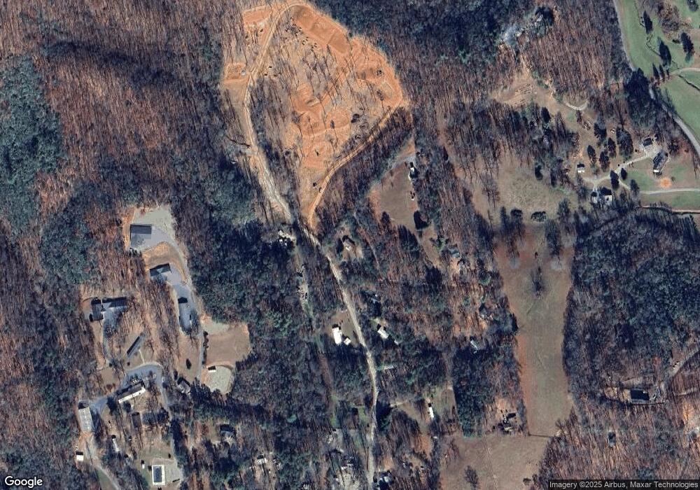
344 Avery Scroggs Rd Hayesville, NC 28904
Estimated Value: $121,000 - $285,000
3
Beds
2
Baths
1,186
Sq Ft
$177/Sq Ft
Est. Value
About This Home
This home is located at 344 Avery Scroggs Rd, Hayesville, NC 28904 and is currently estimated at $210,159, approximately $177 per square foot. 344 Avery Scroggs Rd is a home located in Clay County with nearby schools including Hayesville Elementary School, Hayesville Middle School, and Hayesville High School.
Ownership History
Date
Name
Owned For
Owner Type
Purchase Details
Closed on
Mar 7, 2006
Sold by
Ledford Lynn
Bought by
Bailey Brandon
Current Estimated Value
Home Financials for this Owner
Home Financials are based on the most recent Mortgage that was taken out on this home.
Original Mortgage
$70,884
Outstanding Balance
$39,881
Interest Rate
6.19%
Mortgage Type
FHA
Estimated Equity
$170,278
Create a Home Valuation Report for This Property
The Home Valuation Report is an in-depth analysis detailing your home's value as well as a comparison with similar homes in the area
Home Values in the Area
Average Home Value in this Area
Purchase History
| Date | Buyer | Sale Price | Title Company |
|---|---|---|---|
| Bailey Brandon | $72,000 | -- |
Source: Public Records
Mortgage History
| Date | Status | Borrower | Loan Amount |
|---|---|---|---|
| Open | Bailey Brandon | $70,884 |
Source: Public Records
Tax History Compared to Growth
Tax History
| Year | Tax Paid | Tax Assessment Tax Assessment Total Assessment is a certain percentage of the fair market value that is determined by local assessors to be the total taxable value of land and additions on the property. | Land | Improvement |
|---|---|---|---|---|
| 2025 | $395 | $62,800 | $30,000 | $32,800 |
| 2024 | $395 | $62,800 | $30,000 | $32,800 |
| 2023 | $289 | $62,800 | $30,000 | $32,800 |
| 2022 | $0 | $62,800 | $30,000 | $32,800 |
| 2021 | $289 | $62,800 | $30,000 | $32,800 |
| 2020 | $289 | $62,800 | $30,000 | $32,800 |
| 2019 | $289 | $62,800 | $30,000 | $32,800 |
| 2018 | $289 | $62,800 | $30,000 | $32,800 |
| 2016 | -- | $62,099 | $25,000 | $37,099 |
| 2015 | -- | $62,099 | $25,000 | $37,099 |
| 2014 | -- | $62,099 | $25,000 | $37,099 |
Source: Public Records
Map
Nearby Homes
- TBD Us Hwy 64 W
- 2067 Qualla Rd
- 835 Waldroup Rd
- 311 Blair Creek Ridge
- 1045 Old Highway 64 W
- 307 Hiawassee St
- 364 Hiawassee St
- 247 Loganberry Ln
- 203 Silvercrest Dr
- 190 Fort Hembree Rd
- Lot 1 U S 64 Business
- 49 Hampton Ln
- 5.054 ac U S Highway 64
- 30.91 Ac U S Highway 64
- 5 lots Ali Dr
- 0 Hwy 64 E Unit 411357
- na Old Highway 64 W
- 498 Old Dyer Dr
- .80 acre U S Highway 64
- 558 Old Dyer Dr
- 306 Avery Scroggs Rd
- 389 Avery Scroggs Rd
- 387 Avery Scroggs Rd
- 307 Avery Scroggs Rd
- 334 Avery Scroggs Rd
- 290 Avery Scroggs Rd
- 336 Avery Scroggs Rd
- 268 Avery Scroggs Rd
- 248 Avery Acres Loop
- 191 Avery Scroggs Rd
- 153 Avery Scroggs Rd
- 26 Truett Way
- 218 Avery Scroggs Rd
- 146 Avery Scroggs Rd
- 346 Truett Camp Rd
- 1746 Town Mountain Rd
- 80 Magnolia Ln
- 74 Hemlock Ln
- 67 Hemlock Ln
- 88 Truett Way
