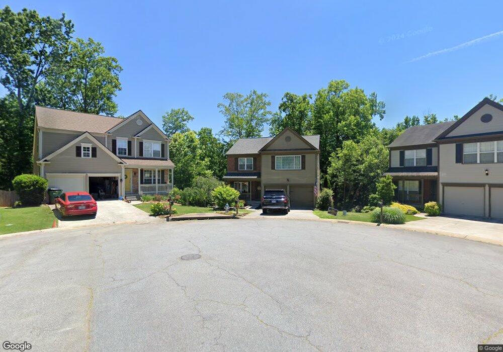
344 Burdock Trace Unit E Woodstock, GA 30188
Estimated Value: $492,000 - $498,778
3
Beds
3
Baths
2,532
Sq Ft
$196/Sq Ft
Est. Value
About This Home
This home is located at 344 Burdock Trace Unit E, Woodstock, GA 30188 and is currently estimated at $495,389, approximately $195 per square foot. 344 Burdock Trace Unit E is a home located in Cherokee County with nearby schools including Little River Elementary, Mill Creek Middle School, and River Ridge High School.
Ownership History
Date
Name
Owned For
Owner Type
Purchase Details
Closed on
Jun 29, 2021
Sold by
Meschke Robert
Bought by
Frazier Trevor Gene and Frazier Aubrey Lynne
Current Estimated Value
Home Financials for this Owner
Home Financials are based on the most recent Mortgage that was taken out on this home.
Original Mortgage
$361,570
Outstanding Balance
$326,643
Interest Rate
2.9%
Mortgage Type
New Conventional
Estimated Equity
$168,746
Purchase Details
Closed on
Jan 12, 2016
Sold by
Wilder Daniel M
Bought by
Meschek Robert
Home Financials for this Owner
Home Financials are based on the most recent Mortgage that was taken out on this home.
Original Mortgage
$215,000
Interest Rate
3.99%
Mortgage Type
New Conventional
Create a Home Valuation Report for This Property
The Home Valuation Report is an in-depth analysis detailing your home's value as well as a comparison with similar homes in the area
Home Values in the Area
Average Home Value in this Area
Purchase History
| Date | Buyer | Sale Price | Title Company |
|---|---|---|---|
| Frazier Trevor Gene | $380,600 | -- | |
| Meschek Robert | $235,000 | -- |
Source: Public Records
Mortgage History
| Date | Status | Borrower | Loan Amount |
|---|---|---|---|
| Open | Frazier Trevor Gene | $361,570 | |
| Previous Owner | Meschek Robert | $215,000 |
Source: Public Records
Tax History Compared to Growth
Tax History
| Year | Tax Paid | Tax Assessment Tax Assessment Total Assessment is a certain percentage of the fair market value that is determined by local assessors to be the total taxable value of land and additions on the property. | Land | Improvement |
|---|---|---|---|---|
| 2025 | $4,801 | $195,964 | $34,800 | $161,164 |
| 2024 | $4,702 | $191,984 | $34,800 | $157,184 |
| 2023 | $597 | $174,648 | $33,200 | $141,448 |
| 2022 | $4,072 | $150,348 | $27,200 | $123,148 |
| 2021 | $3,216 | $128,128 | $22,000 | $106,128 |
| 2020 | $2,978 | $118,552 | $20,000 | $98,552 |
| 2019 | $2,744 | $109,120 | $20,000 | $89,120 |
| 2018 | $2,622 | $103,560 | $17,600 | $85,960 |
| 2017 | $2,417 | $235,000 | $17,600 | $76,400 |
| 2016 | $2,417 | $234,800 | $16,800 | $77,120 |
| 2015 | $2,266 | $218,200 | $15,200 | $72,080 |
| 2014 | $2,063 | $198,200 | $14,000 | $65,280 |
Source: Public Records
Map
Nearby Homes
- 321 Burdock Trace
- 522 Watercress Dr
- 236 Persimmon Dr
- 809 Araya Ct
- 116 Neetle Close Dr
- 124 Riverside Ln
- 154 Towey Trail
- 202 Little River Way
- 414 Spring View Dr
- 144 Towey Trail
- 133 Finsbury Ln
- 202 Kigian Trail
- 237 Kigian Trail
- 205 Deerchase Dr
- 230 Apple Branch Dr
- 939 Bendleton Dr
- 624 Arnold Mill Rd
- 636 Arnold Mill Rd
- 344 Burdock Trace
- 346 Burdock Trace
- 342 Burdock Trace
- 351 Burdock Trace
- 338 Burdock Trace Unit 42
- 338 Burdock Trace
- 349 Burdock Trace
- 347 Burdock Trace
- 717 Purslane Way
- 336 Burdock Trace
- 715 Purslane Way
- 345 Burdock Trace
- 713 Purslane Way
- 719 Purslane Way Unit 1
- 719 Purslane Way Unit 719
- 719 Purslane Way
- 711 Purslane Way
- 343 Burdock Trace
- 334 Burdock Trace
- 303 Melilot Ct