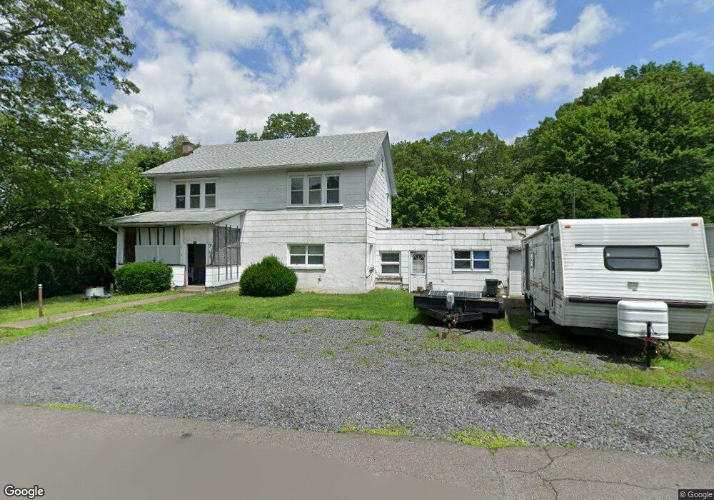
344 Coal St Hazleton, PA 18201
Estimated Value: $105,000 - $272,000
Studio
--
Bath
2,220
Sq Ft
$75/Sq Ft
Est. Value
About This Home
This home is located at 344 Coal St, Hazleton, PA 18201 and is currently estimated at $166,500, approximately $75 per square foot. 344 Coal St is a home located in Luzerne County with nearby schools including Hazleton Area High School, Mcadoo Catholic Elementary School, and Holy Family Academy.
Ownership History
Date
Name
Owned For
Owner Type
Purchase Details
Closed on
Oct 15, 2025
Sold by
Momentum Group Capital Llc
Bought by
Flores Manuel De Jesus Rey
Current Estimated Value
Purchase Details
Closed on
Sep 2, 2005
Sold by
Sist Joseph
Bought by
Guido Carmen
Home Financials for this Owner
Home Financials are based on the most recent Mortgage that was taken out on this home.
Original Mortgage
$15,000
Interest Rate
5.84%
Mortgage Type
Purchase Money Mortgage
Create a Home Valuation Report for This Property
The Home Valuation Report is an in-depth analysis detailing your home's value as well as a comparison with similar homes in the area
Home Values in the Area
Average Home Value in this Area
Purchase History
| Date | Buyer | Sale Price | Title Company |
|---|---|---|---|
| Flores Manuel De Jesus Rey | $125,000 | Faxon Settlement Services | |
| Momentum Group Capital Llc | $100,000 | Faxon Settlement Services | |
| Guido Carmen | $5,000 | None Available |
Source: Public Records
Mortgage History
| Date | Status | Borrower | Loan Amount |
|---|---|---|---|
| Previous Owner | Guido Carmen | $15,000 |
Source: Public Records
Tax History Compared to Growth
Tax History
| Year | Tax Paid | Tax Assessment Tax Assessment Total Assessment is a certain percentage of the fair market value that is determined by local assessors to be the total taxable value of land and additions on the property. | Land | Improvement |
|---|---|---|---|---|
| 2025 | $1,668 | $82,000 | $33,000 | $49,000 |
| 2024 | $1,600 | $82,000 | $33,000 | $49,000 |
| 2023 | $1,569 | $82,000 | $33,000 | $49,000 |
| 2022 | $1,553 | $82,000 | $33,000 | $49,000 |
| 2021 | $1,506 | $82,000 | $33,000 | $49,000 |
| 2020 | $1,479 | $82,000 | $33,000 | $49,000 |
| 2019 | $1,417 | $82,000 | $33,000 | $49,000 |
| 2018 | $1,363 | $82,000 | $33,000 | $49,000 |
| 2017 | $1,334 | $82,000 | $33,000 | $49,000 |
| 2016 | -- | $82,000 | $33,000 | $49,000 |
| 2015 | $811 | $82,000 | $33,000 | $49,000 |
| 2014 | $811 | $82,000 | $33,000 | $49,000 |
Source: Public Records
Map
Nearby Homes
- 16 N Hancock St
- 42 W Blaine St
- 126 R E Washington St
- 150 Hill St
- 6 6th St
- 0 4th St
- 36 Fourth St
- 10 Center St
- 845 S Church St
- 519 S Hancock St
- 321 E Carleton Ave
- 347 Muir Ave
- 132 Snyder Ave
- 155 Coxe St
- 0 Hillside Rd
- 701 Muir Ave
- 0 Mountain Top Terrace
- 0 Mountain Top Terrace Unit LotWP001 16175658
- 707 Muir Ave
- 700 Samuels Ave
- 350 Coal St
- 354 Coal St
- 204 Beaver Brook Rd
- 340 Coal St
- 343 Coal St
- 351 Coal St
- 341 Coal St
- 355 Coal St
- 205 Beaver Brook Rd
- 326 Coal St
- 224 Beaver Brook Rd
- 209 Beaver Brook Rd
- 211 Beaver Brook Rd
- 213 Beaver Brook Rd
- 215 Beaver Brook Rd
- 199 Beaver Brook Rd
- 217 Beaver Brook Rd
- 221 Beaver Brook Rd
- 219 Beaver Brook Rd
- 197 Beaver Brook Rd
