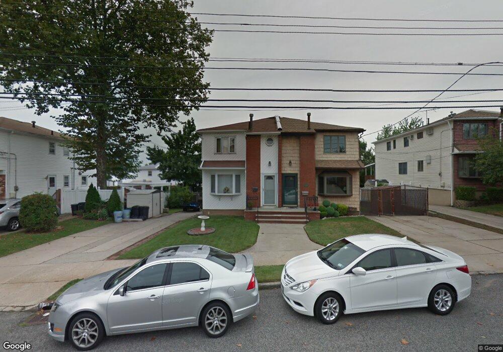
344 Colon Ave Staten Island, NY 10308
Great Kills NeighborhoodEstimated Value: $699,000 - $763,000
--
Bed
4
Baths
1,512
Sq Ft
$483/Sq Ft
Est. Value
About This Home
This home is located at 344 Colon Ave, Staten Island, NY 10308 and is currently estimated at $730,834, approximately $483 per square foot. 344 Colon Ave is a home located in Richmond County with nearby schools including P.S. 32 The Gifford School, I.S. 075 Frank D. Paulo, and Susan E Wagner High School.
Ownership History
Date
Name
Owned For
Owner Type
Purchase Details
Closed on
Dec 28, 2021
Sold by
Kligman Stephanie E
Bought by
Wang Jiu Tao
Current Estimated Value
Home Financials for this Owner
Home Financials are based on the most recent Mortgage that was taken out on this home.
Original Mortgage
$409,500
Outstanding Balance
$380,456
Interest Rate
3.75%
Mortgage Type
New Conventional
Estimated Equity
$350,378
Create a Home Valuation Report for This Property
The Home Valuation Report is an in-depth analysis detailing your home's value as well as a comparison with similar homes in the area
Home Values in the Area
Average Home Value in this Area
Purchase History
| Date | Buyer | Sale Price | Title Company |
|---|---|---|---|
| Wang Jiu Tao | $630,000 | Federal Standard Abstract |
Source: Public Records
Mortgage History
| Date | Status | Borrower | Loan Amount |
|---|---|---|---|
| Open | Wang Jiu Tao | $409,500 |
Source: Public Records
Tax History Compared to Growth
Tax History
| Year | Tax Paid | Tax Assessment Tax Assessment Total Assessment is a certain percentage of the fair market value that is determined by local assessors to be the total taxable value of land and additions on the property. | Land | Improvement |
|---|---|---|---|---|
| 2025 | $6,520 | $38,040 | $8,846 | $29,194 |
| 2024 | $6,520 | $32,460 | $10,998 | $21,462 |
| 2023 | $7,121 | $35,064 | $8,944 | $26,120 |
| 2022 | $7,000 | $35,580 | $9,780 | $25,800 |
| 2021 | $6,987 | $33,780 | $9,780 | $24,000 |
| 2020 | $6,627 | $33,840 | $9,780 | $24,060 |
| 2019 | $6,071 | $30,420 | $9,780 | $20,640 |
| 2018 | $5,659 | $29,220 | $9,780 | $19,440 |
| 2017 | $5,678 | $29,325 | $9,428 | $19,897 |
| 2016 | $5,221 | $27,666 | $9,454 | $18,212 |
| 2015 | $4,566 | $26,100 | $8,160 | $17,940 |
| 2014 | $4,566 | $25,380 | $8,160 | $17,220 |
Source: Public Records
Map
Nearby Homes
- 259 Brookfield Ave
- 345 Colon Ave
- 339 Abingdon Ave
- 307 Abingdon Ave
- 414 Elverton Ave
- 350 Brookfield Ave
- 72 Eric Ln
- 185 Brookfield Ave
- 248 Abingdon Ave
- 26 E Brandis Ave
- 919 Armstrong Ave
- 271 Doane Ave
- 379 Brookfield Ave
- 466 Doane Ave
- 223 Abingdon Ave
- 74 E Brandis Ave
- 924 Armstrong Ave Unit 2-3
- 87 Pemberton Ave
- 63 Genesee Ave
- 200 Giffords Ln
- 348 Colon Ave
- 350 Colon Ave
- 344 Colon Ave
- 354 Colon Ave
- 356 Colon Ave
- 261 Brookfield Ave
- 263 Brookfield Ave
- 358 Colon Ave
- 265 Brookfield Ave
- 334 Colon Ave
- 267 Brookfield Ave
- 360 Colon Ave
- 251 Brookfield Ave
- 269 Brookfield Ave
- 273 Brookfield Ave
- 249 Brookfield Ave
- 330 Colon Ave
- 349 Colon Ave
- 275 Brookfield Ave
- 247 Brookfield Ave