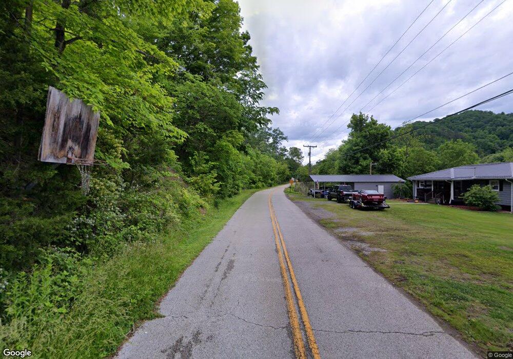
344 Ky Route 1100 E East Point, KY 41216
Estimated Value: $147,000 - $173,000
3
Beds
2
Baths
1,672
Sq Ft
$94/Sq Ft
Est. Value
About This Home
This home is located at 344 Ky Route 1100 E, East Point, KY 41216 and is currently estimated at $157,288, approximately $94 per square foot. 344 Ky Route 1100 E is a home with nearby schools including Prestonsburg Elementary School, Adams Middle School, and Prestonsburg High School.
Ownership History
Date
Name
Owned For
Owner Type
Purchase Details
Closed on
Jul 30, 2018
Sold by
Blackburn Beverly Jo
Bought by
Miller Elliott Seth Patrick and Miller Elliott Tara
Current Estimated Value
Home Financials for this Owner
Home Financials are based on the most recent Mortgage that was taken out on this home.
Original Mortgage
$72,200
Outstanding Balance
$44,073
Interest Rate
4.5%
Mortgage Type
New Conventional
Estimated Equity
$113,215
Purchase Details
Closed on
Apr 30, 2014
Sold by
Jurich Sheryl and Jurich Nicholas Roger
Bought by
Blackburn Beverly Jo
Create a Home Valuation Report for This Property
The Home Valuation Report is an in-depth analysis detailing your home's value as well as a comparison with similar homes in the area
Home Values in the Area
Average Home Value in this Area
Purchase History
| Date | Buyer | Sale Price | Title Company |
|---|---|---|---|
| Miller Elliott Seth Patrick | $90,250 | None Available | |
| Blackburn Beverly Jo | -- | None Available |
Source: Public Records
Mortgage History
| Date | Status | Borrower | Loan Amount |
|---|---|---|---|
| Open | Miller Elliott Seth Patrick | $72,200 |
Source: Public Records
Tax History Compared to Growth
Tax History
| Year | Tax Paid | Tax Assessment Tax Assessment Total Assessment is a certain percentage of the fair market value that is determined by local assessors to be the total taxable value of land and additions on the property. | Land | Improvement |
|---|---|---|---|---|
| 2024 | $1,323 | $110,000 | $30,000 | $80,000 |
| 2023 | $1,088 | $90,000 | $0 | $0 |
| 2022 | $1,091 | $90,000 | $0 | $0 |
| 2021 | $1,094 | $90,000 | $0 | $0 |
| 2020 | $1,094 | $90,000 | $0 | $0 |
| 2019 | $1,090 | $90,000 | $0 | $0 |
| 2018 | $1,211 | $100,000 | $0 | $0 |
| 2017 | $1,102 | $100,000 | $0 | $0 |
| 2016 | $1,102 | $100,000 | $0 | $0 |
| 2015 | $664 | $100,000 | $0 | $0 |
| 2014 | $664 | $100,000 | $0 | $0 |
| 2013 | $664 | $100,000 | $0 | $0 |
Source: Public Records
Map
Nearby Homes
- 769 Coleman Branch
- 0 Hager Branch Unit 125279
- 57 Hopson St
- 121 Cr-1474w
- 121 John Bays Branch
- 0 Alley Fork
- 157 Ash Ln
- 342 Ward Ave
- 0 Us Highway 23 N Unit 126328
- 75 Cub Ct
- 0 John Cc Mayo Rd Unit 22006332
- 325 Oak Lawn Dr
- 72 & 88 Auxier Heights
- 7185 Kentucky 321
- 00 Willow Cove
- 540 Lakeview Village Dr
- 160 Fannin Ln
- 980 Bess Daniels Dr
- 0 Old Cliff Rd
- 1130 Left Fork of Little Paint
- 22 Ky Route 1100 E
- 324 Ky Route 1100 E
- 320 Ky Route 1100 E
- 375 Ky Route 1100 E
- 400 Ky Route 1100 E
- 131 Park Dr S
- 125 Park Dr S
- 121 Park Dr S
- 2622 Ky Rte 1750
- 589 Ky Route 1100 E
- 589 Ky Route 1100 E
- 103 Ky Route 1100 E
- 374 George Branch
- 153 George Branch
- 259 George Branch
- 259 George Branch
- 26 George Branch
- 100 George Branch
- 100 George Branch
- 4446 Ky Rt 1428