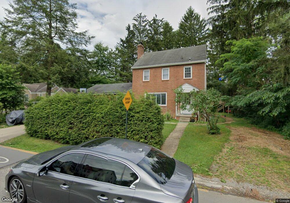
344 Laurel St Morgantown, WV 26505
Suncrest NeighborhoodEstimated Value: $298,000 - $343,000
3
Beds
2
Baths
1,512
Sq Ft
$210/Sq Ft
Est. Value
About This Home
This home is located at 344 Laurel St, Morgantown, WV 26505 and is currently estimated at $317,265, approximately $209 per square foot. 344 Laurel St is a home located in Monongalia County with nearby schools including Suncrest Elementary School, Suncrest Middle School, and Morgantown High School.
Ownership History
Date
Name
Owned For
Owner Type
Purchase Details
Closed on
Aug 29, 2017
Sold by
Nelson Jessica
Bought by
Nelson Craig
Current Estimated Value
Home Financials for this Owner
Home Financials are based on the most recent Mortgage that was taken out on this home.
Original Mortgage
$234,813
Outstanding Balance
$195,290
Interest Rate
3.75%
Mortgage Type
FHA
Estimated Equity
$121,975
Purchase Details
Closed on
Jun 13, 2013
Sold by
Sorensen Adam and Sorensen Tabitha
Bought by
Nelson Craig and Nelson Jessica
Home Financials for this Owner
Home Financials are based on the most recent Mortgage that was taken out on this home.
Original Mortgage
$182,320
Interest Rate
3.83%
Mortgage Type
New Conventional
Create a Home Valuation Report for This Property
The Home Valuation Report is an in-depth analysis detailing your home's value as well as a comparison with similar homes in the area
Home Values in the Area
Average Home Value in this Area
Purchase History
| Date | Buyer | Sale Price | Title Company |
|---|---|---|---|
| Nelson Craig | -- | None Available | |
| Nelson Craig | -- | None Available | |
| Nelson Craig | $227,900 | None Available |
Source: Public Records
Mortgage History
| Date | Status | Borrower | Loan Amount |
|---|---|---|---|
| Open | Nelson Craig | $234,813 | |
| Closed | Nelson Craig | $182,320 |
Source: Public Records
Tax History Compared to Growth
Tax History
| Year | Tax Paid | Tax Assessment Tax Assessment Total Assessment is a certain percentage of the fair market value that is determined by local assessors to be the total taxable value of land and additions on the property. | Land | Improvement |
|---|---|---|---|---|
| 2024 | $1,622 | $123,060 | $49,320 | $73,740 |
| 2023 | $1,619 | $123,060 | $49,320 | $73,740 |
| 2022 | $1,552 | $121,740 | $49,320 | $72,420 |
| 2021 | $1,558 | $121,740 | $49,320 | $72,420 |
| 2020 | $1,564 | $121,740 | $49,320 | $72,420 |
| 2019 | $1,573 | $121,740 | $49,320 | $72,420 |
| 2018 | $1,577 | $121,740 | $49,320 | $72,420 |
| 2017 | $1,547 | $118,920 | $46,500 | $72,420 |
| 2016 | $1,509 | $115,440 | $43,020 | $72,420 |
| 2015 | $1,456 | $115,440 | $43,020 | $72,420 |
| 2014 | $1,253 | $103,200 | $41,280 | $61,920 |
Source: Public Records
Map
Nearby Homes
- 1053 Takoma St
- 337 Patteson Dr
- 3233 University Ave
- 1232 Lions Ave
- 1081 Koontz Ave
- 478 Legion St
- 1356 Bitonti St
- 1358 Bitonti St
- 1287 Broadview Dr
- 34 Salthouse Ln
- 563 Killarney Dr
- 429 Mansfield Ave
- 927 Fairfax Dr
- 3356 Collins Ferry Rd
- 400 Inglewood Blvd
- 560 Plymouth Ave
- 481 Meridan St
- 441 Kensington Ave
- 678 Bellaire Dr
- TBA van Voorhis Rd