344 Mammoth Path Redding, CA 96003
Boulder Creek NeighborhoodEstimated Value: $314,685 - $355,000
About This Home
This home is located at 344 Mammoth Path, Redding, CA 96003 and is currently estimated at $342,171, approximately $268 per square foot. 344 Mammoth Path is a home located in Shasta County with nearby schools including Boulder Creek Elementary School, Enterprise High School, and Shasta View Academy.
Ownership History
We collect this data history from publicly available records. To have your information removed, we recommend requesting removal directly through your county’s website.
Purchase Details
Purchase Details
Home Financials for this Owner
Home Financials are based on the most recent Mortgage that was taken out on this home.Home Values in the Area
Average Home Value in this Area
Purchase History
We collect this data history from publicly available records. To have your information removed, we recommend requesting removal directly through your county’s website.
| Date | Buyer | Sale Price | Title Company |
|---|---|---|---|
| -- | None Available | ||
| $119,000 | Chicago Title Co |
Mortgage History
We collect this data history from publicly available records. To have your information removed, we recommend requesting removal directly through your county’s website.
| Date | Status | Borrower | Loan Amount |
|---|---|---|---|
| Open | $95,200 | ||
| Closed | $23,800 |
Tax History
We collect this data history from publicly available records. To have your information removed, we recommend requesting removal directly through your county’s website.
| Year | Tax Paid | Tax Assessment Tax Assessment Total Assessment is a certain percentage of the fair market value that is determined by local assessors to be the total taxable value of land and additions on the property. | Land | Improvement |
|---|---|---|---|---|
| 2025 | $2,040 | $182,876 | $38,413 | $144,463 |
| 2024 | $2,008 | $179,291 | $37,660 | $141,631 |
| 2023 | $2,008 | $175,776 | $36,922 | $138,854 |
| 2022 | $1,944 | $172,331 | $36,199 | $136,132 |
| 2021 | $1,903 | $168,953 | $35,490 | $133,463 |
| 2020 | $1,874 | $167,222 | $35,127 | $132,095 |
| 2019 | $1,855 | $163,944 | $34,439 | $129,505 |
| 2018 | $1,856 | $160,730 | $33,764 | $126,966 |
| 2017 | $1,883 | $157,579 | $33,102 | $124,477 |
| 2016 | $1,766 | $154,490 | $32,453 | $122,037 |
| 2015 | $1,750 | $152,170 | $31,966 | $120,204 |
| 2014 | $1,731 | $149,190 | $31,340 | $117,850 |
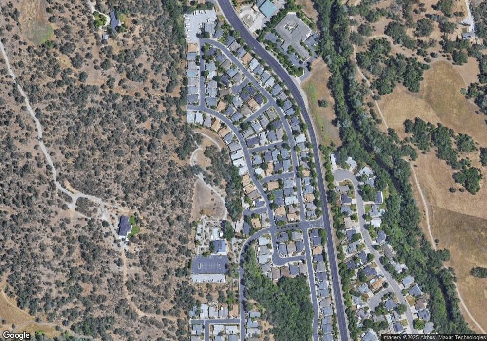
Map
- 282 Buckhorn Walk
- 1363 College View Dr
- 1102 Golden Gate Trail
- 647 Olympic St
- 1223 College View Dr
- 1361 College View Dr
- 66 Tidmore Ln
- 45 Tidmore Ln
- 274 Franciscan Trail
- 140 Danbury Dr
- 667 Reddington Dr
- 1030 Tulare Ct
- 558 Fair Hill Dr
- 672 Reddington Dr
- 469 Belvedere Dr
- 1720 Stetson Way
- 1026 Rollingview Dr
- 690 Mill Valley Pkwy
- 372 Stinson Loop
- 604 Durango Way
- 332 Mammoth Path
- 306 Mammoth Path
- 302 Mammoth Path
- 319 Mammoth Path
- 360 Mammoth Path
- 0 Southfork Trail
- 1308 Bally Walk
- 1324 Southfork Trail
- 294 Mammoth Path
- 394 Mammoth Path
- 1335 Southfork Trail
- 305 Mammoth Path Unit (SHASTA HILLS ESTATE
- 305 Mammoth Path
- 1324 Bally Walk
- 1346 Southfork Trail
- 416 Mammoth Path
- 272 Mammoth Path
- 1359 Southfork Trail
- 1232 Crag Walk
- 405 Mammoth Path
Ask me questions while you tour the home.