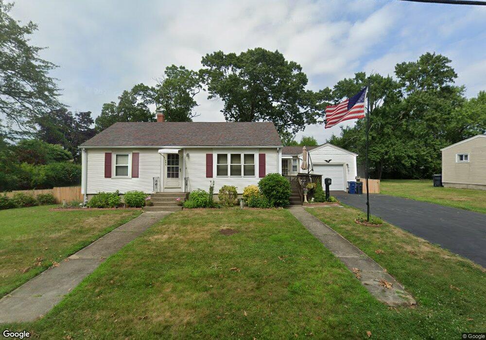
344 Maple St Warwick, RI 02888
Norwood NeighborhoodEstimated Value: $356,428 - $379,000
2
Beds
1
Bath
936
Sq Ft
$396/Sq Ft
Est. Value
About This Home
This home is located at 344 Maple St, Warwick, RI 02888 and is currently estimated at $370,607, approximately $395 per square foot. 344 Maple St is a home located in Kent County with nearby schools including Nel/Cps Construction Career, St. Peter School, and Saint Paul School.
Ownership History
Date
Name
Owned For
Owner Type
Purchase Details
Closed on
Jun 22, 2019
Sold by
Mackinnon Violet and Jackson Diane
Bought by
Mackinnon Violet
Current Estimated Value
Purchase Details
Closed on
Nov 17, 2014
Sold by
Mackinnon Violet
Bought by
Mackinnon Violet and Jackson Diane
Purchase Details
Closed on
Nov 8, 2010
Sold by
Mackinnon Violet
Bought by
Mackinnon Violet and Jackson Diane
Purchase Details
Closed on
Nov 30, 1998
Sold by
Martin Helen I and Martin Paul
Bought by
Mackinnon Violet
Create a Home Valuation Report for This Property
The Home Valuation Report is an in-depth analysis detailing your home's value as well as a comparison with similar homes in the area
Home Values in the Area
Average Home Value in this Area
Purchase History
| Date | Buyer | Sale Price | Title Company |
|---|---|---|---|
| Mackinnon Violet | -- | -- | |
| Mackinnon Violet | -- | -- | |
| Mackinnon Violet | -- | -- | |
| Mackinnon Violet | $82,000 | -- |
Source: Public Records
Mortgage History
| Date | Status | Borrower | Loan Amount |
|---|---|---|---|
| Previous Owner | Mackinnon Violet | $156,800 | |
| Previous Owner | Mackinnon Violet | $37,000 |
Source: Public Records
Tax History
| Year | Tax Paid | Tax Assessment Tax Assessment Total Assessment is a certain percentage of the fair market value that is determined by local assessors to be the total taxable value of land and additions on the property. | Land | Improvement |
|---|---|---|---|---|
| 2025 | $4,072 | $320,600 | $108,700 | $211,900 |
| 2024 | $3,978 | $274,900 | $94,500 | $180,400 |
| 2023 | $3,901 | $274,900 | $94,500 | $180,400 |
| 2022 | $3,669 | $195,900 | $62,100 | $133,800 |
| 2021 | $3,669 | $195,900 | $62,100 | $133,800 |
| 2020 | $3,669 | $195,900 | $62,100 | $133,800 |
| 2019 | $3,669 | $195,900 | $62,100 | $133,800 |
| 2018 | $3,149 | $151,400 | $62,100 | $89,300 |
| 2017 | $3,064 | $151,400 | $62,100 | $89,300 |
| 2016 | $3,064 | $151,400 | $62,100 | $89,300 |
| 2015 | $2,955 | $142,400 | $66,900 | $75,500 |
| 2014 | $2,857 | $142,400 | $66,900 | $75,500 |
| 2013 | $2,818 | $142,400 | $66,900 | $75,500 |
Source: Public Records
Map
Nearby Homes
- 396 Elm St
- 7 Michigan Ave
- 27 Frederick St
- 77 Kentucky Ave
- 1052 Post Rd
- 35 Welfare Ave
- 341 Sumner Ave
- 213 Easton Ave
- 123 Harrington Ave
- 0 Elmwood Ave
- 39 Holiday Ave
- 821 Post Rd
- 15 Christopher Rhodes Way
- 6 Christopher Rhodes Way
- 150 Riverside Ave
- 20 Commodore Ave
- 136 Sherwood Ave
- 120 Sherwood Ave
- 127 Sherwood Ave
- 111 Sherwood Ave