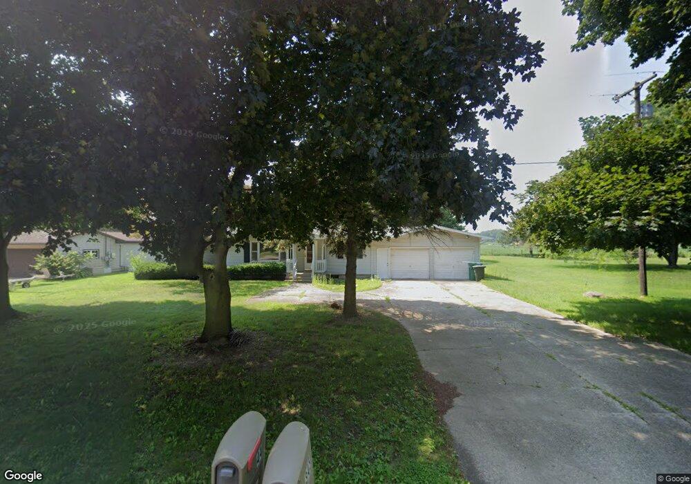
344 N Fremont Rd Coldwater, MI 49036
Estimated Value: $228,768 - $287,000
3
Beds
2
Baths
1,816
Sq Ft
$140/Sq Ft
Est. Value
About This Home
This home is located at 344 N Fremont Rd, Coldwater, MI 49036 and is currently estimated at $253,942, approximately $139 per square foot. 344 N Fremont Rd is a home located in Branch County with nearby schools including Jennings Elementary School, Quincy Middle School, and Quincy High School.
Ownership History
Date
Name
Owned For
Owner Type
Purchase Details
Closed on
Feb 20, 2004
Sold by
Osborn Lillian J
Bought by
Christy James R and Christy Darcy Jo
Current Estimated Value
Home Financials for this Owner
Home Financials are based on the most recent Mortgage that was taken out on this home.
Original Mortgage
$100,800
Outstanding Balance
$46,979
Interest Rate
5.74%
Mortgage Type
Purchase Money Mortgage
Estimated Equity
$206,963
Create a Home Valuation Report for This Property
The Home Valuation Report is an in-depth analysis detailing your home's value as well as a comparison with similar homes in the area
Home Values in the Area
Average Home Value in this Area
Purchase History
| Date | Buyer | Sale Price | Title Company |
|---|---|---|---|
| Christy James R | $112,000 | Branch County Abstract & Tit |
Source: Public Records
Mortgage History
| Date | Status | Borrower | Loan Amount |
|---|---|---|---|
| Open | Christy James R | $100,800 |
Source: Public Records
Tax History Compared to Growth
Tax History
| Year | Tax Paid | Tax Assessment Tax Assessment Total Assessment is a certain percentage of the fair market value that is determined by local assessors to be the total taxable value of land and additions on the property. | Land | Improvement |
|---|---|---|---|---|
| 2025 | $1,445 | $105,307 | $0 | $0 |
| 2024 | $526 | $102,388 | $0 | $0 |
| 2023 | $478 | $91,172 | $0 | $0 |
| 2022 | $478 | $74,990 | $0 | $0 |
| 2021 | -- | $71,805 | $0 | $0 |
| 2020 | -- | $71,819 | $0 | $0 |
| 2019 | -- | $64,841 | $0 | $0 |
| 2018 | -- | $57,733 | $0 | $0 |
| 2017 | -- | $59,410 | $0 | $0 |
| 2016 | -- | $64,426 | $0 | $0 |
| 2015 | -- | $55,203 | $0 | $0 |
| 2014 | -- | $49,420 | $0 | $0 |
| 2013 | -- | $48,757 | $0 | $0 |
Source: Public Records
Map
Nearby Homes
- 732 Cambridge Dr
- 0 Lott Rd
- VL N Fiske Rd
- 586 Schaeffer Dr
- 410 N Fiske Rd
- 912 Beckwith Shore
- N/A North Dr
- 808 Rolling Meadows Dr
- N/A N Willowbrook Rd
- 216 Sandalwood Dr
- 0 N Willowbrook Rd Unit 24042121
- 78 Taylor St
- 44 Berry St
- 46 W Chicago St
- 34 W Liberty St
- 117 Ridge Rd
- 42 W Chicago St
- 804 Cornell Rd
- 988 Williams Dr
- 34 Park St
- 348 N Fremont Rd
- 342 N Fremont Rd
- 340 N Fremont Rd
- 749 Lott Rd
- 335 N Fremont Rd
- 355 N Fremont Rd
- 351 N Fremont Rd
- 351 N Fremont Rd
- 351 N Fremont Rd
- 327 N Fremont Rd
- 345 N Fremont Rd
- 349 N Fremont Rd
- 375 N Fremont Rd
- 377 N Fremont Rd
- 385 N Fremont Rd
- 396 N Fremont Rd
- 373 N Fremont Rd
- 352 N Fremont Rd
- 352 N Fremont Rd
- 744 Lott Rd