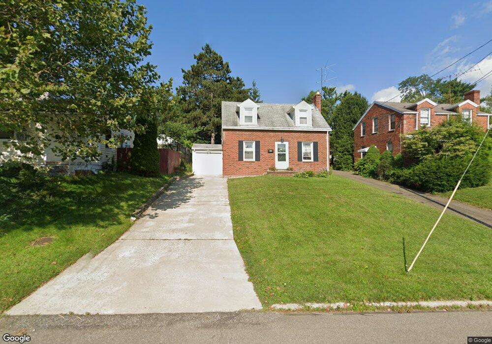
344 Poplar St Mansfield, OH 44903
Estimated Value: $74,000 - $122,000
2
Beds
1
Bath
879
Sq Ft
$111/Sq Ft
Est. Value
About This Home
This home is located at 344 Poplar St, Mansfield, OH 44903 and is currently estimated at $97,373, approximately $110 per square foot. 344 Poplar St is a home located in Richland County with nearby schools including Discovery School, St. Peter's High School/Junior High, and St. Peter's Elementary/Montessori School.
Ownership History
Date
Name
Owned For
Owner Type
Purchase Details
Closed on
Dec 20, 2010
Sold by
Wiser John
Bought by
Carbetta Jaclynne
Current Estimated Value
Purchase Details
Closed on
Oct 25, 2005
Sold by
Them Scott and Them Heather
Bought by
Wiser John
Purchase Details
Closed on
May 6, 2005
Sold by
Rachel John and Rachel Robert
Bought by
Them Scott and Them Brian
Purchase Details
Closed on
Dec 22, 2004
Sold by
Estate Of Roeliff M Rachel
Bought by
Rachel John and Rachel Robert
Create a Home Valuation Report for This Property
The Home Valuation Report is an in-depth analysis detailing your home's value as well as a comparison with similar homes in the area
Home Values in the Area
Average Home Value in this Area
Purchase History
| Date | Buyer | Sale Price | Title Company |
|---|---|---|---|
| Carbetta Jaclynne | -- | None Available | |
| Wiser John | $51,000 | Southern Title | |
| Them Scott | $37,000 | Southern Title | |
| Rachel John | -- | -- |
Source: Public Records
Tax History Compared to Growth
Tax History
| Year | Tax Paid | Tax Assessment Tax Assessment Total Assessment is a certain percentage of the fair market value that is determined by local assessors to be the total taxable value of land and additions on the property. | Land | Improvement |
|---|---|---|---|---|
| 2024 | $743 | $15,910 | $3,060 | $12,850 |
| 2023 | $762 | $15,910 | $3,060 | $12,850 |
| 2022 | $567 | $9,920 | $2,490 | $7,430 |
| 2021 | $571 | $9,920 | $2,490 | $7,430 |
| 2020 | $584 | $9,920 | $2,490 | $7,430 |
| 2019 | $647 | $9,920 | $2,490 | $7,430 |
| 2018 | $638 | $9,920 | $2,490 | $7,430 |
| 2017 | $808 | $9,920 | $2,490 | $7,430 |
| 2016 | $995 | $15,410 | $3,300 | $12,110 |
| 2015 | $995 | $15,410 | $3,300 | $12,110 |
| 2014 | $938 | $15,410 | $3,300 | $12,110 |
| 2012 | $378 | $16,230 | $3,480 | $12,750 |
Source: Public Records
Map
Nearby Homes
- 538 Broadview Ave
- 257 Wood St
- 505 Wood St
- 114 Vennum Ave
- 118 Lind Ave
- 133 Stewart Ave S
- 126 Dawson Ave
- 0 Cline Ave Hedeen Abbeyfeale Unit 9066362
- 353 Sturges Ave
- 119 Carpenter Rd
- 679 Coleman Rd
- 135 Wood St
- 88 Sherman Ave
- 76 Bartley Ave
- 709 Coleman Rd
- 470 Lexington Ave
- 37 Baldwin Ave
- 120 Grover St
- 172 -172 1 2 Lexington Ave
- 71 Glenwood Blvd