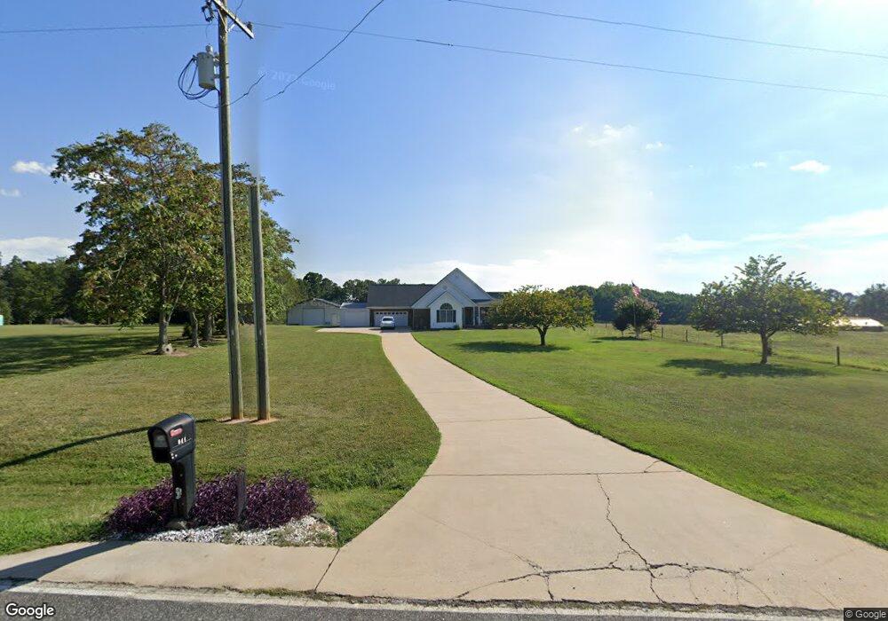
344 Range Rd Kings Mountain, NC 28086
Estimated Value: $306,000 - $428,000
Studio
--
Bath
1,903
Sq Ft
$192/Sq Ft
Est. Value
About This Home
This home is located at 344 Range Rd, Kings Mountain, NC 28086 and is currently estimated at $364,873, approximately $191 per square foot. 344 Range Rd is a home located in Cleveland County with nearby schools including Bethware Elementary School, Kings Mountain Middle, and Kings Mountain Intermediate School.
Ownership History
Date
Name
Owned For
Owner Type
Purchase Details
Closed on
Aug 23, 2010
Sold by
Federal Home Loan Mortgage Corporation
Bought by
Whisnant Joel M and Whisnant Doris D
Current Estimated Value
Purchase Details
Closed on
Jul 7, 2010
Sold by
Vinesett William Coleman and Vinesett Karen Lail
Bought by
Federal Home Loan Mortgage Corporation
Create a Home Valuation Report for This Property
The Home Valuation Report is an in-depth analysis detailing your home's value as well as a comparison with similar homes in the area
Home Values in the Area
Average Home Value in this Area
Purchase History
| Date | Buyer | Sale Price | Title Company |
|---|---|---|---|
| Whisnant Joel M | -- | None Available | |
| Federal Home Loan Mortgage Corporation | $151,425 | None Available |
Source: Public Records
Tax History
| Year | Tax Paid | Tax Assessment Tax Assessment Total Assessment is a certain percentage of the fair market value that is determined by local assessors to be the total taxable value of land and additions on the property. | Land | Improvement |
|---|---|---|---|---|
| 2025 | $1,983 | $312,351 | $26,263 | $286,088 |
| 2024 | $1,858 | $223,548 | $22,320 | $201,228 |
| 2023 | $1,848 | $223,548 | $22,320 | $201,228 |
| 2022 | $1,848 | $223,548 | $22,320 | $201,228 |
| 2021 | $1,855 | $223,548 | $22,320 | $201,228 |
| 2020 | $1,585 | $182,662 | $21,729 | $160,933 |
| 2019 | $1,585 | $182,662 | $21,729 | $160,933 |
| 2018 | $1,581 | $182,662 | $21,729 | $160,933 |
| 2017 | $1,560 | $0 | $0 | $0 |
| 2016 | $1,493 | $181,106 | $20,173 | $160,933 |
| 2015 | $1,588 | $193,177 | $14,173 | $179,004 |
| 2014 | $1,588 | $193,177 | $14,173 | $179,004 |
Source: Public Records
Map
Nearby Homes
- 507 Bethlehem Rd
- 105 Trotter Ln
- 707 Sandalwood Ln
- 907 Bethlehem Rd
- 400 El Bethel Rd
- 143 Yarbro Rd Unit 16
- 143 Yarbro Rd Unit 2
- 143 Yarbro Rd Unit 20
- 5067 E Dixon Blvd
- 5139 E Dixon Blvd
- 106 Williams Rd
- 107 Tara Terrace
- 132 Yarbro Rd Unit 13
- 11111 High Ridge Ct Unit 11
- 115 High Ridge Ct Unit 26
- 113 High Ridge Ct Unit 25
- 2207 David Baptist Ch Rd
- 213 Mullinax Dr
- 127 Mullinax Dr
- 105 Barley Dr
- 346 Range Rd
- 345 Range Rd
- 324 Range Rd
- 404 Range Rd
- 179 Mike Ledford Rd
- 326 Range Rd
- 409 Range Rd
- 107 Lords Landing None
- 341 Range Rd
- 132 Sam Smith Rd
- 321 Range Rd
- 128 Sam Smith Rd
- 107 Manville Dr Unit 14
- 107 Manville Dr Unit 1
- 335 Range Rd
- 122 Sam Smith Rd
- 415 Range Rd
- 125 Sam Smith Rd
- 320 Range Rd
- 323 Range Rd Unit 1
Your Personal Tour Guide
Ask me questions while you tour the home.