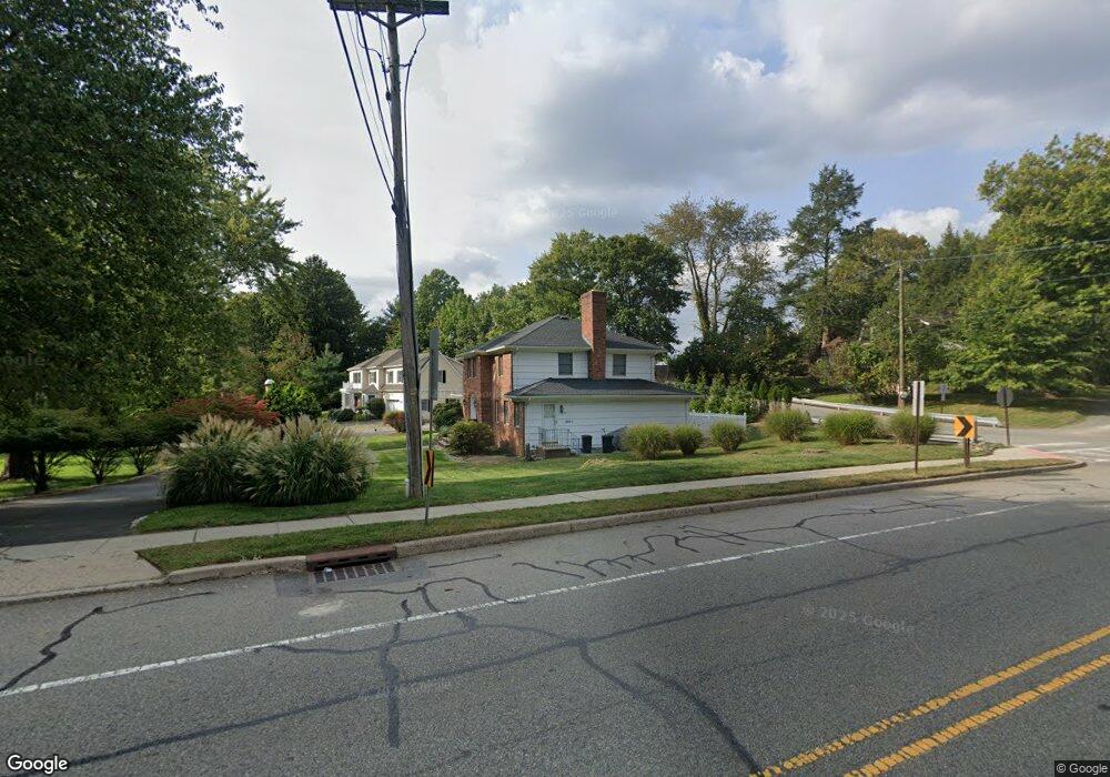
344 Ridge Rd Unit B Cedar Grove, NJ 07009
Estimated Value: $795,000 - $981,614
4
Beds
4
Baths
3,204
Sq Ft
$288/Sq Ft
Est. Value
About This Home
This home is located at 344 Ridge Rd Unit B, Cedar Grove, NJ 07009 and is currently estimated at $923,154, approximately $288 per square foot. 344 Ridge Rd Unit B is a home located in Essex County with nearby schools including Cedar Grove High School, St Catherine Of Siena School, and St. Cassian School.
Ownership History
Date
Name
Owned For
Owner Type
Purchase Details
Closed on
Feb 20, 2023
Sold by
Lasala Joann
Bought by
Shafiq Yousef
Current Estimated Value
Home Financials for this Owner
Home Financials are based on the most recent Mortgage that was taken out on this home.
Original Mortgage
$484,000
Outstanding Balance
$468,144
Interest Rate
6.09%
Mortgage Type
New Conventional
Estimated Equity
$455,010
Purchase Details
Closed on
Apr 2, 2012
Sold by
Candido Steven J and Lasala Joann
Bought by
Lasala Joann and Candido Joann L
Home Financials for this Owner
Home Financials are based on the most recent Mortgage that was taken out on this home.
Original Mortgage
$405,000
Interest Rate
3.5%
Mortgage Type
New Conventional
Purchase Details
Closed on
Oct 27, 1989
Sold by
Cocoziello Peter and Cocoziello Mary
Bought by
Centanni Thomas and Centanni Maryann
Create a Home Valuation Report for This Property
The Home Valuation Report is an in-depth analysis detailing your home's value as well as a comparison with similar homes in the area
Home Values in the Area
Average Home Value in this Area
Purchase History
| Date | Buyer | Sale Price | Title Company |
|---|---|---|---|
| Shafiq Yousef | $605,000 | American Land Title | |
| Lasala Joann | -- | None Available | |
| Centanni Thomas | $450,000 | -- |
Source: Public Records
Mortgage History
| Date | Status | Borrower | Loan Amount |
|---|---|---|---|
| Open | Shafiq Yousef | $484,000 | |
| Previous Owner | Lasala Joann | $405,000 |
Source: Public Records
Tax History Compared to Growth
Tax History
| Year | Tax Paid | Tax Assessment Tax Assessment Total Assessment is a certain percentage of the fair market value that is determined by local assessors to be the total taxable value of land and additions on the property. | Land | Improvement |
|---|---|---|---|---|
| 2025 | $16,166 | $551,800 | $207,000 | $344,800 |
| 2024 | $16,166 | $551,800 | $207,000 | $344,800 |
| 2022 | $15,881 | $619,400 | $243,500 | $375,900 |
| 2021 | $15,689 | $619,400 | $243,500 | $375,900 |
| 2020 | $15,919 | $619,400 | $243,500 | $375,900 |
| 2019 | $15,553 | $619,400 | $243,500 | $375,900 |
| 2018 | $14,841 | $619,400 | $243,500 | $375,900 |
| 2017 | $14,680 | $619,400 | $243,500 | $375,900 |
| 2016 | $14,228 | $619,400 | $243,500 | $375,900 |
| 2015 | $13,899 | $619,400 | $243,500 | $375,900 |
| 2014 | $13,614 | $619,400 | $243,500 | $375,900 |
Source: Public Records
Map
Nearby Homes
- 54 Rugby Rd
- 59 David Rd
- 88 Ozone Ave
- 82 Little Falls Rd
- 36 Warfield St
- 151 Little Falls Rd
- 372 Up Mountain Ave
- 372 Upper Mountain Ave
- 51 Essex Rd
- 75 Sunrise Terrace
- 280 Grove Ave
- 6 Fernwood Place
- 106 Pompton Ave
- 3 Old Farm Rd
- 127 Harper Terrace
- 36 the Fairway
- 529 Valley Rd
- 24 Club Way
- 62 Glenwood Rd
- 130 Sequoia Dr