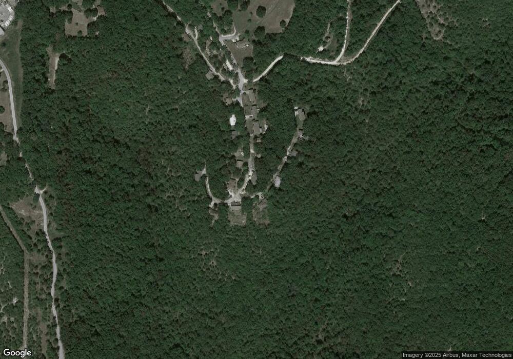
344 Rollin Acres Rd Reeds Spring, MO 65737
Estimated Value: $223,000 - $281,000
3
Beds
3
Baths
1,792
Sq Ft
$141/Sq Ft
Est. Value
About This Home
This home is located at 344 Rollin Acres Rd, Reeds Spring, MO 65737 and is currently estimated at $253,371, approximately $141 per square foot. 344 Rollin Acres Rd is a home located in Stone County with nearby schools including Reeds Spring Primary School, Reeds Spring Elementary School, and Reeds Spring Middle School.
Ownership History
Date
Name
Owned For
Owner Type
Purchase Details
Closed on
Apr 21, 2011
Sold by
Fannie Mae
Bought by
Powell Harry J and Powell Pauletta
Current Estimated Value
Home Financials for this Owner
Home Financials are based on the most recent Mortgage that was taken out on this home.
Original Mortgage
$105,035
Interest Rate
4.81%
Mortgage Type
VA
Purchase Details
Closed on
Sep 8, 2010
Sold by
Onewest Bank Fsb
Bought by
Federal National Mortgage Association
Purchase Details
Closed on
Aug 27, 2010
Sold by
Jankowski Jason J and Jankowski Julie J
Bought by
One West Bank Fsb
Purchase Details
Closed on
Mar 31, 2005
Sold by
Zeman George C and Zeman Maria
Bought by
Jankowski Jason J and Jankowski Julie J
Home Financials for this Owner
Home Financials are based on the most recent Mortgage that was taken out on this home.
Original Mortgage
$122,075
Interest Rate
5.71%
Mortgage Type
New Conventional
Create a Home Valuation Report for This Property
The Home Valuation Report is an in-depth analysis detailing your home's value as well as a comparison with similar homes in the area
Home Values in the Area
Average Home Value in this Area
Purchase History
| Date | Buyer | Sale Price | Title Company |
|---|---|---|---|
| Powell Harry J | -- | -- | |
| Federal National Mortgage Association | -- | -- | |
| One West Bank Fsb | $126,306 | -- | |
| Jankowski Jason J | -- | -- |
Source: Public Records
Mortgage History
| Date | Status | Borrower | Loan Amount |
|---|---|---|---|
| Previous Owner | Powell Harry J | $105,035 | |
| Previous Owner | Jankowski Jason J | $122,075 |
Source: Public Records
Tax History Compared to Growth
Tax History
| Year | Tax Paid | Tax Assessment Tax Assessment Total Assessment is a certain percentage of the fair market value that is determined by local assessors to be the total taxable value of land and additions on the property. | Land | Improvement |
|---|---|---|---|---|
| 2024 | $723 | $14,780 | -- | -- |
| 2023 | $723 | $14,780 | $0 | $0 |
| 2022 | $719 | $14,780 | $0 | $0 |
| 2021 | $728 | $14,780 | $0 | $0 |
| 2020 | $641 | $14,780 | $0 | $0 |
| 2019 | $637 | $14,780 | $0 | $0 |
| 2018 | $636 | $14,780 | $0 | $0 |
| 2017 | $629 | $14,590 | $0 | $0 |
| 2016 | $612 | $14,590 | $0 | $0 |
| 2015 | $613 | $14,590 | $0 | $0 |
| 2014 | $603 | $14,590 | $0 | $0 |
| 2012 | $604 | $14,590 | $0 | $0 |
Source: Public Records
Map
Nearby Homes
- 20 Pottsville Loop
- 9a Blueberry Hill Ln
- Tract 3 State Highway Dd
- Tract 1 State Highway Dd
- 18300 Business 13
- 000 Business 13
- 18540 Business 13
- Lot 11 By Pass Loop
- Lot 17 Clear Clove Landing
- 0 Tbd State Highway 13
- 28 Clover Ln
- 0 Tbd Highway 13
- 14226 Missouri 13
- 11 Cypress Ln
- 16 Temple Ln
- 1042 Stoneridge Center Rd
- Lot 9 Azalea Ln
- Lot 10 Paola Ln
- Lot 9 Paola Ln
- Lot 8 Trail Ridge Dr
- 78 Rollin C Ln
- 359 Rollin Acres Rd
- 108 Rollin C Ln
- 312 Rollin Acres
- 305 Rollin Acres Rd
- 371 Rollin Acres Rd
- 50 Rollin C Ln
- 296 Rollin Acres Rd
- 138 Rollin C Ln
- 287 Rollin Acres Rd
- 276 Rollin Acres Rd
- 28 Rollin C Ln
- 160 Rollin C Ln
- 271 Rollin Acres Rd
- 2 Rollin C Ln
- 247 Rollin Acres Rd
- 250 Rollin Acres Rd
- 31 Rollin Point
- 0 Green Gables Ln
- 0 Rollin Point
