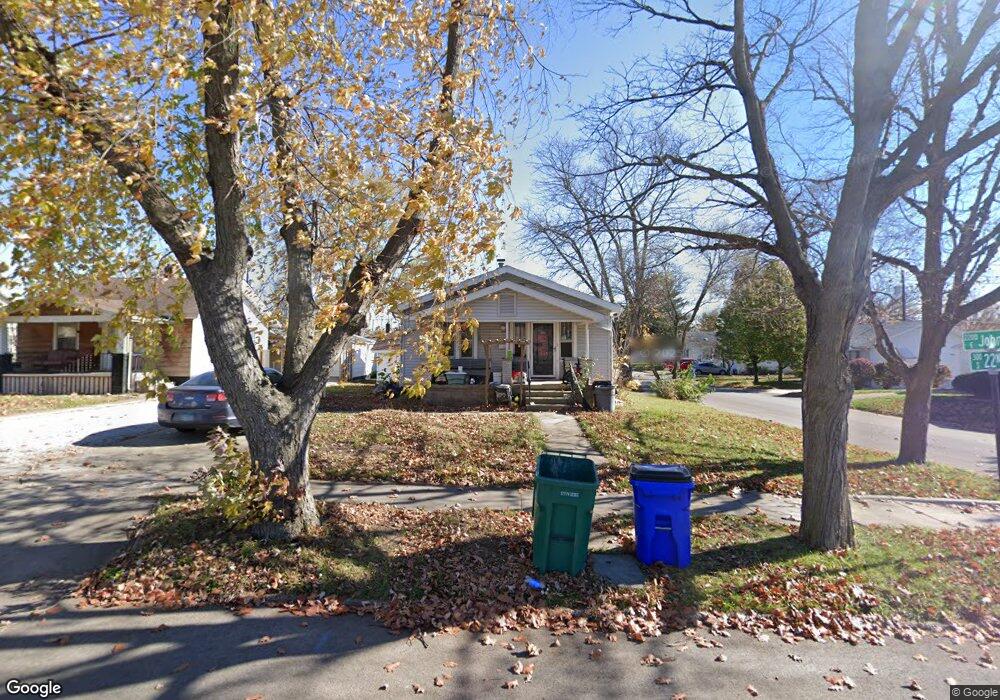
344 S 22nd Place Decatur, IL 62521
Nelson Park NeighborhoodEstimated Value: $43,362 - $59,000
2
Beds
1
Bath
1,344
Sq Ft
$38/Sq Ft
Est. Value
About This Home
This home is located at 344 S 22nd Place, Decatur, IL 62521 and is currently estimated at $51,341, approximately $38 per square foot. 344 S 22nd Place is a home located in Macon County with nearby schools including Michael E. Baum Elementary School, Stephen Decatur Middle School, and Robertson Charter School.
Ownership History
Date
Name
Owned For
Owner Type
Purchase Details
Closed on
May 31, 2007
Sold by
Kolebeck Robert L and Kolebeck Agnes J
Bought by
Lindsley Lisa C
Current Estimated Value
Home Financials for this Owner
Home Financials are based on the most recent Mortgage that was taken out on this home.
Original Mortgage
$34,338
Outstanding Balance
$21,045
Interest Rate
6.22%
Mortgage Type
FHA
Estimated Equity
$30,296
Purchase Details
Closed on
Jul 1, 1994
Create a Home Valuation Report for This Property
The Home Valuation Report is an in-depth analysis detailing your home's value as well as a comparison with similar homes in the area
Home Values in the Area
Average Home Value in this Area
Purchase History
| Date | Buyer | Sale Price | Title Company |
|---|---|---|---|
| Lindsley Lisa C | $34,500 | None Available | |
| -- | $18,000 | -- |
Source: Public Records
Mortgage History
| Date | Status | Borrower | Loan Amount |
|---|---|---|---|
| Open | Lindsley Lisa C | $34,338 |
Source: Public Records
Tax History Compared to Growth
Tax History
| Year | Tax Paid | Tax Assessment Tax Assessment Total Assessment is a certain percentage of the fair market value that is determined by local assessors to be the total taxable value of land and additions on the property. | Land | Improvement |
|---|---|---|---|---|
| 2024 | $949 | $9,803 | $1,206 | $8,597 |
| 2023 | $941 | $9,456 | $1,163 | $8,293 |
| 2022 | $879 | $8,599 | $1,076 | $7,523 |
| 2021 | $826 | $8,031 | $1,005 | $7,026 |
| 2020 | $814 | $7,658 | $958 | $6,700 |
| 2019 | $814 | $7,658 | $958 | $6,700 |
| 2018 | $693 | $6,595 | $1,139 | $5,456 |
| 2017 | $709 | $6,771 | $1,169 | $5,602 |
| 2016 | $723 | $6,840 | $1,181 | $5,659 |
| 2015 | $687 | $6,719 | $1,160 | $5,559 |
| 2014 | $638 | $6,653 | $1,149 | $5,504 |
| 2013 | $659 | $6,903 | $1,192 | $5,711 |
Source: Public Records
Map
Nearby Homes
- 2152 E Decatur St
- 2111 E Wood St
- 245 S 20th St
- 2104 E Whitmer St
- 729 S 22nd St
- 111 S 24th+520 E Division+870 N Union St
- 2039 E Whitmer St
- 203 S 25th St
- 1764 E Johns Ave
- 1753 E Clay St
- 1850 E Prairie St
- 2434 E Prairie St
- 1656 E Wood St
- 1645 E Wood St
- 632 S 17th St
- 1605 E Clay St
- 425 N 18th St
- 340 N 17th St
- 1644 E William St
- 1136 S 21st St
- 334 S 22nd Place
- 2284 E Johns Ave
- 320 S 22nd Place
- 2265 E Johns Ave
- 414 S 22nd Place
- 314 S 22nd Place
- 355 S 22nd Place
- 2285 E Johns Ave
- 345 S 22nd Place
- 405 S 22nd Place
- 2294 E Johns Ave
- 335 S 23rd St
- 335 S 22nd Place
- 415 S 22nd Place
- 317 S 23rd St
- 1165* S 22nd Place
- 304 S 22nd Place
- 2295 E Clay St
- 424 S 22nd Place
- 315 S 23rd St