Estimated Value: $372,000 - $398,000
3
Beds
2
Baths
1,646
Sq Ft
$233/Sq Ft
Est. Value
About This Home
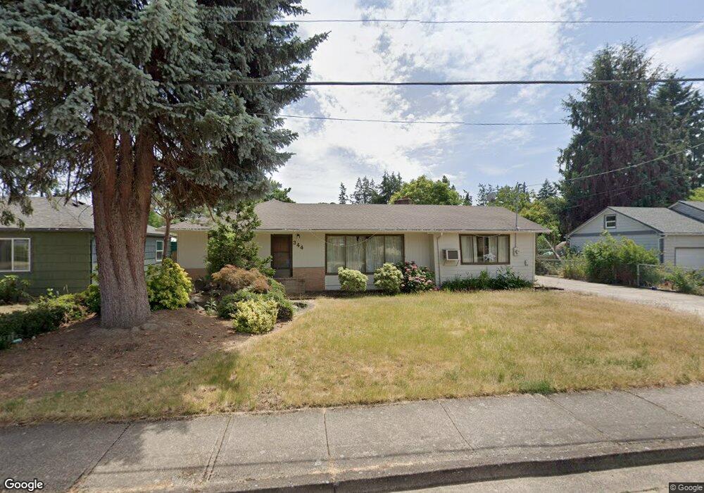
This home is located at 344 Stark St N, Salem, OR 97303 and is currently estimated at $382,898, approximately $232 per square foot. 344 Stark St N is a home located in Marion County with nearby schools including Cummings Elementary School, Claggett Creek Middle School, and McNary High School.
Ownership History
Date
Name
Owned For
Owner Type
Purchase Details
Closed on
Aug 11, 2005
Sold by
Worden Bradley J
Bought by
Worden Beverly J
Current Estimated Value
Purchase Details
Closed on
Feb 4, 2002
Sold by
Baughn James D and Lawhead Rebecca E
Bought by
Esparza Teresa
Home Financials for this Owner
Home Financials are based on the most recent Mortgage that was taken out on this home.
Original Mortgage
$75,000
Outstanding Balance
$30,566
Interest Rate
7.15%
Mortgage Type
Purchase Money Mortgage
Estimated Equity
$352,332
Create a Home Valuation Report for This Property
The Home Valuation Report is an in-depth analysis detailing your home's value as well as a comparison with similar homes in the area
Home Values in the Area
Average Home Value in this Area
Purchase History
| Date | Buyer | Sale Price | Title Company |
|---|---|---|---|
| Worden Beverly J | -- | -- | |
| Esparza Teresa | $106,000 | First American |
Source: Public Records
Mortgage History
| Date | Status | Borrower | Loan Amount |
|---|---|---|---|
| Open | Esparza Teresa | $75,000 |
Source: Public Records
Tax History Compared to Growth
Tax History
| Year | Tax Paid | Tax Assessment Tax Assessment Total Assessment is a certain percentage of the fair market value that is determined by local assessors to be the total taxable value of land and additions on the property. | Land | Improvement |
|---|---|---|---|---|
| 2025 | $3,080 | $161,570 | -- | -- |
| 2024 | $3,080 | $156,870 | -- | -- |
| 2023 | $2,989 | $152,310 | $0 | $0 |
| 2022 | $2,819 | $147,880 | $0 | $0 |
| 2021 | $2,738 | $143,580 | $0 | $0 |
| 2020 | $2,741 | $139,400 | $0 | $0 |
| 2019 | $661 | $135,340 | $0 | $0 |
| 2018 | $2,610 | $0 | $0 | $0 |
| 2017 | $2,356 | $0 | $0 | $0 |
| 2016 | $2,244 | $0 | $0 | $0 |
| 2015 | $2,261 | $0 | $0 | $0 |
| 2014 | $2,188 | $0 | $0 | $0 |
Source: Public Records
Map
Nearby Homes
- 220 Gardenia Dr N Unit 222
- 3297 River Rd N
- 3652 Powder Creek Ct N
- 567 Bliler Ave NE
- 3796 Hart Dr N
- 500 Bever Dr NE
- 675 Johnson St NE
- 2635 5th St NE
- 1001 Ring St NE Unit 1007
- 1009 Ring St NE Unit 1015
- 132 Sunset Ave N Unit 168
- 211 Sunset Ave N
- 530 Larry Ave N
- 3030 River Bend Rd NW
- 3774 Homestead Ct NE
- 2397 Hazel Ave NE
- 1377 Krysti Ct NE
- 3515 Brooks Ave NE
- 3030 Riverbend Rd
- 2233 Maple Ave SE
- 354 Stark St N
- 324 Stark St N
- 374 Stark St N
- 434 Stark St N
- 284 Stark St N
- 343 Delmar Dr N
- 323 Delmar Dr N
- 373 Delmar Dr N
- 3150 Jack St N
- 355 Stark St N
- 244 Stark St N
- 3180 Jack St N
- 395 Stark St N
- 433 Delmar Dr N
- 243 Delmar Dr N
- 3214 Jack St N
- 275 Stark St N
- 224 Stark St N Unit 226
- 473 Delmar Dr N
- 390 Gardenia Dr N