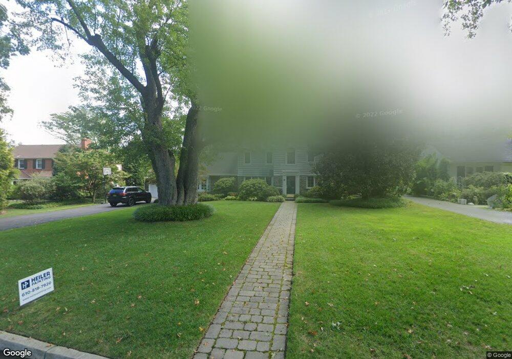
344 Station Ave Haddonfield, NJ 08033
Estimated Value: $1,500,000 - $1,761,000
4
Beds
3
Baths
3,064
Sq Ft
$532/Sq Ft
Est. Value
About This Home
This home is located at 344 Station Ave, Haddonfield, NJ 08033 and is currently estimated at $1,629,658, approximately $531 per square foot. 344 Station Ave is a home located in Camden County with nearby schools including Haddonfield Memorial High School, Haddonfield Friends School, and Saint Rose of Lima Catholic School.
Ownership History
Date
Name
Owned For
Owner Type
Purchase Details
Closed on
May 2, 2011
Sold by
Dougherty Brian J and Dougherty Pamela J
Bought by
Frey Steven and Frey Deborah Wolmark
Current Estimated Value
Home Financials for this Owner
Home Financials are based on the most recent Mortgage that was taken out on this home.
Original Mortgage
$620,000
Outstanding Balance
$430,871
Interest Rate
4.88%
Mortgage Type
Purchase Money Mortgage
Estimated Equity
$1,198,787
Create a Home Valuation Report for This Property
The Home Valuation Report is an in-depth analysis detailing your home's value as well as a comparison with similar homes in the area
Home Values in the Area
Average Home Value in this Area
Purchase History
| Date | Buyer | Sale Price | Title Company |
|---|---|---|---|
| Frey Steven | $775,000 | -- |
Source: Public Records
Mortgage History
| Date | Status | Borrower | Loan Amount |
|---|---|---|---|
| Open | Frey Steven | $620,000 |
Source: Public Records
Tax History
| Year | Tax Paid | Tax Assessment Tax Assessment Total Assessment is a certain percentage of the fair market value that is determined by local assessors to be the total taxable value of land and additions on the property. | Land | Improvement |
|---|---|---|---|---|
| 2025 | $26,972 | $868,600 | $387,300 | $481,300 |
| 2024 | $26,613 | $834,800 | $387,300 | $447,500 |
| 2023 | $26,613 | $834,800 | $387,300 | $447,500 |
| 2022 | $25,750 | $814,100 | $387,300 | $426,800 |
| 2021 | $25,620 | $814,100 | $387,300 | $426,800 |
| 2020 | $25,441 | $814,100 | $387,300 | $426,800 |
| 2019 | $252 | $814,100 | $387,300 | $426,800 |
| 2018 | $24,893 | $812,700 | $387,300 | $425,400 |
| 2017 | $24,300 | $812,700 | $387,300 | $425,400 |
| 2016 | $23,755 | $812,700 | $387,300 | $425,400 |
| 2015 | $23,097 | $812,700 | $387,300 | $425,400 |
| 2014 | $22,585 | $812,700 | $387,300 | $425,400 |
Source: Public Records
Map
Nearby Homes
- 370 Station Ave
- 344 Knolltop Ln
- 125 W Cottage Ave
- 38 Birchall Dr
- 75 Birchall Dr
- 33 Estaugh Ave
- 35 Estaugh Ave
- 109 W Euclid Ave
- 109 S Atlantic Ave
- 233 E Kings Hwy
- 25 W Euclid Ave
- 313 Woodland Ave
- 121 Reillywood Ave
- 302 3rd Ave
- 13 Wilkins Ave
- 100 3rd Ave
- 107 Centre St
- 396 Tavistock Blvd
- 1001 Wayne Rd
- 47 E Kings Hwy
- 350 Station Ave
- 338 Station Ave
- 356 Station Ave
- 140 Chews Landing Rd
- 330 Station Ave
- 130 Chews Landing Rd
- 150 Chews Landing Rd
- 349 Station Ave
- 355 Station Ave
- 120 Chews Landing Rd
- 200 Chews Landing Rd
- 345 Station Ave
- 326 Station Ave
- 361 Station Ave
- 360 Station Ave
- 110 Chews Landing Rd
- 324 Knolltop Ln
- 328 Knolltop Ln
- 316 Chews Landing Rd
- 320 Station Ave
Your Personal Tour Guide
Ask me questions while you tour the home.