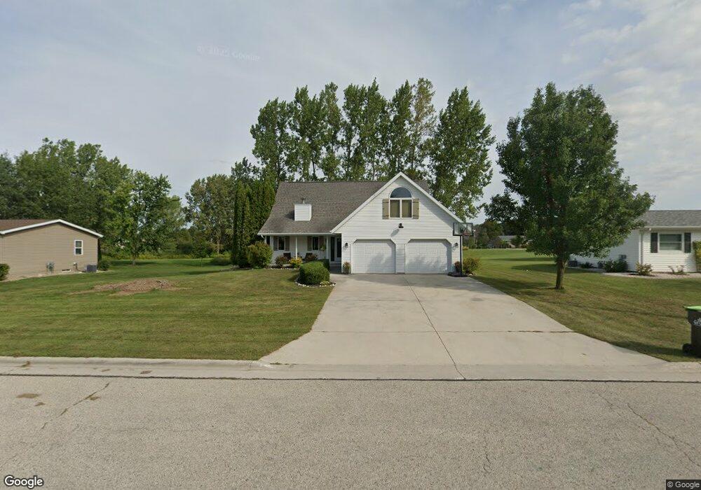
344 Truman St Whitelaw, WI 54247
Estimated Value: $317,693 - $323,000
3
Beds
2
Baths
1,684
Sq Ft
$190/Sq Ft
Est. Value
About This Home
This home is located at 344 Truman St, Whitelaw, WI 54247 and is currently estimated at $320,347, approximately $190 per square foot. 344 Truman St is a home located in Manitowoc County with nearby schools including Valders Elementary School, Valders Middle School, and Valders High School.
Ownership History
Date
Name
Owned For
Owner Type
Purchase Details
Closed on
Nov 8, 2012
Sold by
Welnicke Tony and Welnicke Kari
Bought by
Korinek Eric J
Current Estimated Value
Purchase Details
Closed on
Dec 2, 2008
Sold by
Neely Delise L and Stone Mike
Bought by
Welnicke Tony and Welnicke Kari
Home Financials for this Owner
Home Financials are based on the most recent Mortgage that was taken out on this home.
Original Mortgage
$129,520
Interest Rate
6.49%
Mortgage Type
Purchase Money Mortgage
Create a Home Valuation Report for This Property
The Home Valuation Report is an in-depth analysis detailing your home's value as well as a comparison with similar homes in the area
Home Values in the Area
Average Home Value in this Area
Purchase History
| Date | Buyer | Sale Price | Title Company |
|---|---|---|---|
| Korinek Eric J | $169,000 | -- | |
| Welnicke Tony | $161,900 | None Available |
Source: Public Records
Mortgage History
| Date | Status | Borrower | Loan Amount |
|---|---|---|---|
| Open | Korinek Eric J | $20,000 | |
| Closed | Korinek Eric J | $20,000 | |
| Previous Owner | Welnicke Tony | $137,317 | |
| Previous Owner | Welnicke Tony | $129,520 |
Source: Public Records
Tax History Compared to Growth
Tax History
| Year | Tax Paid | Tax Assessment Tax Assessment Total Assessment is a certain percentage of the fair market value that is determined by local assessors to be the total taxable value of land and additions on the property. | Land | Improvement |
|---|---|---|---|---|
| 2024 | $3,086 | $173,500 | $18,500 | $155,000 |
| 2023 | $3,073 | $173,500 | $18,500 | $155,000 |
| 2022 | $3,300 | $173,500 | $18,500 | $155,000 |
| 2021 | $3,096 | $173,500 | $18,500 | $155,000 |
| 2020 | $3,124 | $173,500 | $18,500 | $155,000 |
| 2019 | $3,153 | $173,500 | $18,500 | $155,000 |
| 2018 | $3,262 | $173,500 | $18,500 | $155,000 |
| 2017 | $3,139 | $173,500 | $18,500 | $155,000 |
| 2016 | $3,242 | $173,500 | $18,500 | $155,000 |
| 2015 | $3,358 | $173,500 | $18,500 | $155,000 |
| 2014 | -- | $173,500 | $18,500 | $155,000 |
| 2013 | $3,379 | $148,900 | $20,400 | $128,500 |
Source: Public Records
Map
Nearby Homes
- 0 E Menasha Ave
- 354 E Menasha Ave
- 4064 Tuschl Ln
- 156 W Menasha Ave
- 0 Hickory St
- 0 Hickory St
- 222 W Menasha Ave
- 11530 San Rd
- 535 W Menasha Ave
- 9213 Hilltop Rd
- 16904 Lax Chapel Rd
- Lt1 Morgan Rd
- 3227 Branch River Rd
- 5509 Thunder Rd
- 6403 Menchalville Rd
- Lt0 County Road T
- 7901 Middle Rd
- 8177 Middle Rd
- 11319 U S 151
- 1922 Madson Rd