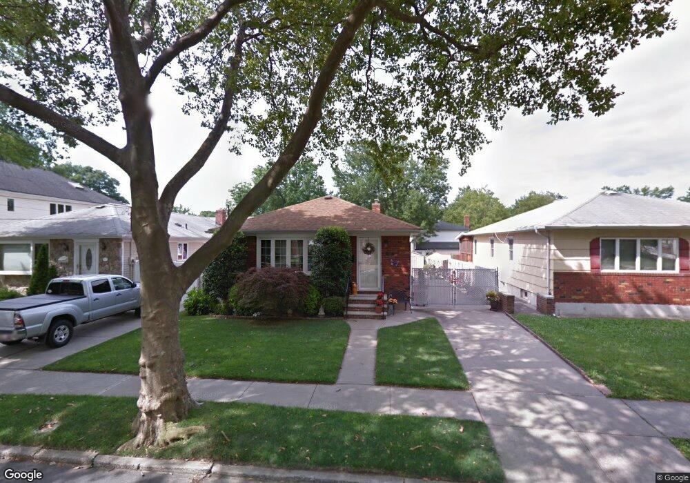
344 Tysens Ln Staten Island, NY 10306
Oakwood NeighborhoodEstimated Value: $590,000 - $708,000
--
Bed
4
Baths
1,056
Sq Ft
$618/Sq Ft
Est. Value
About This Home
This home is located at 344 Tysens Ln, Staten Island, NY 10306 and is currently estimated at $652,195, approximately $617 per square foot. 344 Tysens Ln is a home located in Richmond County with nearby schools including P.S. 50 Frank Hankinson School, Myra S. Barnes Intermediate School 24, and New Dorp High School.
Ownership History
Date
Name
Owned For
Owner Type
Purchase Details
Closed on
May 18, 2021
Sold by
Donatantonio Paula R and Shehata Tanya L
Bought by
Miceli Frank L
Current Estimated Value
Purchase Details
Closed on
Jun 13, 2018
Sold by
Miceli Frank L
Bought by
Miceli Frank L and Shehata Tanya L
Purchase Details
Closed on
Sep 8, 2015
Sold by
Miceli Nicolina
Bought by
Miceli Frank L and The Nicolina Miceli Irrevocable Trust
Purchase Details
Closed on
Jan 18, 2001
Sold by
Sterling Cathy and Fiorino Frances
Bought by
Miceli Louis and Miceli Nicolina
Create a Home Valuation Report for This Property
The Home Valuation Report is an in-depth analysis detailing your home's value as well as a comparison with similar homes in the area
Home Values in the Area
Average Home Value in this Area
Purchase History
| Date | Buyer | Sale Price | Title Company |
|---|---|---|---|
| Miceli Frank L | $384,000 | Express Abstract Svcs Inc | |
| Miceli Frank L | -- | None Available | |
| Miceli Frank L | -- | None Available | |
| Miceli Louis | $253,500 | -- |
Source: Public Records
Tax History Compared to Growth
Tax History
| Year | Tax Paid | Tax Assessment Tax Assessment Total Assessment is a certain percentage of the fair market value that is determined by local assessors to be the total taxable value of land and additions on the property. | Land | Improvement |
|---|---|---|---|---|
| 2025 | $7,096 | $43,080 | $10,907 | $32,173 |
| 2024 | $7,096 | $41,040 | $11,363 | $29,677 |
| 2023 | $6,769 | $33,330 | $10,475 | $22,855 |
| 2022 | $6,277 | $34,380 | $13,200 | $21,180 |
| 2021 | $6,243 | $36,240 | $13,200 | $23,040 |
| 2020 | $6,279 | $35,040 | $13,200 | $21,840 |
| 2019 | $6,159 | $33,480 | $13,200 | $20,280 |
| 2017 | $2,025 | $26,203 | $12,291 | $13,912 |
| 2016 | $3,212 | $24,720 | $13,200 | $11,520 |
| 2015 | $1,781 | $25,620 | $10,980 | $14,640 |
| 2014 | $1,781 | $24,900 | $10,980 | $13,920 |
Source: Public Records
Map
Nearby Homes
- 77 Penn Ave
- 4 Penn Ave
- 351 8th St
- 305 Tysens Ln Unit B
- 20 Francine Ct Unit A
- 13 Ella Place
- 32 Francine Ct Unit B
- 52A Francine Ct Unit 80A
- 52 Francine Ct Unit A
- 193 10th St
- 193 10 St
- 91 Allison Ave
- 23 Acorn St
- 32 Mobile Ave
- 52 Farrell Ct
- 2889 Amboy Rd
- 194 Tysens Ln
- 122 Guyon Ave
- 205 Penn Ave
- 77 Acorn St