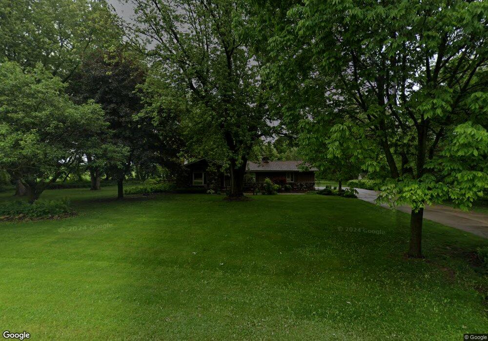
3440 Birnamwood Dr Slinger, WI 53086
Estimated Value: $392,785 - $528,000
--
Bed
--
Bath
--
Sq Ft
1.68
Acres
About This Home
This home is located at 3440 Birnamwood Dr, Slinger, WI 53086 and is currently estimated at $466,946. 3440 Birnamwood Dr is a home located in Washington County with nearby schools including Slinger High School and St Peter Elementary School.
Ownership History
Date
Name
Owned For
Owner Type
Purchase Details
Closed on
Sep 2, 2025
Sold by
Gordy Thomas A and Gordy Y
Bought by
Thomas A Gordy Family Trust
Current Estimated Value
Purchase Details
Closed on
Oct 10, 2020
Sold by
Leone Nick M and Leone Jean A
Bought by
Cordy Thomas A
Home Financials for this Owner
Home Financials are based on the most recent Mortgage that was taken out on this home.
Original Mortgage
$275,000
Interest Rate
2.8%
Mortgage Type
New Conventional
Purchase Details
Closed on
Jan 15, 2019
Sold by
Leone Nick M and Leone Jean A
Bought by
Gordy Thomas A
Home Financials for this Owner
Home Financials are based on the most recent Mortgage that was taken out on this home.
Original Mortgage
$325,000
Interest Rate
3%
Mortgage Type
Land Contract Argmt. Of Sale
Create a Home Valuation Report for This Property
The Home Valuation Report is an in-depth analysis detailing your home's value as well as a comparison with similar homes in the area
Home Values in the Area
Average Home Value in this Area
Purchase History
| Date | Buyer | Sale Price | Title Company |
|---|---|---|---|
| Thomas A Gordy Family Trust | -- | -- | |
| Cordy Thomas A | -- | None Available | |
| Gordy Thomas A | $330,000 | None Available |
Source: Public Records
Mortgage History
| Date | Status | Borrower | Loan Amount |
|---|---|---|---|
| Previous Owner | Cordy Thomas A | $275,000 | |
| Previous Owner | Gordy Thomas A | $325,000 |
Source: Public Records
Tax History Compared to Growth
Tax History
| Year | Tax Paid | Tax Assessment Tax Assessment Total Assessment is a certain percentage of the fair market value that is determined by local assessors to be the total taxable value of land and additions on the property. | Land | Improvement |
|---|---|---|---|---|
| 2024 | $2,621 | $343,800 | $97,000 | $246,800 |
| 2023 | $2,365 | $343,800 | $97,000 | $246,800 |
| 2022 | $2,536 | $261,800 | $77,600 | $184,200 |
| 2021 | $2,526 | $261,800 | $77,600 | $184,200 |
| 2020 | $2,579 | $261,800 | $77,600 | $184,200 |
| 2019 | $2,517 | $261,800 | $77,600 | $184,200 |
| 2018 | $2,502 | $240,900 | $75,200 | $165,700 |
| 2017 | $2,587 | $240,900 | $75,200 | $165,700 |
| 2016 | $2,572 | $240,900 | $75,200 | $165,700 |
| 2015 | $2,500 | $234,400 | $75,200 | $159,200 |
| 2014 | $2,500 | $228,500 | $75,200 | $153,300 |
| 2013 | $2,822 | $244,900 | $83,400 | $161,500 |
Source: Public Records
Map
Nearby Homes
- 4434 Foxboro Ct
- 4229 Sherman Rd
- 322 Dr
- 3555 Hillside Rd
- 1101 Ellys Way
- 3053 Bogey Ln
- 1900 Hillside Rd
- 2300 Sherman Rd
- 1865 Woodland Way Unit 421-3
- 1867 Woodland Way Unit 421-4
- 420 Cobblestone Ct
- 1844 Woodland Way Unit 431-1
- 1004 Lous Way
- 4455 Club Dr
- 231 Nordic Ln
- 572 Cedar Bluffs Way
- 305 Kames Ct
- 3933 Lovers Ln Unit 3935
- 3943 Lovers Ln
- 2491 Boulder Dr
- 3434 Birnamwood Dr
- 3437 Birnamwood Dr
- 3445 Birnamwood Dr
- 3429 Birnamwood Dr
- 3422 Birnamwood Dr
- 3455 Birnamwood Dr
- 3421 Birnamwood Dr
- 3413 Birnamwood Dr
- 3462 Birnamwood Dr
- 3458 Birnamwood Dr
- 3473 Birnamwood Dr
- 3478 Birnamwood Dr
- 3490 Birnamwood Dr
- 3428 Lovers Ln
- 3442 Lovers Ln
- 4485 Foxboro Ln
- 4477 Foxboro Ln
- 3454 Lovers Ln
- 4488 Foxboro Ln
- 3466 Lovers Ln