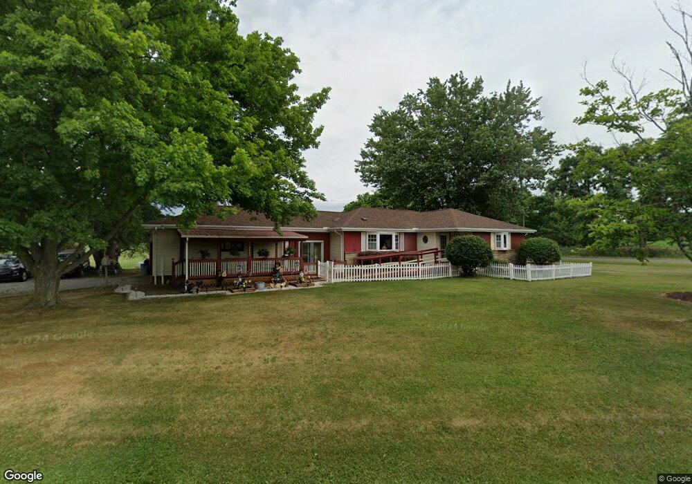
3440 Cook Rd Rootstown, OH 44272
Estimated Value: $251,959 - $350,000
3
Beds
1
Bath
1,590
Sq Ft
$183/Sq Ft
Est. Value
About This Home
This home is located at 3440 Cook Rd, Rootstown, OH 44272 and is currently estimated at $291,490, approximately $183 per square foot. 3440 Cook Rd is a home located in Portage County with nearby schools including Rootstown Middle School - Schnee Building and Rootstown High School.
Ownership History
Date
Name
Owned For
Owner Type
Purchase Details
Closed on
Jan 31, 2020
Sold by
Waples Crystal Laurel
Bought by
Waples Crystal Laurel and Waples Joseph
Current Estimated Value
Purchase Details
Closed on
Nov 18, 1999
Sold by
Harrell Charles L and Harrell Marian Jean
Bought by
Harrell Charles L and Harrell Marian Jean
Purchase Details
Closed on
Jan 1, 1990
Bought by
Harrell Charles L
Create a Home Valuation Report for This Property
The Home Valuation Report is an in-depth analysis detailing your home's value as well as a comparison with similar homes in the area
Purchase History
| Date | Buyer | Sale Price | Title Company |
|---|---|---|---|
| Waples Crystal Laurel | -- | None Available | |
| Waples Crystal Laurel | -- | None Available | |
| Harrell Charles L | -- | Endress/Lawyers Title | |
| Harrell Charles L | -- | -- |
Source: Public Records
Tax History
| Year | Tax Paid | Tax Assessment Tax Assessment Total Assessment is a certain percentage of the fair market value that is determined by local assessors to be the total taxable value of land and additions on the property. | Land | Improvement |
|---|---|---|---|---|
| 2024 | $2,982 | $74,480 | $9,800 | $64,680 |
| 2023 | $2,572 | $57,300 | $8,650 | $48,650 |
| 2022 | $2,544 | $57,300 | $8,650 | $48,650 |
| 2021 | $2,543 | $57,300 | $8,650 | $48,650 |
| 2020 | $1,884 | $49,460 | $8,230 | $41,230 |
| 2019 | $1,890 | $49,460 | $8,230 | $41,230 |
| 2018 | $1,882 | $42,810 | $8,750 | $34,060 |
| 2017 | $1,668 | $42,810 | $8,750 | $34,060 |
| 2016 | $1,638 | $42,810 | $8,750 | $34,060 |
| 2015 | $1,656 | $42,810 | $8,750 | $34,060 |
| 2014 | $1,687 | $42,810 | $8,750 | $34,060 |
| 2013 | $1,675 | $42,810 | $8,750 | $34,060 |
Source: Public Records
Map
Nearby Homes
- 4312 Apple Orchard
- 3689 Cherry Hill
- 3701 State Route 44
- 4225 Hattrick Rd
- 0 Tallmadge Rd Unit 5189301
- 0 Tallmadge Rd Unit 5189314
- 4958 Bassett Rd
- 0 Lynn Rd Unit 5110102
- 3021 Hartville Rd
- 2547 Industry Rd
- 3637 Old Forge Rd
- 4415 Farmette Dr
- 4691 Scenic Dr
- 4087 Industry
- V/L 2 Lynn Rd
- V/L Lynn Rd
- sub lot Lane Ave
- 4324 Abbey Ln
- 3080 Saxe Rd
- 0 Waterloo Rd
- 999 New Milford Rd
- 3456 New Milford Rd
- 3350 New Milford Rd
- 3405 Cook Rd
- 3365 New Milford Rd
- V/L Cook Rd
- 3343 New Milford Rd
- 3379 Cook Rd
- 3334 New Milford Rd
- 3353 New Milford Rd
- 3289 New Milford Rd
- 3326 Cook Rd
- 3281 New Milford Rd
- 3280 New Milford Rd
- 3518 Cook Rd
- 3598 New Milford Rd
- 3275 New Milford Rd
- 3327 New Milford Rd
- 3530 Cook Rd
- 3612 New Milford Rd
Your Personal Tour Guide
Ask me questions while you tour the home.