3440 Sampson Rd Camden, MI 49232
Estimated Value: $167,965
Studio
--
Bath
--
Sq Ft
37
Acres
About This Home
This home is located at 3440 Sampson Rd, Camden, MI 49232 and is currently estimated at $167,965. 3440 Sampson Rd is a home located in Hillsdale County with nearby schools including Camden-Frontier K-8 School, Camden-Frontier High School, and Amish School #1.
Ownership History
Date
Name
Owned For
Owner Type
Purchase Details
Closed on
Oct 1, 2009
Sold by
Delagrange Henry W and Delagrange Mary
Bought by
Delagrange Melvin H
Current Estimated Value
Home Financials for this Owner
Home Financials are based on the most recent Mortgage that was taken out on this home.
Original Mortgage
$91,000
Outstanding Balance
$58,781
Interest Rate
4.87%
Mortgage Type
Unknown
Estimated Equity
$109,184
Purchase Details
Closed on
Oct 30, 2007
Sold by
Carr Mary Anna and Carr Chub
Bought by
Delagrange Henry W and Delagrange Mary
Create a Home Valuation Report for This Property
The Home Valuation Report is an in-depth analysis detailing your home's value as well as a comparison with similar homes in the area
Purchase History
| Date | Buyer | Sale Price | Title Company |
|---|---|---|---|
| Delagrange Melvin H | $91,000 | Public Title Agency | |
| Delagrange Henry W | $91,000 | First American Title Ins |
Source: Public Records
Mortgage History
| Date | Status | Borrower | Loan Amount |
|---|---|---|---|
| Open | Delagrange Melvin H | $91,000 |
Source: Public Records
Tax History
| Year | Tax Paid | Tax Assessment Tax Assessment Total Assessment is a certain percentage of the fair market value that is determined by local assessors to be the total taxable value of land and additions on the property. | Land | Improvement |
|---|---|---|---|---|
| 2025 | $366 | $117,500 | $0 | $0 |
| 2024 | $2 | $88,100 | $0 | $0 |
| 2023 | $196 | $75,200 | $0 | $0 |
| 2022 | $403 | $65,800 | $0 | $0 |
| 2021 | $392 | $67,300 | $0 | $0 |
| 2020 | $397 | $70,100 | $0 | $0 |
| 2019 | $382 | $67,300 | $0 | $0 |
| 2018 | $363 | $69,800 | $0 | $0 |
| 2017 | $352 | $71,340 | $0 | $0 |
| 2016 | $348 | $58,910 | $0 | $0 |
| 2015 | $165 | $58,910 | $0 | $0 |
| 2013 | -- | $60,450 | $0 | $0 |
| 2012 | $156 | $51,680 | $0 | $0 |
Source: Public Records
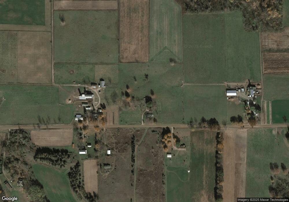
Map
Nearby Homes
- 14364 Horn Dr
- 14934 Heather Ct
- 0 W Territorial Rd Unit 11603977
- 13551 Hillsdale Rd
- 1601 W Territorial Rd
- 623-624 Yuma Trail
- 460 Seneca Dr
- 988-989 Seneca Dr
- 0 Pontiac Trail Unit 10001711
- 207 Modoc Trail
- 600 Seneca Dr
- 107 Mary St
- 155 Navajo Trail
- 169 Seneca Dr
- 638 Seneca Dr
- 3711 County Rd S
- 6524 W Montgomery Rd
- 0 Dimmers Rd
- 145 Lumbee Ln
- 1440 Dimmers Rd
- 13752 Cambria Rd
- 3160 Sampson Rd
- 3371 Sampson Rd
- 13700 Cambria Rd
- 3531 Sampson Rd
- 3091 Sampson Rd
- 3689 Sampson Rd
- 3711 Sampson Rd
- 3740 Sampson Rd
- 13400 Cambria Rd
- 13851 Cambria Rd
- 3480 Sampson Rd
- 3405 Sampson Rd
- 4126 Sampson Rd
- 13200 Cambria Rd
- 14235 Carpenter Rd
- 14243 Carpenter Rd
- 2891 Sampson Rd
- 3611 Austin Rd
- 3611 Austin Rd
Your Personal Tour Guide
Ask me questions while you tour the home.