3441 Core Ave High Point, NC 27265
Florence NeighborhoodEstimated Value: $286,552 - $325,000
3
Beds
2
Baths
1,595
Sq Ft
$196/Sq Ft
Est. Value
About This Home
This home is located at 3441 Core Ave, High Point, NC 27265 and is currently estimated at $312,388, approximately $195 per square foot. 3441 Core Ave is a home with nearby schools including Montlieu Academy of Technology, Welborn Academy of Science & Technology, and T.W. Andrews High School.
Ownership History
Date
Name
Owned For
Owner Type
Purchase Details
Closed on
Jul 25, 2012
Sold by
Keystone Group Inc
Bought by
Foster Herman and Foster Anna
Current Estimated Value
Home Financials for this Owner
Home Financials are based on the most recent Mortgage that was taken out on this home.
Original Mortgage
$144,485
Outstanding Balance
$100,675
Interest Rate
3.87%
Mortgage Type
FHA
Estimated Equity
$211,713
Purchase Details
Closed on
Feb 1, 2012
Bought by
Keystone Group Inc
Purchase Details
Closed on
Feb 24, 2005
Bought by
Spka Llc
Create a Home Valuation Report for This Property
The Home Valuation Report is an in-depth analysis detailing your home's value as well as a comparison with similar homes in the area
Home Values in the Area
Average Home Value in this Area
Purchase History
| Date | Buyer | Sale Price | Title Company |
|---|---|---|---|
| Foster Herman | $159,000 | None Available | |
| Keystone Group Inc | $256,000 | -- | |
| Spka Llc | -- | -- |
Source: Public Records
Mortgage History
| Date | Status | Borrower | Loan Amount |
|---|---|---|---|
| Open | Foster Herman | $144,485 |
Source: Public Records
Tax History
| Year | Tax Paid | Tax Assessment Tax Assessment Total Assessment is a certain percentage of the fair market value that is determined by local assessors to be the total taxable value of land and additions on the property. | Land | Improvement |
|---|---|---|---|---|
| 2025 | $2,928 | $212,500 | $55,000 | $157,500 |
| 2024 | $2,928 | $212,500 | $55,000 | $157,500 |
| 2023 | $2,928 | $212,500 | $55,000 | $157,500 |
| 2022 | $2,865 | $212,500 | $55,000 | $157,500 |
| 2021 | $2,231 | $161,900 | $32,000 | $129,900 |
| 2020 | $2,231 | $161,900 | $32,000 | $129,900 |
| 2019 | $2,231 | $161,900 | $0 | $0 |
| 2018 | $2,220 | $161,900 | $0 | $0 |
| 2017 | $2,231 | $161,900 | $0 | $0 |
| 2016 | $2,083 | $148,500 | $0 | $0 |
| 2015 | $2,094 | $148,500 | $0 | $0 |
| 2014 | $2,129 | $148,500 | $0 | $0 |
Source: Public Records
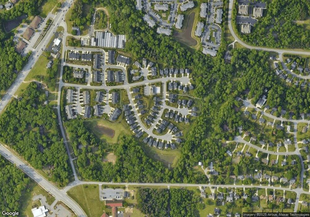
Map
Nearby Homes
- 3464 Basalt Ct
- 3518 Pebblestone Ln
- 3505 Timbergate Ln
- 3710 Spanish Peak Dr Unit 2D
- 3724 Spanish Peak Dr Unit 2B
- 3650 Sunset Hollow Dr
- 3630 Sunset Hollow Dr
- 2855 Mossy Meadow Dr
- 2200 Delaine Point
- 3869 Hickswood Creek Dr
- 3871 Eagleston Ct
- 1935 Eastchester Dr
- 3534 Running Cedar Trail
- 3946 Cobblestone Bend Dr
- 2922 Hearthstone Point Dr
- 3920 Cloverwood Meadow Ln
- 3532 Sage Dale Ct
- 3973 Cobblestone Bend Dr
- 4109 Oak Hollow Dr
- 1650 Penny Rd
Your Personal Tour Guide
Ask me questions while you tour the home.