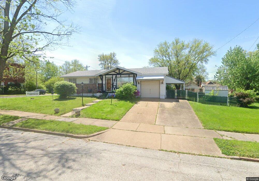
3441 Mccausland Ave Saint Louis, MO 63139
Lindenwood Park NeighborhoodEstimated Value: $205,574 - $235,000
--
Bed
1
Bath
2,000
Sq Ft
$111/Sq Ft
Est. Value
About This Home
This home is located at 3441 Mccausland Ave, Saint Louis, MO 63139 and is currently estimated at $222,894, approximately $111 per square foot. 3441 Mccausland Ave is a home located in St. Louis City with nearby schools including Mason Elementary School, Long International Middle School, and Roosevelt High School.
Ownership History
Date
Name
Owned For
Owner Type
Purchase Details
Closed on
Jul 16, 1998
Sold by
Sherrill Carl D and Sherrill Charline M
Bought by
Dreher Donald A and Dreher Elizabeth F
Current Estimated Value
Home Financials for this Owner
Home Financials are based on the most recent Mortgage that was taken out on this home.
Original Mortgage
$40,000
Interest Rate
6.91%
Mortgage Type
Purchase Money Mortgage
Create a Home Valuation Report for This Property
The Home Valuation Report is an in-depth analysis detailing your home's value as well as a comparison with similar homes in the area
Home Values in the Area
Average Home Value in this Area
Purchase History
| Date | Buyer | Sale Price | Title Company |
|---|---|---|---|
| Dreher Donald A | -- | -- |
Source: Public Records
Mortgage History
| Date | Status | Borrower | Loan Amount |
|---|---|---|---|
| Previous Owner | Dreher Donald A | $40,000 |
Source: Public Records
Tax History Compared to Growth
Tax History
| Year | Tax Paid | Tax Assessment Tax Assessment Total Assessment is a certain percentage of the fair market value that is determined by local assessors to be the total taxable value of land and additions on the property. | Land | Improvement |
|---|---|---|---|---|
| 2025 | $2,826 | $39,610 | $2,580 | $37,030 |
| 2024 | $2,689 | $33,430 | $2,580 | $30,850 |
| 2023 | $2,689 | $33,430 | $2,580 | $30,850 |
| 2022 | $2,560 | $30,630 | $2,580 | $28,050 |
| 2021 | $2,556 | $30,630 | $2,580 | $28,050 |
| 2020 | $2,309 | $27,850 | $2,580 | $25,270 |
| 2019 | $2,301 | $27,850 | $2,580 | $25,270 |
| 2018 | $1,976 | $23,150 | $2,380 | $20,770 |
| 2017 | $1,943 | $23,140 | $2,380 | $20,770 |
| 2016 | $1,842 | $21,640 | $2,380 | $19,270 |
| 2015 | $1,670 | $21,650 | $2,380 | $19,270 |
| 2014 | $1,621 | $21,650 | $2,380 | $19,270 |
| 2013 | -- | $21,000 | $2,380 | $18,620 |
Source: Public Records
Map
Nearby Homes
- 6953 Arthur Ave
- 3558 Wabash Ave
- 3308 Jamieson Ave
- 6811 Marquette Ave
- 7038 Pernod Ave
- 7047 Tholozan Ave
- 3316 Commonwealth Ave
- 6656 Oleatha Ave
- 6653 Hancock Ave
- 7114 Drury Ln
- 3815 Mccausland Ave Unit 4
- 6659 Tholozan Ave
- 6631 Pernod Ave
- 6625 Hancock Ave
- 6611 Pernod Ave
- 3203 Ivanhoe Ave
- 6621 Tholozan Ave
- 3434 Greenwood Blvd
- 6973 Winona Ave
- 7081 Winona Ave
- 3445 Mccausland Ave
- 3449 Mccausland Ave
- 3453 Mccausland Ave
- 6980 Hancock Ave
- 3427 Mccausland Ave
- 6976 Hancock Ave
- 7003 Marquette Ave
- 7007 Marquette Ave
- 6974 Hancock Ave
- 3423 Mccausland Ave
- 7019 Marquette Ave
- 6975 Hancock Ave
- 6981 Marquette Ave
- 6975 Marquette Ave
- 6971 Hancock Ave
- 6969 Marquette Ave
- 6962 Hancock Ave
- 6967 Hancock Ave
- 7023 Marquette Ave
- 6965 Marquette Ave