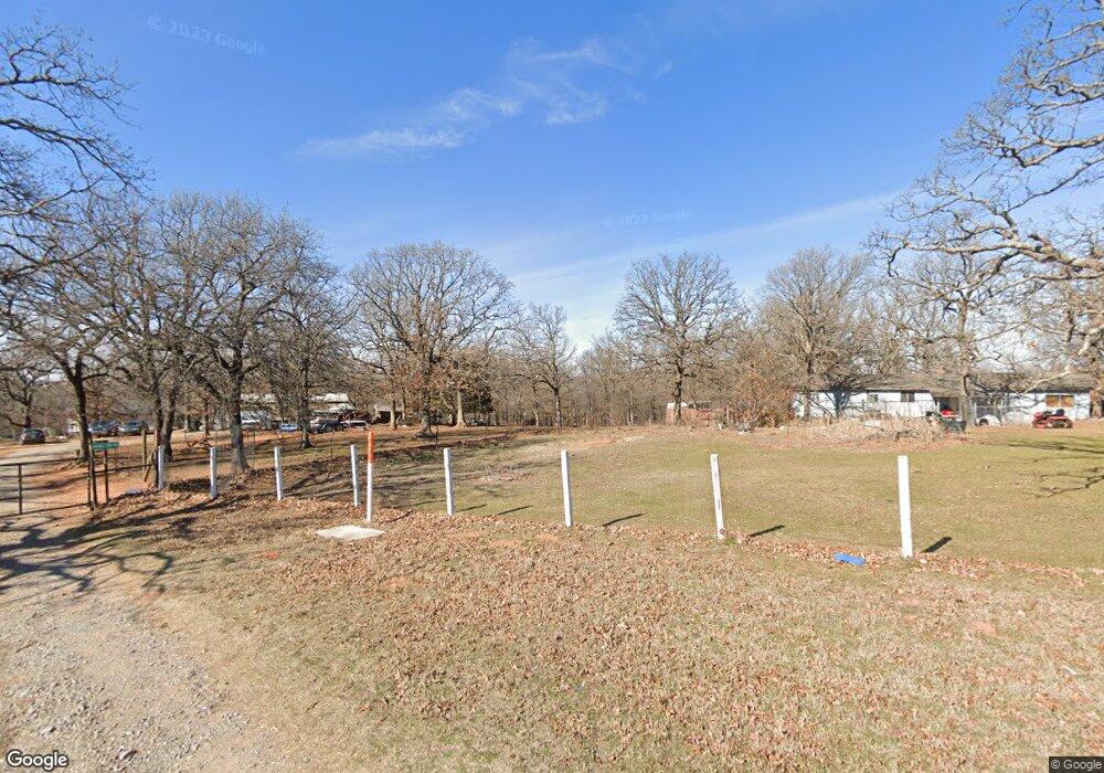
344118 E 880 Rd Chandler, OK 74834
Estimated Value: $297,901 - $453,000
3
Beds
2
Baths
1,668
Sq Ft
$212/Sq Ft
Est. Value
About This Home
This home is located at 344118 E 880 Rd, Chandler, OK 74834 and is currently estimated at $353,725, approximately $212 per square foot. 344118 E 880 Rd is a home located in Lincoln County with nearby schools including East Side Elementary School, Park Road Elementary School, and Chandler Junior High School.
Ownership History
Date
Name
Owned For
Owner Type
Purchase Details
Closed on
Oct 10, 2008
Sold by
Anderson Glenn and Anderson Melissa
Bought by
Anderson Glenn and Anderson Melissa
Current Estimated Value
Purchase Details
Closed on
Mar 10, 2008
Sold by
Rhones Lawrence R and Rhones Linda J
Bought by
Anderson Glenn W and Anderson Melissa A
Home Financials for this Owner
Home Financials are based on the most recent Mortgage that was taken out on this home.
Original Mortgage
$137,750
Outstanding Balance
$85,724
Interest Rate
5.72%
Mortgage Type
New Conventional
Estimated Equity
$268,001
Purchase Details
Closed on
Jan 5, 1993
Sold by
Young Nelson B and Young Cynthia R
Bought by
Rhodes Lawrence R and Rhodes Linda
Purchase Details
Closed on
May 2, 1991
Sold by
Stevens Johnie R and Stevens Doris M
Bought by
Young Nelson B and Young Cynthia R
Create a Home Valuation Report for This Property
The Home Valuation Report is an in-depth analysis detailing your home's value as well as a comparison with similar homes in the area
Home Values in the Area
Average Home Value in this Area
Purchase History
| Date | Buyer | Sale Price | Title Company |
|---|---|---|---|
| Anderson Glenn | -- | None Available | |
| Anderson Glenn W | $145,000 | None Available | |
| Rhodes Lawrence R | $6,500 | -- | |
| Young Nelson B | $7,500 | -- |
Source: Public Records
Mortgage History
| Date | Status | Borrower | Loan Amount |
|---|---|---|---|
| Open | Anderson Glenn W | $137,750 |
Source: Public Records
Tax History Compared to Growth
Tax History
| Year | Tax Paid | Tax Assessment Tax Assessment Total Assessment is a certain percentage of the fair market value that is determined by local assessors to be the total taxable value of land and additions on the property. | Land | Improvement |
|---|---|---|---|---|
| 2024 | $1,537 | $16,508 | $7,535 | $8,973 |
| 2023 | $1,537 | $19,584 | $7,535 | $12,049 |
| 2022 | $1,395 | $16,998 | $6,471 | $10,527 |
| 2021 | $1,387 | $16,503 | $5,500 | $11,003 |
| 2020 | $1,409 | $16,289 | $5,269 | $11,020 |
| 2019 | $1,388 | $15,815 | $5,181 | $10,634 |
| 2018 | $1,379 | $15,983 | $5,071 | $10,912 |
| 2017 | $1,344 | $15,518 | $4,847 | $10,671 |
| 2016 | $1,276 | $15,067 | $5,181 | $9,886 |
| 2015 | $1,249 | $14,628 | $4,725 | $9,903 |
| 2014 | $1,210 | $14,202 | $4,615 | $9,587 |
Source: Public Records
Map
Nearby Homes
- 343679 Round Rock Dr
- Williamette Plan at Round Rock
- Yellowstone Plan at Round Rock
- White River Plan at Round Rock
- Talladega Plan at Round Rock
- Wallowa Plan at Round Rock
- Umatilla Plan at Round Rock
- Sierra Plan at Round Rock
- Rio Grande Plan at Round Rock
- Prescott Plan at Round Rock
- Ouachita Plan at Round Rock
- Nez Perce Plan at Round Rock
- Medicine Bow Plan at Round Rock
- Malheur Plan at Round Rock
- Lincoln Plan at Round Rock
- Klamath Plan at Round Rock
- Gallatin Plan at Round Rock
- Hiawatha Plan at Round Rock
- Fremont Plan at Round Rock
- Eldorado Plan at Round Rock
- 344341 E 880 Rd
- 344045 E 875 Rd
- 344418 E 880 Rd
- 0 E0875 Rd & N3345 Rd Unit 1029966
- 870501 S 3440 Rd
- 870501-870571 S 3445 Rd
- 344001 E 875 Rd
- 870402 S 3440 Rd
- 344605 E 880 Rd
- 870395 Red Stone Cir
- 870392 Red Stone Cir
- 870610 S 3445 Rd
- 870384 Red Stone Cir
- 344782 E 880 Rd
- 870475 S Highway 18
- 0 N Highway 18 Hwy Unit 1070420
- 0 N Highway 18 Hwy Unit 1026704
- 343773 Rock View Trail
- 336958 E 910 Rd
- 343745 Rock View Trail