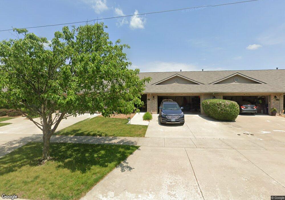
3442 Front St Matteson, IL 60443
Estimated Value: $224,000 - $256,000
2
Beds
2
Baths
1,728
Sq Ft
$138/Sq Ft
Est. Value
About This Home
This home is located at 3442 Front St, Matteson, IL 60443 and is currently estimated at $238,847, approximately $138 per square foot. 3442 Front St is a home located in Cook County with nearby schools including Illinois School, Indiana Elementary School, and Arcadia Elementary School.
Ownership History
Date
Name
Owned For
Owner Type
Purchase Details
Closed on
Aug 17, 2017
Sold by
Sanders Raymond and Sanders Lois M
Bought by
Sanders Lois M
Current Estimated Value
Purchase Details
Closed on
Sep 2, 2013
Sold by
Pecora Pauline M and Grace David J
Bought by
Sanders Raymond and Sanders Lois M
Purchase Details
Closed on
Nov 11, 2003
Sold by
Pecora Pauline M and Pecora Frank E
Bought by
Pecora Pauline M and Grace David J
Purchase Details
Closed on
Nov 5, 2002
Sold by
Lincoln Way Builders Inc
Bought by
Pecora Pauline M
Create a Home Valuation Report for This Property
The Home Valuation Report is an in-depth analysis detailing your home's value as well as a comparison with similar homes in the area
Home Values in the Area
Average Home Value in this Area
Purchase History
| Date | Buyer | Sale Price | Title Company |
|---|---|---|---|
| Sanders Lois M | -- | None Available | |
| Sanders Raymond | $107,000 | Pntn | |
| Pecora Pauline M | -- | -- | |
| Pecora Pauline M | $145,000 | -- |
Source: Public Records
Tax History
| Year | Tax Paid | Tax Assessment Tax Assessment Total Assessment is a certain percentage of the fair market value that is determined by local assessors to be the total taxable value of land and additions on the property. | Land | Improvement |
|---|---|---|---|---|
| 2025 | $1,177 | $18,000 | $2,195 | $15,805 |
| 2024 | $1,177 | $18,000 | $2,195 | $15,805 |
| 2023 | $1,594 | $18,000 | $2,195 | $15,805 |
| 2022 | $1,594 | $11,928 | $1,921 | $10,007 |
| 2021 | $1,573 | $11,927 | $1,920 | $10,007 |
| 2020 | $1,357 | $11,927 | $1,920 | $10,007 |
| 2019 | $1,524 | $13,207 | $1,783 | $11,424 |
| 2018 | $1,527 | $13,207 | $1,783 | $11,424 |
| 2017 | $3,543 | $13,207 | $1,783 | $11,424 |
| 2016 | $2,794 | $9,964 | $1,646 | $8,318 |
| 2015 | $2,665 | $9,964 | $1,646 | $8,318 |
| 2014 | $2,626 | $9,964 | $1,646 | $8,318 |
| 2013 | $4,329 | $10,030 | $1,646 | $8,384 |
Source: Public Records
Map
Nearby Homes
- 21617 Dogwood Rd Unit 1125
- 313 Jackson St
- 540 Homan Ave
- 21635 Dogwood Rd Unit 1165
- 3704 215th St Unit 105
- 3704 215th St Unit 205
- 3727 214th Place Unit 2
- 500 Antietam St
- 3133 Heritage Blvd
- 126 Indiana St
- 338 Waldmann Dr
- 120 Indiana St
- 21142 Locust St
- 3809 215th St
- 209 Indiana St
- 3844 214th Place
- 3435 218th Place
- 442 Homan Ave
- 3135 Nottingham Ct
- 3133 Nottingham Ct
- 3436 Front St
- 3448 Front St
- 3430 Front St
- 3443 Station Dr
- 3437 Station Dr
- 3420 Front St
- 3449 Station Dr
- 3431 Station Dr
- 3514 Station Dr
- 3520 Station Dr
- 3508 Station Dr
- 3414 Front St
- 3502 Station Dr
- 3421 Station Dr
- 3408 Front St
- 3415 Station Dr
- 3409 Station Dr
- 3402 Front St
- 3444 Station Dr
- 3438 Station Dr
Your Personal Tour Guide
Ask me questions while you tour the home.