34421 Bond Rd Lebanon, OR 97355
Estimated Value: $1,060,000 - $1,156,708
3
Beds
3
Baths
3,270
Sq Ft
$339/Sq Ft
Est. Value
About This Home
This home is located at 34421 Bond Rd, Lebanon, OR 97355 and is currently estimated at $1,108,354, approximately $338 per square foot. 34421 Bond Rd is a home with nearby schools including Lacomb School and Lebanon High School.
Ownership History
Date
Name
Owned For
Owner Type
Purchase Details
Closed on
Feb 10, 2023
Sold by
Gannon Roberta L
Bought by
Roberta Gannon Trust
Current Estimated Value
Purchase Details
Closed on
Nov 22, 2017
Sold by
Lasnecki Ernest P and Lasnecki Rosemarie H
Bought by
Norfleet Martin D and Norfleet Paige L
Home Financials for this Owner
Home Financials are based on the most recent Mortgage that was taken out on this home.
Original Mortgage
$495,200
Interest Rate
3.91%
Mortgage Type
New Conventional
Purchase Details
Closed on
Sep 26, 2006
Sold by
Lasneski Ernest and Lasneski Rosemarie
Bought by
Lasneski Ernest P and Lasneski Rosemarie H
Purchase Details
Closed on
Sep 25, 2006
Sold by
Westerholt Delmer E
Bought by
Lasneski Ernest and Lasneski Rosemarie
Purchase Details
Closed on
Jun 21, 2004
Sold by
Westerholt Delmar E
Bought by
Westerholt Delmar E
Create a Home Valuation Report for This Property
The Home Valuation Report is an in-depth analysis detailing your home's value as well as a comparison with similar homes in the area
Home Values in the Area
Average Home Value in this Area
Purchase History
| Date | Buyer | Sale Price | Title Company |
|---|---|---|---|
| Roberta Gannon Trust | -- | -- | |
| Norfleet Martin D | $619,000 | Amerititle | |
| Lasneski Ernest P | -- | Ticor Title | |
| Lasneski Ernest | $195,000 | Ticor Title | |
| Westerholt Delmar E | -- | -- |
Source: Public Records
Mortgage History
| Date | Status | Borrower | Loan Amount |
|---|---|---|---|
| Previous Owner | Norfleet Martin D | $495,200 |
Source: Public Records
Tax History Compared to Growth
Tax History
| Year | Tax Paid | Tax Assessment Tax Assessment Total Assessment is a certain percentage of the fair market value that is determined by local assessors to be the total taxable value of land and additions on the property. | Land | Improvement |
|---|---|---|---|---|
| 2025 | $5,088 | $346,774 | -- | -- |
| 2024 | $4,960 | $336,961 | -- | -- |
| 2023 | $4,819 | $327,438 | $0 | $0 |
| 2022 | $4,722 | $318,194 | $0 | $0 |
| 2021 | $4,522 | $309,058 | $0 | $0 |
| 2020 | $4,432 | $300,181 | $0 | $0 |
| 2019 | $4,321 | $291,560 | $0 | $0 |
| 2018 | $4,214 | $283,196 | $0 | $0 |
| 2017 | $4,122 | $275,070 | $0 | $0 |
| 2016 | $4,029 | $267,328 | $0 | $0 |
| 2015 | $3,894 | $259,673 | $0 | $0 |
| 2014 | $3,769 | $249,272 | $0 | $0 |
Source: Public Records
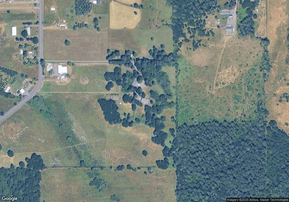
Map
Nearby Homes
- 34974 Richardson Gap Rd
- 33941 Totem Pole Rd
- 34225 Kowitz Rd
- 39042 Mount Hope Dr
- 35388 Rd
- 34965 Brewster Rd
- 40235 Rainbow Dr
- 33788 Brewster Rd
- 40189 Mount Hope Dr
- 36062 Providence School Rd
- 00 Bellinger Scale (2) Rd
- TL 1501 Bellinger Scale Rd
- 0000 Bellinger Scale Rd
- 35247 Ede Rd
- 36080 Richardson Gap Rd
- 0 Belinger Scale (1) Rd
- 0 Bellinger Scale (1) Rd
- 000 Bellinger Scale (3) Rd
- 32583 Bellinger Scale Rd
- 34821 Ede Rd
- 34415 Bond Rd
- 34414 Bond Rd
- 34450 Pinewood Ln
- 34450 Bond Rd
- 34470 Bond Rd
- 34519 Bond Rd
- 39560 Baptist Church Dr
- 39670 Baptist Church Dr
- 39586 Baptist Church Dr
- 34521 Pinewood Ln
- 34376 Bond Rd
- 39704 Baptist Church Dr
- 34351 Bond Rd
- 39636 Baptist Church Dr
- 34568 Bond Rd
- 39615 Lacomb Dr
- 39618 Baptist Church Dr
- 39774 Baptist Church Dr
- 39625 Baptist Church Dr
- 39547 Baptist Church Dr