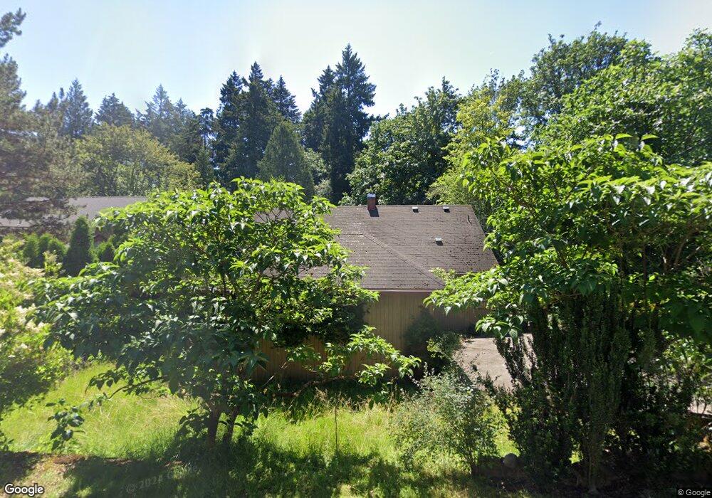
3444 Arbor Dr West Linn, OR 97068
Robinwood NeighborhoodEstimated Value: $637,582 - $757,000
3
Beds
1
Bath
2,775
Sq Ft
$247/Sq Ft
Est. Value
About This Home
This home is located at 3444 Arbor Dr, West Linn, OR 97068 and is currently estimated at $684,396, approximately $246 per square foot. 3444 Arbor Dr is a home located in Clackamas County with nearby schools including Cedaroak Park Primary School, West Linn High School, and Harmony Academy.
Ownership History
Date
Name
Owned For
Owner Type
Purchase Details
Closed on
Feb 26, 2002
Sold by
Schafer Edward Allen and Morrell Linda J
Bought by
Morrell Linda J
Current Estimated Value
Home Financials for this Owner
Home Financials are based on the most recent Mortgage that was taken out on this home.
Original Mortgage
$131,200
Outstanding Balance
$52,698
Interest Rate
6.8%
Estimated Equity
$631,698
Purchase Details
Closed on
Mar 1, 1994
Bought by
Morrell Linda J
Create a Home Valuation Report for This Property
The Home Valuation Report is an in-depth analysis detailing your home's value as well as a comparison with similar homes in the area
Home Values in the Area
Average Home Value in this Area
Purchase History
| Date | Buyer | Sale Price | Title Company |
|---|---|---|---|
| Morrell Linda J | -- | Oregon Title Insurance Co | |
| Morrell Linda J | -- | -- |
Source: Public Records
Mortgage History
| Date | Status | Borrower | Loan Amount |
|---|---|---|---|
| Open | Morrell Linda J | $131,200 |
Source: Public Records
Tax History Compared to Growth
Tax History
| Year | Tax Paid | Tax Assessment Tax Assessment Total Assessment is a certain percentage of the fair market value that is determined by local assessors to be the total taxable value of land and additions on the property. | Land | Improvement |
|---|---|---|---|---|
| 2025 | $4,201 | $217,964 | -- | -- |
| 2024 | $4,043 | $211,616 | -- | -- |
| 2023 | $4,043 | $205,453 | $0 | $0 |
| 2022 | $3,816 | $199,469 | $0 | $0 |
| 2021 | $3,623 | $193,660 | $0 | $0 |
| 2020 | $3,647 | $188,020 | $0 | $0 |
| 2019 | $3,478 | $182,544 | $0 | $0 |
| 2018 | $3,323 | $177,227 | $0 | $0 |
| 2017 | $3,194 | $172,065 | $0 | $0 |
| 2016 | $3,111 | $167,053 | $0 | $0 |
| 2015 | $3,023 | $162,187 | $0 | $0 |
| 2014 | $2,910 | $157,463 | $0 | $0 |
Source: Public Records
Map
Nearby Homes
- 3340 Arbor Dr
- 18649 Old River Dr
- 18194 Shady Hollow Way
- 2636 Maria Ct
- 3446 Fernvilla Dr
- 3777 Parkwood Way
- 4400 Calaroga Dr
- 18418 Old River Landing
- 18711 Willamette Dr
- 3910 Calaroga Cir
- 17833 Marylcreek Dr
- 2455 College Hill Place
- 2041 Marylhurst Dr
- 2167 Marylwood Ct
- 17634 Brookhurst Dr
- 1354 Skye Pkwy
- 17623 Brookhurst Dr
- 3893 Cedaroak Dr
- 1384 Celtic Ct
- 17514 Brookhurst Dr