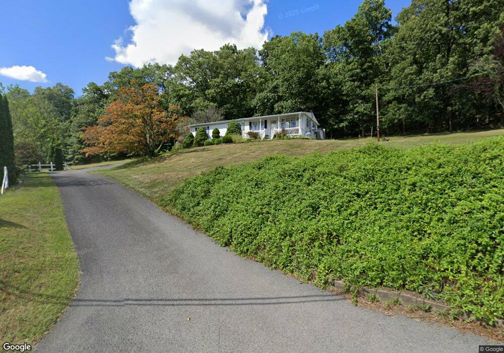
3444 State Route 125 Shamokin, PA 17872
Estimated Value: $110,851 - $223,000
--
Bed
--
Bath
--
Sq Ft
0.65
Acres
About This Home
This home is located at 3444 State Route 125, Shamokin, PA 17872 and is currently estimated at $157,463. 3444 State Route 125 is a home located in Northumberland County with nearby schools including Shamokin Area Elementary School, Shamokin Area Middle School, and Shamokin Area High School.
Ownership History
Date
Name
Owned For
Owner Type
Purchase Details
Closed on
Jul 6, 2020
Sold by
Zabawsky Judith M and Miller Avis A
Bought by
Waldron Gary S and Waldron Deborah A
Current Estimated Value
Home Financials for this Owner
Home Financials are based on the most recent Mortgage that was taken out on this home.
Original Mortgage
$85,500
Outstanding Balance
$75,816
Interest Rate
3.1%
Mortgage Type
New Conventional
Estimated Equity
$81,647
Create a Home Valuation Report for This Property
The Home Valuation Report is an in-depth analysis detailing your home's value as well as a comparison with similar homes in the area
Home Values in the Area
Average Home Value in this Area
Purchase History
| Date | Buyer | Sale Price | Title Company |
|---|---|---|---|
| Waldron Gary S | $95,000 | None Available |
Source: Public Records
Mortgage History
| Date | Status | Borrower | Loan Amount |
|---|---|---|---|
| Open | Waldron Gary S | $85,500 |
Source: Public Records
Tax History Compared to Growth
Tax History
| Year | Tax Paid | Tax Assessment Tax Assessment Total Assessment is a certain percentage of the fair market value that is determined by local assessors to be the total taxable value of land and additions on the property. | Land | Improvement |
|---|---|---|---|---|
| 2025 | $1,570 | $17,950 | $1,930 | $16,020 |
| 2024 | $1,425 | $17,950 | $1,930 | $16,020 |
| 2023 | $1,425 | $17,950 | $1,930 | $16,020 |
| 2022 | $1,391 | $17,950 | $1,930 | $16,020 |
| 2021 | $1,363 | $17,950 | $1,930 | $16,020 |
| 2020 | $1,339 | $17,950 | $1,930 | $16,020 |
| 2019 | $1,307 | $17,950 | $1,930 | $16,020 |
| 2018 | $1,286 | $17,950 | $1,930 | $16,020 |
| 2017 | $1,206 | $17,950 | $1,930 | $16,020 |
| 2016 | -- | $17,950 | $1,930 | $16,020 |
| 2015 | -- | $17,950 | $1,930 | $16,020 |
| 2014 | -- | $17,950 | $1,930 | $16,020 |
Source: Public Records
Map
Nearby Homes
- 4617 Upper Rd
- 4199 Upper Rd
- 456 S Shamokin St
- 400 and 402 S Shamokin St
- 408 Water St
- 1701 Pulaski Ave
- 328 S Shamokin St
- 33 35 N Berry St
- 303 S Rock St
- 0 Old Excelsior Rd
- 242 S Shamokin St
- 533 S Market St
- 401 Clay St
- 108 N Berry St
- 206 S Shamokin St
- 135 W Montgomery St
- 347 S 7th St
- 1221 Chemung St
- 319 S Market St
- 338 S Market St
- 4749 Upper Rd
- 3460 State Route 125
- 4767 Upper Rd
- 4769 Upper Rd
- 3457 State Route 125
- 3429 State Route 125
- 4729 Upper Rd
- 4777 Upper Rd
- 3419 State Route 125
- 3474 State Route 125
- 4726 Upper Rd
- 4776 Upper Rd
- 4715 Upper Rd
- 3484 State Route 125
- 4709 Upper Rd
- 4712 Upper Rd
- 4703 Upper Rd
- 4792 Upper Rd
- 4708 Upper Rd
- 4807 Upper Rd