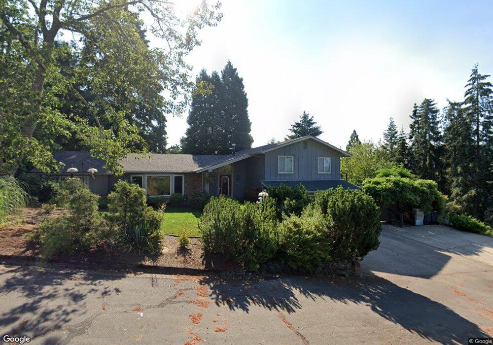
3445 Grant St Eugene, OR 97405
Crest Drive NeighborhoodEstimated Value: $726,702 - $851,000
4
Beds
4
Baths
3,182
Sq Ft
$248/Sq Ft
Est. Value
About This Home
This home is located at 3445 Grant St, Eugene, OR 97405 and is currently estimated at $789,676, approximately $248 per square foot. 3445 Grant St is a home located in Lane County with nearby schools including Adams Elementary School, Arts And Technology Academy At Jefferson, and Churchill High School.
Ownership History
Date
Name
Owned For
Owner Type
Purchase Details
Closed on
May 31, 2013
Sold by
Berney Joe C
Bought by
Engel Steven P and Tribble Mandi J
Current Estimated Value
Purchase Details
Closed on
Apr 10, 2000
Sold by
Grove William W
Bought by
Harding Linda M
Home Financials for this Owner
Home Financials are based on the most recent Mortgage that was taken out on this home.
Original Mortgage
$176,000
Interest Rate
8.26%
Purchase Details
Closed on
Oct 16, 1997
Sold by
Darcy Francis P
Bought by
Grove William W
Create a Home Valuation Report for This Property
The Home Valuation Report is an in-depth analysis detailing your home's value as well as a comparison with similar homes in the area
Home Values in the Area
Average Home Value in this Area
Purchase History
| Date | Buyer | Sale Price | Title Company |
|---|---|---|---|
| Engel Steven P | $375,000 | First American Title | |
| Harding Linda M | $226,000 | Fidelity National Title Ins | |
| Grove William W | $190,000 | Fidelity National Title Ins |
Source: Public Records
Mortgage History
| Date | Status | Borrower | Loan Amount |
|---|---|---|---|
| Previous Owner | Harding Linda M | $176,000 | |
| Closed | Harding Linda M | $25,000 |
Source: Public Records
Tax History
| Year | Tax Paid | Tax Assessment Tax Assessment Total Assessment is a certain percentage of the fair market value that is determined by local assessors to be the total taxable value of land and additions on the property. | Land | Improvement |
|---|---|---|---|---|
| 2025 | $7,915 | $406,244 | -- | -- |
| 2024 | $7,817 | $394,412 | -- | -- |
| 2023 | $7,817 | $382,925 | $0 | $0 |
| 2022 | $7,323 | $371,772 | $0 | $0 |
| 2021 | $6,878 | $360,944 | $0 | $0 |
| 2020 | $6,902 | $350,432 | $0 | $0 |
| 2019 | $6,640 | $340,226 | $0 | $0 |
| 2018 | $6,198 | $320,696 | $0 | $0 |
| 2017 | $5,777 | $320,696 | $0 | $0 |
| 2016 | $5,594 | $311,355 | $0 | $0 |
| 2015 | $5,402 | $302,286 | $0 | $0 |
| 2014 | $5,274 | $293,482 | $0 | $0 |
Source: Public Records
Map
Nearby Homes
- 2030 W 34th Ave
- 0 Mclean Blvd Unit 24671448
- 0 Mclean Blvd Unit 697374759
- 1783 Graham Dr
- 3023 Ashley Loop
- 3093 Soloman Loop
- 2850 Garfield St
- 1955 W 28th Ave
- 2673 Garfield St
- 3160 Whitten Dr
- 0 W 40th Ave Unit 3 639571582
- 2225 W 28th Ave
- 2455 W 29th Ave
- 1 Storey Blvd
- 2 Storey Blvd
- 2037 Morning View Dr
- 2650 Taylor St
- 2315 W 28th Ave
- 2323 W 28th Ave
- 4040 Southpointe Dr
- 1781 W 34th Place
- 1790 W 34th Ave
- 1780 W 34th Ave
- 1771 W 34th Place
- 3450 Grant St
- 1792 W 34th Place
- 3430 Grant St
- 1770 W 34th Ave
- 1772 W 34th Place
- 1761 W 34th Place
- 3410 Grant St
- 1915 Lorane Hwy
- 1795 Lorane Hwy
- 1820 Tigertail Rd
- 1785 W 34th Ave
- 1795 W 34th Ave
- 1762 W 34th Place
- 1830 Tigertail Rd
- 1785 Lorane Hwy
- 1751 W 34th Place
Your Personal Tour Guide
Ask me questions while you tour the home.