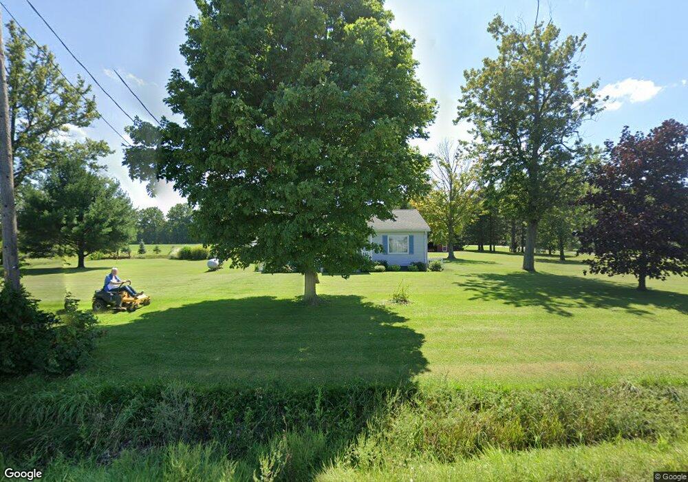
3445 State Route 20 Collins, OH 44826
Estimated Value: $177,226 - $254,000
2
Beds
1
Bath
864
Sq Ft
$247/Sq Ft
Est. Value
About This Home
This home is located at 3445 State Route 20, Collins, OH 44826 and is currently estimated at $213,557, approximately $247 per square foot. 3445 State Route 20 is a home located in Huron County with nearby schools including Western Reserve Elementary School, Western Reserve Middle School, and Western Reserve High School.
Ownership History
Date
Name
Owned For
Owner Type
Purchase Details
Closed on
Nov 13, 2000
Bought by
Keith Richard L and Keith Linda M
Current Estimated Value
Home Financials for this Owner
Home Financials are based on the most recent Mortgage that was taken out on this home.
Original Mortgage
$85,500
Outstanding Balance
$31,572
Interest Rate
7.91%
Mortgage Type
New Conventional
Estimated Equity
$181,985
Purchase Details
Closed on
Feb 3, 1993
Bought by
Bonner Robert A
Create a Home Valuation Report for This Property
The Home Valuation Report is an in-depth analysis detailing your home's value as well as a comparison with similar homes in the area
Home Values in the Area
Average Home Value in this Area
Purchase History
| Date | Buyer | Sale Price | Title Company |
|---|---|---|---|
| Keith Richard L | $90,000 | -- | |
| Bonner Robert A | -- | -- |
Source: Public Records
Mortgage History
| Date | Status | Borrower | Loan Amount |
|---|---|---|---|
| Open | Keith Richard L | $85,500 |
Source: Public Records
Tax History Compared to Growth
Tax History
| Year | Tax Paid | Tax Assessment Tax Assessment Total Assessment is a certain percentage of the fair market value that is determined by local assessors to be the total taxable value of land and additions on the property. | Land | Improvement |
|---|---|---|---|---|
| 2024 | $1,784 | $50,290 | $10,470 | $39,820 |
| 2023 | $1,784 | $36,290 | $7,400 | $28,890 |
| 2022 | $1,345 | $36,290 | $7,400 | $28,890 |
| 2021 | $1,385 | $36,290 | $7,400 | $28,890 |
| 2020 | $1,333 | $33,330 | $7,270 | $26,060 |
| 2019 | $1,327 | $33,330 | $7,270 | $26,060 |
| 2018 | $1,313 | $33,330 | $7,270 | $26,060 |
| 2017 | $1,149 | $29,600 | $7,180 | $22,420 |
| 2016 | $1,130 | $29,600 | $7,180 | $22,420 |
| 2015 | $1,119 | $29,600 | $7,180 | $22,420 |
| 2014 | $1,152 | $29,580 | $7,180 | $22,400 |
| 2013 | $1,042 | $29,400 | $7,000 | $22,400 |
Source: Public Records
Map
Nearby Homes
- 3257 Hartland Center Rd
- 3055 Hartland Center Rd
- 4718 Brushwood Rd
- 42 Stony Brook Ln
- VL W Abbott Stony Brook Ln St
- 0 W Abbott Stony Brook Ln Unit 20253918
- 13701 Andress Rd
- 6175 U S 20
- 2904 Zenobia Rd
- 31 Depot St
- 27 Deer Run Dr
- 22 Foxwood Cir
- 22 E Main St
- 5 Foxwood Cir
- 3713 Medusa Rd
- 30 S River St
- 5429 & 5431 St Rt 303
- 34 Cherdon Cir
- 6414 Tennant Rd
- 5810 U S 20 Unit 17
- 3938 Derussey Rd
- 3937 Derussey Rd
- 3371 U S 20
- 3371 State Route 20
- 3911 Derussey Rd
- 3887 Derussey Rd
- 3355 State Route 20
- 3525 State Route 20
- 4010 Derussey Rd
- 3879 Derussey Rd
- 3325 Us Hwy 20
- 4131 Derussey Rd
- 4140 Derussey Rd
- 3873 Derussey Rd
- 3586 U S 20
- 3585 State Route 20
- 3586 State Route 20
- 4162 Derussey Rd
- 3587 State Route 20
- 3587 State Route 20