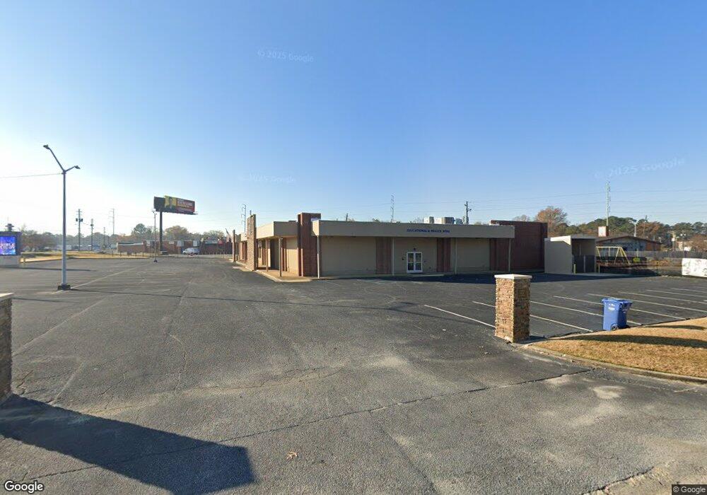
3448 N Lumpkin Rd Columbus, GA 31903
Southern Columbus NeighborhoodEstimated Value: $590,371
--
Bed
1
Bath
5,410
Sq Ft
$109/Sq Ft
Est. Value
About This Home
This home is located at 3448 N Lumpkin Rd, Columbus, GA 31903 and is currently estimated at $590,371, approximately $109 per square foot. 3448 N Lumpkin Rd is a home located in Muscogee County with nearby schools including Martin Luther King Jr. Elementary School, Baker Middle School, and Carver High School.
Ownership History
Date
Name
Owned For
Owner Type
Purchase Details
Closed on
Nov 16, 2020
Sold by
Fbc Recovery Llc
Bought by
First Baptist Church Of Columbus Georgia
Current Estimated Value
Purchase Details
Closed on
Mar 25, 2020
Sold by
Buck Properties Llc
Bought by
Fbc Recovery Llc
Purchase Details
Closed on
Feb 22, 2007
Sold by
Buck Investment Co Llc
Bought by
Buck Properties Llc
Home Financials for this Owner
Home Financials are based on the most recent Mortgage that was taken out on this home.
Original Mortgage
$450,000
Interest Rate
6.17%
Mortgage Type
Purchase Money Mortgage
Create a Home Valuation Report for This Property
The Home Valuation Report is an in-depth analysis detailing your home's value as well as a comparison with similar homes in the area
Home Values in the Area
Average Home Value in this Area
Purchase History
| Date | Buyer | Sale Price | Title Company |
|---|---|---|---|
| First Baptist Church Of Columbus Georgia | -- | -- | |
| Fbc Recovery Llc | $380,000 | -- | |
| Buck Properties Llc | -- | None Available |
Source: Public Records
Mortgage History
| Date | Status | Borrower | Loan Amount |
|---|---|---|---|
| Previous Owner | Buck Properties Llc | $450,000 |
Source: Public Records
Tax History Compared to Growth
Tax History
| Year | Tax Paid | Tax Assessment Tax Assessment Total Assessment is a certain percentage of the fair market value that is determined by local assessors to be the total taxable value of land and additions on the property. | Land | Improvement |
|---|---|---|---|---|
| 2025 | -- | $257,252 | $72,764 | $184,488 |
| 2024 | -- | $224,228 | $72,764 | $151,464 |
| 2023 | $0 | $257,252 | $72,764 | $184,488 |
| 2022 | $1,857 | $224,228 | $72,764 | $151,464 |
| 2021 | $6,206 | $152,000 | $72,764 | $79,236 |
| 2020 | $2,907 | $71,188 | $36,380 | $34,808 |
| 2019 | $2,917 | $71,188 | $36,380 | $34,808 |
| 2018 | $2,917 | $71,188 | $36,380 | $34,808 |
| 2017 | $2,926 | $71,188 | $36,380 | $34,808 |
| 2016 | $3,092 | $74,949 | $11,410 | $63,539 |
| 2015 | $3,095 | $74,949 | $11,410 | $63,539 |
| 2014 | $1,240 | $74,949 | $11,410 | $63,539 |
| 2013 | -- | $74,949 | $11,410 | $63,539 |
Source: Public Records
Map
Nearby Homes
- 3110 Victory Dr Unit 90
- 3110 Victory Dr
- 2463 Brownie St
- 920 Brooks Rd
- 929 Winston Rd
- 906 Winston Rd
- 824 Winston Rd
- 810 Winston Rd
- 2451 Brownie Ln
- 1274 Providence Ln
- 2463 Brownie Ln
- 2916 Lee St
- 716 Benning Dr
- 917 Fletcher Ave
- 2731 Lumpkin Ct
- 1025 Fletcher Ave
- 3522 Youmans St
- 2823 Lee St
- 2973 Hawthorne Dr
- 2721 Lee St
- 3217 Victory Dr
- 3390 N Lumpkin Rd
- 3390 N Lumpkin Rd Unit 1101
- 3390 N Lumpkin Rd Unit 1206
- 3125 Victory Dr
- 1245 Elliotts Ave
- 1237 Elliotts Ave
- 1236 Elliotts Ave
- 1229 Elliotts Ave
- Lot 18 Elliotts Ave
- 1253 Elliotts Ave Unit LOT18
- Lot 46 Elliotts Ave
- 1257 Elliotts Ave
- 1253 Elliotts Ave
- 1853 Elliotts Ave
- 1265 Elliotts Ave
- 1241 Elliotts Ave
- 3110 Victory Dr Unit 52
- 3110 Victory Dr Unit 21
- 3110 Victory Dr Unit 2024