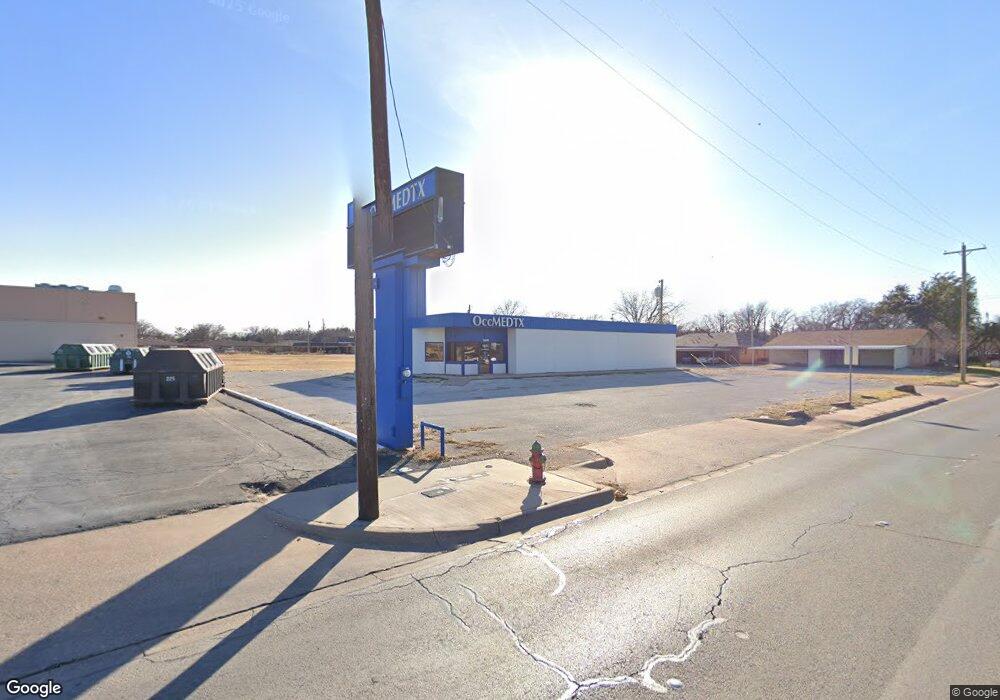
3449 N 10th St Abilene, TX 79603
Westwood Richland NeighborhoodEstimated Value: $391,313
--
Bed
4
Baths
3,047
Sq Ft
$128/Sq Ft
Est. Value
About This Home
This home is located at 3449 N 10th St, Abilene, TX 79603 and is currently priced at $391,313, approximately $128 per square foot. 3449 N 10th St is a home located in Taylor County with nearby schools including Purcell Elementary School, Mann Middle School, and Abilene High School.
Ownership History
Date
Name
Owned For
Owner Type
Purchase Details
Closed on
Feb 21, 2025
Sold by
Cpre Holdings Llc
Bought by
Sok Ilenh V
Current Estimated Value
Purchase Details
Closed on
Mar 10, 2023
Sold by
Deprang Properties Llc
Bought by
Cpre Holdings Llc Series G
Home Financials for this Owner
Home Financials are based on the most recent Mortgage that was taken out on this home.
Original Mortgage
$228,000
Interest Rate
5.25%
Mortgage Type
New Conventional
Purchase Details
Closed on
Sep 13, 2021
Sold by
Occmedtx Pllc
Bought by
Deprang Properties Llc
Purchase Details
Closed on
Nov 26, 2013
Sold by
Permian Basin Family Planning Inc
Bought by
Abilene Diagnostic Clinic Llc
Create a Home Valuation Report for This Property
The Home Valuation Report is an in-depth analysis detailing your home's value as well as a comparison with similar homes in the area
Home Values in the Area
Average Home Value in this Area
Purchase History
| Date | Buyer | Sale Price | Title Company |
|---|---|---|---|
| Sok Ilenh V | -- | None Listed On Document | |
| Cpre Holdings Llc Series G | -- | Big Country Title | |
| Deprang Properties Llc | -- | None Listed On Document | |
| Abilene Diagnostic Clinic Llc | -- | None Available |
Source: Public Records
Mortgage History
| Date | Status | Borrower | Loan Amount |
|---|---|---|---|
| Previous Owner | Cpre Holdings Llc Series G | $228,000 |
Source: Public Records
Tax History Compared to Growth
Tax History
| Year | Tax Paid | Tax Assessment Tax Assessment Total Assessment is a certain percentage of the fair market value that is determined by local assessors to be the total taxable value of land and additions on the property. | Land | Improvement |
|---|---|---|---|---|
| 2025 | $5,386 | $289,430 | $46,875 | $242,555 |
| 2023 | $5,386 | $252,000 | $46,875 | $205,125 |
| 2022 | $3,139 | $123,635 | $46,875 | $76,760 |
| 2021 | $2,994 | $111,011 | $46,875 | $64,136 |
| 2020 | $3,045 | $111,000 | $46,875 | $64,125 |
| 2019 | $4,806 | $186,000 | $46,875 | $139,125 |
| 2018 | $4,792 | $186,000 | $46,875 | $139,125 |
| 2017 | $4,648 | $187,000 | $46,875 | $140,125 |
| 2016 | $5,000 | $201,147 | $46,875 | $154,272 |
| 2015 | $4,786 | $198,737 | $46,875 | $151,862 |
| 2014 | $4,786 | $197,487 | $0 | $0 |
Source: Public Records
Map
Nearby Homes
- 3525 N 11th St
- 1301 Glenhaven Dr
- 3833 N 9th St
- 664 Glendale Dr
- 3713 Wilshire Dr
- 833 Amherst Dr
- 660 Westwood Dr
- 1449 N Willis St
- 915 Westwood Dr
- 418 Glenhaven Dr
- 1470 Beechwood Ln
- 633 Woodlawn Dr
- 1513 Minter Ln
- 1482 Briarwood St
- 1409 Westwood Dr
- 683 Westwood Dr
- 934 Burger St
- 401 Briarwood St
- 1342 Burger St
- 309 Woodlawn Dr
- 3449 A N 10th St
- 3457 N 10th St
- 985 Minter Ln
- 975 Minter Ln
- 977 Minter Ln
- 987 Minter Ln
- 965 Minter Ln
- 965 Minter Ln Unit 937
- 967 Minter Ln
- 957 Minter Ln
- 955 Minter Ln
- 3450 N 10th St
- 945 Minter Ln
- 945 Minter Ln Unit 947
- 947 Minter Ln
- 3501 N 10th St
- 1001 Minter Ln
- 935 Minter Ln
- 935 Minter Ln Unit 937
- 937 Minter Ln