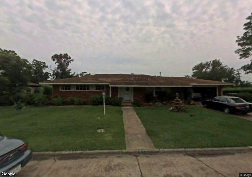
3449 Platt Ave Port Arthur, TX 77640
Estimated Value: $234,000
5
Beds
3
Baths
--
Sq Ft
0.42
Acres
About This Home
This home is located at 3449 Platt Ave, Port Arthur, TX 77640 and is currently priced at $234,000. 3449 Platt Ave is a home located in Jefferson County with nearby schools including Houston Elementary School, Abraham Lincoln Middle School, and Memorial High School.
Ownership History
Date
Name
Owned For
Owner Type
Purchase Details
Closed on
Oct 11, 2019
Sold by
Fleming Gary and Quest Funding Trust Gf 112211
Bought by
Harvey 2017 Recovery Llc
Current Estimated Value
Purchase Details
Closed on
Jul 5, 2016
Sold by
Hollins Demetrius
Bought by
Fleming Gary
Purchase Details
Closed on
Sep 18, 2015
Sold by
Vertil Cyprien and Vertil Roselyne
Bought by
Hollins Demetrius
Home Financials for this Owner
Home Financials are based on the most recent Mortgage that was taken out on this home.
Original Mortgage
$180,000
Interest Rate
3.99%
Mortgage Type
New Conventional
Purchase Details
Closed on
Nov 22, 2000
Sold by
Taylor Norma
Bought by
Vertil Cydrien and Vertil Roselyne
Create a Home Valuation Report for This Property
The Home Valuation Report is an in-depth analysis detailing your home's value as well as a comparison with similar homes in the area
Home Values in the Area
Average Home Value in this Area
Purchase History
| Date | Buyer | Sale Price | Title Company |
|---|---|---|---|
| Harvey 2017 Recovery Llc | -- | None Available | |
| Fleming Gary | $192,675 | None Available | |
| Hollins Demetrius | -- | Fort Bend Title Llc | |
| Vertil Cydrien | -- | -- |
Source: Public Records
Mortgage History
| Date | Status | Borrower | Loan Amount |
|---|---|---|---|
| Previous Owner | Hollins Demetrius | $180,000 |
Source: Public Records
Tax History Compared to Growth
Tax History
| Year | Tax Paid | Tax Assessment Tax Assessment Total Assessment is a certain percentage of the fair market value that is determined by local assessors to be the total taxable value of land and additions on the property. | Land | Improvement |
|---|---|---|---|---|
| 2022 | $10,330 | $325,258 | $13,440 | $311,818 |
| 2021 | $10,626 | $325,258 | $13,440 | $311,818 |
| 2020 | $2,632 | $79,426 | $13,440 | $65,986 |
| 2019 | $6,269 | $193,400 | $13,440 | $179,960 |
| 2018 | $6,164 | $193,400 | $13,440 | $179,960 |
| 2017 | $5,993 | $193,400 | $13,440 | $179,960 |
| 2016 | $5,665 | $193,400 | $13,440 | $179,960 |
| 2015 | $4,049 | $135,650 | $13,440 | $122,210 |
| 2014 | $4,049 | $135,650 | $13,440 | $122,210 |
Source: Public Records
Map
Nearby Homes