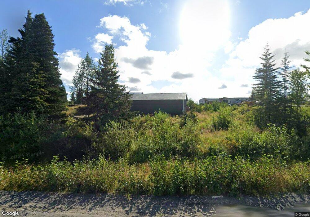
34491 N Fork Rd Anchor Point, AK 99556
Estimated Value: $249,000 - $443,676
2
Beds
1
Bath
1,144
Sq Ft
$321/Sq Ft
Est. Value
About This Home
This home is located at 34491 N Fork Rd, Anchor Point, AK 99556 and is currently estimated at $367,559, approximately $321 per square foot. 34491 N Fork Rd is a home located in Kenai Peninsula Borough with nearby schools including Chapman School and Homer High School.
Ownership History
Date
Name
Owned For
Owner Type
Purchase Details
Closed on
May 15, 2019
Sold by
Essex Joseph E and Wolfe Jessica S
Bought by
Trimark Earth Reserve Llc
Current Estimated Value
Purchase Details
Closed on
Oct 29, 2007
Sold by
Herndon Jason
Bought by
Essex Joseph E and Adame Jessica S
Home Financials for this Owner
Home Financials are based on the most recent Mortgage that was taken out on this home.
Original Mortgage
$161,367
Interest Rate
6.27%
Mortgage Type
Purchase Money Mortgage
Purchase Details
Closed on
Jan 26, 2002
Sold by
Frisch Jennifer A and Herndon Jennifer A
Bought by
Herndon Jason A
Create a Home Valuation Report for This Property
The Home Valuation Report is an in-depth analysis detailing your home's value as well as a comparison with similar homes in the area
Purchase History
| Date | Buyer | Sale Price | Title Company |
|---|---|---|---|
| Trimark Earth Reserve Llc | -- | First American Title Ins Co | |
| Essex Joseph E | -- | None Available | |
| Herndon Jason A | -- | -- |
Source: Public Records
Mortgage History
| Date | Status | Borrower | Loan Amount |
|---|---|---|---|
| Previous Owner | Essex Joseph E | $161,367 |
Source: Public Records
Tax History
| Year | Tax Paid | Tax Assessment Tax Assessment Total Assessment is a certain percentage of the fair market value that is determined by local assessors to be the total taxable value of land and additions on the property. | Land | Improvement |
|---|---|---|---|---|
| 2025 | $2,061 | $343,100 | $40,700 | $302,400 |
| 2024 | $2,061 | $199,900 | $35,400 | $164,500 |
| 2023 | $1,990 | $184,800 | $29,500 | $155,300 |
| 2022 | $1,805 | $162,800 | $19,900 | $142,900 |
| 2021 | $1,676 | $153,500 | $19,300 | $134,200 |
| 2020 | $1,499 | $134,000 | $19,300 | $114,700 |
| 2019 | $1,817 | $163,000 | $19,300 | $143,700 |
| 2018 | $1,676 | $150,300 | $19,300 | $131,000 |
| 2017 | $1,353 | $123,600 | $19,300 | $104,300 |
| 2016 | $1,307 | $119,400 | $19,300 | $100,100 |
| 2015 | $1,420 | $120,400 | $19,300 | $101,100 |
| 2014 | $1,420 | $122,000 | $19,300 | $102,700 |
Source: Public Records
Map
Nearby Homes
- 70975 Mark Ln
- 33625 Anchor Ct
- 34634 N Fork Rd
- 31885 Whiskey Gulch St
- 71776 Cape Ninilchik Ave
- 35232 N Fork Rd
- 34725 N Fork Rd
- 32775 Shorebird Ln
- 72715 Kingair Ave
- 73340 School Ave
- 34191 Chapman St
- 000 Old Sterling Hwy
- L3 Aquila Wings Rd
- L1 Aquila Wings Rd
- L7 Brow Tine Rd
- 33699 Granross St
- 31435 Rorath St
- 35625 Anchor River Air Park Ln
- 73595 School Ave
- 34405 Birch St
- 34491 North Fork Rd
- 34509 North Fork Rd
- 34509 N Fork Rd
- 34481 North Fork Rd
- 34481 North Fork Rd
- L2 N Fork Rd Mi Unit 2.2
- L2 N Fork Rd Mi
- 32770 Comic Cir
- 58417 Greenfield Rd
- [71603 Greenfield Rd
- L6 Greenfield Rd
- L7 Greenfield Rd
- L15 Greenfield Rd
- 32725 Dads Cir
- 32725 Dad's Cir
- L1 Cosmic Cir
- 70915 Caranna Ave
- 71066 Greenfield Rd
- 34510 N Fork Rd
- L14 Spinner Ct
Your Personal Tour Guide
Ask me questions while you tour the home.