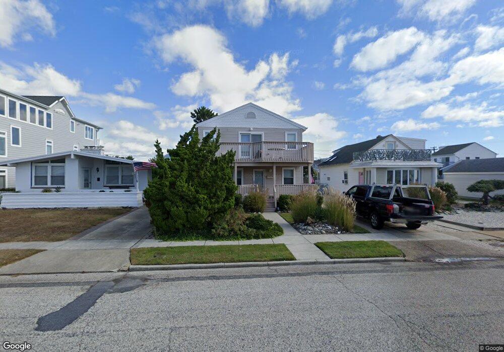
345 15th St S Brigantine, NJ 08203
Estimated Value: $1,058,641 - $1,649,000
--
Bed
--
Bath
1,868
Sq Ft
$710/Sq Ft
Est. Value
About This Home
This home is located at 345 15th St S, Brigantine, NJ 08203 and is currently estimated at $1,327,160, approximately $710 per square foot. 345 15th St S is a home located in Atlantic County with nearby schools including Brigantine Elementary School and Brigantine Community School.
Ownership History
Date
Name
Owned For
Owner Type
Purchase Details
Closed on
Mar 17, 2004
Sold by
Lepore Adele M
Bought by
Deflaminis John and Baxter Alice P
Current Estimated Value
Home Financials for this Owner
Home Financials are based on the most recent Mortgage that was taken out on this home.
Original Mortgage
$479,900
Outstanding Balance
$223,970
Interest Rate
5.65%
Mortgage Type
Purchase Money Mortgage
Estimated Equity
$1,103,190
Purchase Details
Closed on
Sep 14, 2001
Sold by
Lepore Frank A
Bought by
Lepore Adele M
Create a Home Valuation Report for This Property
The Home Valuation Report is an in-depth analysis detailing your home's value as well as a comparison with similar homes in the area
Home Values in the Area
Average Home Value in this Area
Purchase History
| Date | Buyer | Sale Price | Title Company |
|---|---|---|---|
| Deflaminis John | $599,900 | Congress Title Corp | |
| Lepore Adele M | -- | -- |
Source: Public Records
Mortgage History
| Date | Status | Borrower | Loan Amount |
|---|---|---|---|
| Open | Deflaminis John | $479,900 |
Source: Public Records
Tax History Compared to Growth
Tax History
| Year | Tax Paid | Tax Assessment Tax Assessment Total Assessment is a certain percentage of the fair market value that is determined by local assessors to be the total taxable value of land and additions on the property. | Land | Improvement |
|---|---|---|---|---|
| 2025 | $10,081 | $536,200 | $395,000 | $141,200 |
| 2024 | $10,081 | $536,200 | $395,000 | $141,200 |
| 2023 | $9,314 | $536,200 | $395,000 | $141,200 |
| 2022 | $9,314 | $536,200 | $395,000 | $141,200 |
| 2021 | $9,148 | $536,200 | $395,000 | $141,200 |
| 2020 | $9,051 | $536,200 | $395,000 | $141,200 |
| 2019 | $9,131 | $536,200 | $395,000 | $141,200 |
| 2018 | $9,314 | $536,200 | $395,000 | $141,200 |
| 2017 | $9,464 | $536,200 | $395,000 | $141,200 |
| 2016 | $9,459 | $536,200 | $395,000 | $141,200 |
| 2015 | $9,507 | $536,200 | $395,000 | $141,200 |
| 2014 | $9,153 | $536,200 | $395,000 | $141,200 |
Source: Public Records
Map
Nearby Homes
- 312 13th St S
- 1600 W Brigantine Ave
- 250 11th St S
- 1000 W Brigantine Ave Unit 4
- 301 20th St S
- 1904 W Brigantine Ave
- 1306 Bayshore Ave
- 900 W Brigantine Ave
- 209 20th St S
- 800 W Brigantine Ave Unit 217
- 713 W Brigantine Ave
- 222 8th St S
- 223 8th St S
- 150 9th St S
- 201 23rd St S
- 321 6th St S Unit 2
- 321 6th St S Unit 14
- 321 6th St S Unit 1
- 321 6th St S Unit 16
- 321 6th St S Unit 8