345 Ankonian Dr Unit 5 Alpharetta, GA 30022
Estimated Value: $1,072,000 - $1,332,000
6
Beds
5
Baths
3,603
Sq Ft
$344/Sq Ft
Est. Value
About This Home
This home is located at 345 Ankonian Dr Unit 5, Alpharetta, GA 30022 and is currently estimated at $1,240,765, approximately $344 per square foot. 345 Ankonian Dr Unit 5 is a home located in Fulton County with nearby schools including Dolvin Elementary School, Autrey Mill Middle School, and Johns Creek High School.
Ownership History
Date
Name
Owned For
Owner Type
Purchase Details
Closed on
Aug 9, 2013
Sold by
Roberts Michael Martin
Bought by
Stouffer Eric B and Stouffer Carrie J
Current Estimated Value
Home Financials for this Owner
Home Financials are based on the most recent Mortgage that was taken out on this home.
Original Mortgage
$225,000
Outstanding Balance
$167,924
Interest Rate
4.48%
Mortgage Type
New Conventional
Estimated Equity
$1,072,841
Purchase Details
Closed on
Aug 31, 1995
Sold by
Royer Edna E
Bought by
Harding Vivian A
Create a Home Valuation Report for This Property
The Home Valuation Report is an in-depth analysis detailing your home's value as well as a comparison with similar homes in the area
Home Values in the Area
Average Home Value in this Area
Purchase History
| Date | Buyer | Sale Price | Title Company |
|---|---|---|---|
| Stouffer Eric B | $575,000 | -- | |
| Harding Vivian A | $275,000 | -- |
Source: Public Records
Mortgage History
| Date | Status | Borrower | Loan Amount |
|---|---|---|---|
| Open | Stouffer Eric B | $225,000 |
Source: Public Records
Tax History Compared to Growth
Tax History
| Year | Tax Paid | Tax Assessment Tax Assessment Total Assessment is a certain percentage of the fair market value that is determined by local assessors to be the total taxable value of land and additions on the property. | Land | Improvement |
|---|---|---|---|---|
| 2025 | $6,152 | $528,400 | $133,640 | $394,760 |
| 2023 | $11,955 | $423,560 | $119,440 | $304,120 |
| 2022 | $5,956 | $423,560 | $119,440 | $304,120 |
| 2021 | $5,877 | $339,040 | $53,440 | $285,600 |
| 2020 | $5,907 | $303,080 | $57,360 | $245,720 |
| 2019 | $723 | $267,640 | $56,360 | $211,280 |
| 2018 | $5,735 | $188,600 | $33,080 | $155,520 |
| 2017 | $5,758 | $181,320 | $31,800 | $149,520 |
| 2016 | $5,866 | $203,120 | $31,800 | $171,320 |
| 2015 | $4,739 | $152,160 | $31,800 | $120,360 |
| 2014 | $5,366 | $152,160 | $31,800 | $120,360 |
Source: Public Records
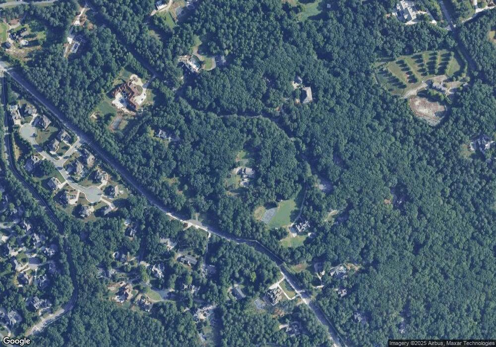
Map
Nearby Homes
- 170 Autry Trail
- 510 Winborne Place Unit VI
- 10325 Oxford Mill Cir Unit 1
- 515 Avian Ct
- 720 Buttercup Trace
- 750 Gates Ln
- 513 Camden Hall Dr
- 455 Oak Laurel Ct
- 9950 Farmbrook Ln
- 350 Waters Bend Way
- 10570 Bridgemor Dr
- 130 Colony Run
- 11070 Pinewalk Forest Cir
- 10415 Plantation Bridge Dr
- 230 Pinebridge Ct
- 10515 Colony Glen Dr Unit 2
- 125 Oak Bridge Ct Unit 2
- 10265 Minion Ct Unit 27
- 345 Ankonian Dr
- 355 Ankonian Dr
- 340 Ankonian Dr Unit 1
- 10185 Buice Rd
- 330 Ankonian Dr
- 0 Ankonian Dr
- 335 Ankonian Dr
- 360 Ankonian Dr
- 10090 Buice Rd
- 10094 Buice Rd
- 10100 Buice Rd
- 310 Ankonian Dr
- 10130 Buice Rd
- 10125 Buice Rd
- 10120 Buice Rd
- 10302 Papillon Trace
- 10300 Papillon Trace
- 10301 Papillon Trace
- 10300 Autry Place
- 0 Papillon Trace Unit 3210009