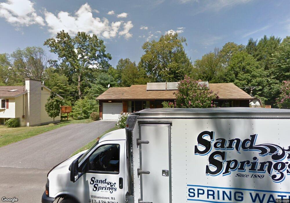
345 Barbour St North Adams, MA 01247
Estimated Value: $262,000 - $281,430
3
Beds
1
Bath
1,540
Sq Ft
$176/Sq Ft
Est. Value
About This Home
This home is located at 345 Barbour St, North Adams, MA 01247 and is currently estimated at $270,608, approximately $175 per square foot. 345 Barbour St is a home located in Berkshire County with nearby schools including Greylock Elementary School, Drury High School, and Pine Cobble School.
Ownership History
Date
Name
Owned For
Owner Type
Purchase Details
Closed on
Jan 4, 2024
Sold by
Garner Eric
Bought by
Garner Amy
Current Estimated Value
Purchase Details
Closed on
Jun 15, 2022
Sold by
Garner Russell and Garner Gerald
Bought by
Garner Eric
Purchase Details
Closed on
May 30, 2006
Sold by
Garner William G and Garner Shirley A
Bought by
Garner Russell and Garner Scott
Create a Home Valuation Report for This Property
The Home Valuation Report is an in-depth analysis detailing your home's value as well as a comparison with similar homes in the area
Home Values in the Area
Average Home Value in this Area
Purchase History
| Date | Buyer | Sale Price | Title Company |
|---|---|---|---|
| Garner Amy | -- | None Available | |
| Garner Amy | -- | None Available | |
| Garner Eric | -- | None Available | |
| Garner Eric | -- | None Available | |
| Garner Russell | -- | -- | |
| Garner Russell | -- | -- |
Source: Public Records
Mortgage History
| Date | Status | Borrower | Loan Amount |
|---|---|---|---|
| Previous Owner | Garner Russell | $50,000 | |
| Previous Owner | Garner Russell | $50,000 |
Source: Public Records
Tax History Compared to Growth
Tax History
| Year | Tax Paid | Tax Assessment Tax Assessment Total Assessment is a certain percentage of the fair market value that is determined by local assessors to be the total taxable value of land and additions on the property. | Land | Improvement |
|---|---|---|---|---|
| 2025 | $4,590 | $274,700 | $47,700 | $227,000 |
| 2024 | $4,972 | $290,100 | $43,700 | $246,400 |
| 2023 | $4,817 | $272,600 | $43,700 | $228,900 |
| 2022 | $4,343 | $234,400 | $43,700 | $190,700 |
| 2021 | $4,040 | $217,100 | $40,500 | $176,600 |
| 2020 | $3,897 | $209,300 | $40,200 | $169,100 |
| 2019 | $3,660 | $191,500 | $37,100 | $154,400 |
| 2018 | $3,500 | $190,400 | $39,000 | $151,400 |
| 2017 | $3,333 | $188,600 | $38,600 | $150,000 |
| 2016 | $3,226 | $185,500 | $38,600 | $146,900 |
| 2015 | $3,126 | $187,300 | $38,600 | $148,700 |
Source: Public Records
Map
Nearby Homes
- 355 Barbour St
- 363 Barbour St
- 380 Barbour St
- 368 Barbour St
- 400 Barbour St
- 414 Barbour St
- 426 Barbour St
- 254 Protection Ave
- 435 Barbour St
- 434 Barbour St
- 156 Harding Ave
- 252 Protection Ave
- 274 Protection Ave
- 440 Barbour St
- 152 Harding Ave
- 144 Harding Ave
- 257 Protection Ave
- 271 Protection Ave
- 454 Barbour St
- 131 Woodlawn Ave