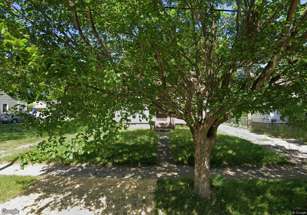
345 Bede St Flint, MI 48507
Circle Drive NeighborhoodEstimated Value: $69,344 - $81,000
3
Beds
1
Bath
1,130
Sq Ft
$68/Sq Ft
Est. Value
About This Home
This home is located at 345 Bede St, Flint, MI 48507 and is currently estimated at $77,086, approximately $68 per square foot. 345 Bede St is a home located in Genesee County with nearby schools including Freeman Elementary School, Flint Southwestern Classical Academy, and International Academy of Flint (K-12).
Ownership History
Date
Name
Owned For
Owner Type
Purchase Details
Closed on
Nov 1, 2023
Sold by
Tran Johnny Kim
Bought by
Nguyen Chan Huy
Current Estimated Value
Purchase Details
Closed on
Mar 31, 2009
Sold by
Secretary Of Housing & Urban Development
Bought by
Tran Johnny K
Purchase Details
Closed on
Dec 24, 2007
Sold by
Wells Fargo Bank Na
Bought by
Hud
Purchase Details
Closed on
Oct 5, 2007
Sold by
Stengel Donald A
Bought by
Wells Fargo Bank Na
Purchase Details
Closed on
Apr 8, 2002
Sold by
Monreal Helen and Crumrin Betty J
Bought by
Stengel Donald A
Create a Home Valuation Report for This Property
The Home Valuation Report is an in-depth analysis detailing your home's value as well as a comparison with similar homes in the area
Home Values in the Area
Average Home Value in this Area
Purchase History
| Date | Buyer | Sale Price | Title Company |
|---|---|---|---|
| Nguyen Chan Huy | $15,000 | None Listed On Document | |
| Tran Johnny K | $10,000 | None Available | |
| Hud | -- | None Available | |
| Wells Fargo Bank Na | $68,840 | None Available | |
| Stengel Donald A | $63,500 | Metropolitan Title Company |
Source: Public Records
Tax History
| Year | Tax Paid | Tax Assessment Tax Assessment Total Assessment is a certain percentage of the fair market value that is determined by local assessors to be the total taxable value of land and additions on the property. | Land | Improvement |
|---|---|---|---|---|
| 2025 | $1,995 | $24,300 | $0 | $0 |
| 2024 | $1,829 | $24,200 | $0 | $0 |
| 2023 | $1,061 | $18,700 | $0 | $0 |
| 2022 | $0 | $15,000 | $0 | $0 |
| 2021 | $1,076 | $14,600 | $0 | $0 |
| 2020 | $989 | $13,100 | $0 | $0 |
| 2019 | $966 | $10,800 | $0 | $0 |
| 2018 | $975 | $10,800 | $0 | $0 |
| 2017 | $1,000 | $0 | $0 | $0 |
| 2016 | $993 | $0 | $0 | $0 |
| 2015 | -- | $0 | $0 | $0 |
| 2014 | -- | $0 | $0 | $0 |
| 2012 | -- | $15,200 | $0 | $0 |
Source: Public Records
Map
Nearby Homes
- 338 Browning Ave
- 4526 Milton Dr
- 4205 Red Arrow Rd
- 4127 Custer Ave
- 326 Burroughs Ave
- 416 Burroughs Ave
- 530 McKeighan Ave
- 352 Buckingham Ave
- 361 Buckingham Ave
- 1483 Carman St
- 617 McKeighan Ave
- 3442 Griffith Ct
- 1453 Carman St
- 621 Lochhead Ave
- 1450 Carman St
- 621 Burroughs Ave
- 1388 Carman St
- 802 McKeighan Ave
- 1409 James St
- 630 Buckingham Ave
Your Personal Tour Guide
Ask me questions while you tour the home.