345 Burnt Hill Rd Hebron, CT 06248
Estimated Value: $243,000 - $398,000
3
Beds
1
Bath
1,008
Sq Ft
$312/Sq Ft
Est. Value
About This Home
This home is located at 345 Burnt Hill Rd, Hebron, CT 06248 and is currently estimated at $314,473, approximately $311 per square foot. 345 Burnt Hill Rd is a home located in Tolland County with nearby schools including Gilead Hill School, Hebron Elementary School, and RHAM Middle School.
Create a Home Valuation Report for This Property
The Home Valuation Report is an in-depth analysis detailing your home's value as well as a comparison with similar homes in the area
Home Values in the Area
Average Home Value in this Area
Tax History Compared to Growth
Tax History
| Year | Tax Paid | Tax Assessment Tax Assessment Total Assessment is a certain percentage of the fair market value that is determined by local assessors to be the total taxable value of land and additions on the property. | Land | Improvement |
|---|---|---|---|---|
| 2025 | $4,914 | $133,350 | $52,780 | $80,570 |
| 2024 | $4,601 | $133,350 | $52,780 | $80,570 |
| 2023 | $4,426 | $133,350 | $52,780 | $80,570 |
| 2022 | $4,227 | $133,350 | $52,780 | $80,570 |
| 2021 | $4,370 | $120,290 | $52,750 | $67,540 |
| 2020 | $4,370 | $120,290 | $52,750 | $67,540 |
| 2019 | $4,457 | $120,290 | $52,750 | $67,540 |
| 2018 | $4,504 | $120,290 | $52,750 | $67,540 |
| 2017 | $4,451 | $120,290 | $52,750 | $67,540 |
| 2016 | $4,800 | $134,680 | $82,390 | $52,290 |
| 2015 | $4,848 | $134,680 | $82,390 | $52,290 |
| 2014 | $4,815 | $134,680 | $82,390 | $52,290 |
Source: Public Records
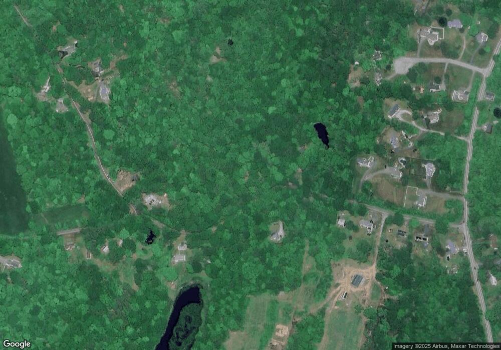
Map
Nearby Homes
- 35 Basket Shop Rd
- 239 Lake Rd
- 249 Wall St
- 74 Erdoni Rd
- 222 Gilead St
- 64 Loveland Rd
- 65 Wellswood Rd
- 0 Wells Wood Rd Unit 24118855
- 43 Route 87
- 80 Wellswood Rd Unit 9
- 78 Hennequin Rd
- 49 Millstream Rd
- 1 Church St
- 2 Church St
- 10 Lakeview Park
- 00 Zola Rd
- 14 Jeremy Way Unit 14
- 127 Route 87
- 559 East St
- 0 Hunt Rd
- 355 Burnt Hill Rd
- 350 Burnt Hill Rd
- 317 Burnt Hill Rd
- 369 Burnt Hill Rd
- 364 Burnt Hill Rd
- 567 Wall St
- 328 Burnt Hill Rd
- 370 Burnt Hill Rd
- 8 Cone Rd
- 21 Hayfield Ln
- 371 Burnt Hill Rd
- 380 Burnt Hill Rd
- 22 Hayfield Ln
- 557 Wall St
- 310 Burnt Hill Rd
- 30 Cone Rd
- 555 Wall St
- 386 Burnt Hill Rd
- 569 Wall St
- 571 Wall St