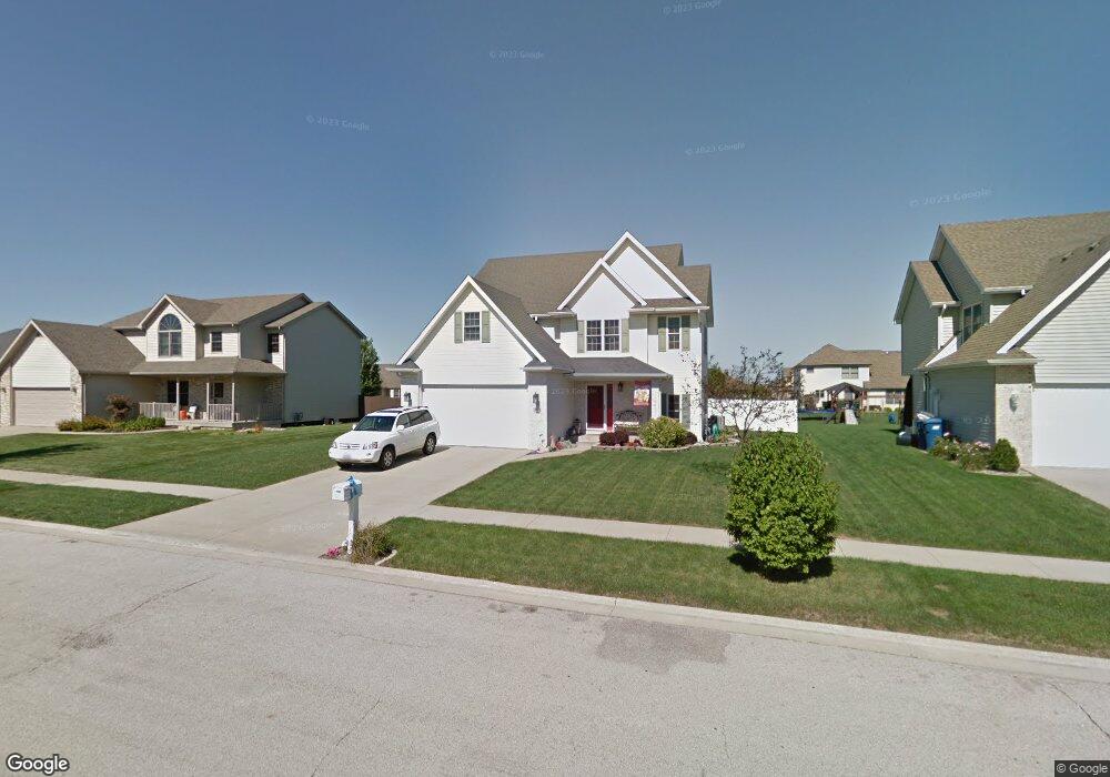
345 Centerpoint Dr S Bourbonnais, IL 60914
Estimated Value: $351,000 - $404,054
Studio
--
Bath
--
Sq Ft
10,019
Sq Ft Lot
About This Home
This home is located at 345 Centerpoint Dr S, Bourbonnais, IL 60914 and is currently estimated at $369,014. 345 Centerpoint Dr S is a home located in Kankakee County with nearby schools including Noel Levasseur Elementary School, Liberty Intermediate School, and Bourbonnais Upper Grade Center.
Ownership History
Date
Name
Owned For
Owner Type
Purchase Details
Closed on
Jul 7, 2025
Sold by
Kadow James L and Kadow Laurie L
Bought by
James L Kadow And Laurie L Kadow Revocable Tr and Kadow
Current Estimated Value
Purchase Details
Closed on
Jul 6, 2025
Sold by
Kadow James L and Revocab Laurie
Bought by
Kadow James L and Kadow Laurie L
Create a Home Valuation Report for This Property
The Home Valuation Report is an in-depth analysis detailing your home's value as well as a comparison with similar homes in the area
Home Values in the Area
Average Home Value in this Area
Purchase History
| Date | Buyer | Sale Price | Title Company |
|---|---|---|---|
| James L Kadow And Laurie L Kadow Revocable Tr | -- | None Listed On Document | |
| Kadow James L | -- | None Listed On Document |
Source: Public Records
Tax History
| Year | Tax Paid | Tax Assessment Tax Assessment Total Assessment is a certain percentage of the fair market value that is determined by local assessors to be the total taxable value of land and additions on the property. | Land | Improvement |
|---|---|---|---|---|
| 2024 | $6,753 | $92,539 | $12,030 | $80,509 |
| 2023 | $5,965 | $83,513 | $11,139 | $72,374 |
| 2022 | $5,583 | $76,131 | $10,736 | $65,395 |
| 2021 | $5,365 | $73,202 | $10,500 | $62,702 |
| 2020 | $5,299 | $71,243 | $10,219 | $61,024 |
| 2019 | $5,171 | $69,168 | $9,921 | $59,247 |
| 2018 | $4,944 | $66,445 | $9,774 | $56,671 |
| 2017 | $4,802 | $64,493 | $9,536 | $54,957 |
| 2016 | $4,658 | $63,004 | $9,395 | $53,609 |
| 2015 | $4,618 | $61,901 | $9,302 | $52,599 |
| 2014 | $4,825 | $66,388 | $9,302 | $57,086 |
| 2013 | -- | $64,940 | $9,302 | $55,638 |
Source: Public Records
Map
Nearby Homes
- 1582 Mid Court Dr
- 521 Highpoint Cir N
- 172 Anita Dr
- 220 Kathy Dr
- 1356 Eagle Bluff Dr
- 22 Emery Dr
- 1313 Eagle Bluff Dr
- 1230 Eagle Bluff Dr
- 9 Hilltop Dr
- 605 Chase Ct
- 1533 Stefanie Ln
- 1565 Stefanie Ln
- 471 Spring Park Loop
- 501 Spring Park Loop
- 490 Meadows Rd N
- 859 Pheasant Run
- 5659 N 1000 West Rd
- 375 Meadows Rd N
- 1 Saint Francis Dr
- 30 Saint Pauls Dr
- 355 Centerpoint Dr S
- 335 Centerpoint Dr S
- 325 Center Point Dr S
- 365 Centerpoint Dr S
- 325 Centerpoint Dr S
- 340 Centerpoint Dr N
- 360 Centerpoint Dr N
- 330 Centerpoint Dr N
- 350 Centerpoint Dr S
- 350 Center Point Dr S
- 315 Centerpoint Dr S
- 375 Centerpoint Dr S
- 320 Centerpoint Dr N
- 320 Centerpoint Dr S
- 385 Centerpoint Dr S
- 366 Centerpoint Dr S
- 305 Centerpoint Dr S
- 355 Center Point Dr N
- 310 Centerpoint Dr N
- 355 Centerpoint Dr N
Your Personal Tour Guide
Ask me questions while you tour the home.