345 Channel View Unit 101 Warwick, RI 02889
Warwick Neck NeighborhoodEstimated Value: $743,000 - $787,627
3
Beds
4
Baths
2,450
Sq Ft
$313/Sq Ft
Est. Value
About This Home
This home is located at 345 Channel View Unit 101, Warwick, RI 02889 and is currently estimated at $766,407, approximately $312 per square foot. 345 Channel View Unit 101 is a home located in Kent County with nearby schools including Saint Kevin School and Bishop Hendricken High School.
Ownership History
Date
Name
Owned For
Owner Type
Purchase Details
Closed on
Dec 30, 2011
Sold by
Ferland Corp
Bought by
Johnson Steven E and Johnson Anne M
Current Estimated Value
Purchase Details
Closed on
Jun 4, 2004
Sold by
Radican Robert E and Radican Theresa F
Bought by
Ferland Corp
Purchase Details
Closed on
Nov 26, 1997
Sold by
Buster Carolyn
Bought by
Radican Robert E and Radican Theresa
Purchase Details
Closed on
Jun 13, 1996
Sold by
Nathanson Charles and Nathanson Adelaide
Bought by
Buster Carolyn
Home Financials for this Owner
Home Financials are based on the most recent Mortgage that was taken out on this home.
Original Mortgage
$176,250
Interest Rate
7.97%
Mortgage Type
Purchase Money Mortgage
Create a Home Valuation Report for This Property
The Home Valuation Report is an in-depth analysis detailing your home's value as well as a comparison with similar homes in the area
Home Values in the Area
Average Home Value in this Area
Purchase History
| Date | Buyer | Sale Price | Title Company |
|---|---|---|---|
| Johnson Steven E | $400,000 | -- | |
| Ferland Corp | $490,000 | -- | |
| Radican Robert E | $250,000 | -- | |
| Buster Carolyn | $235,000 | -- |
Source: Public Records
Mortgage History
| Date | Status | Borrower | Loan Amount |
|---|---|---|---|
| Open | Buster Carolyn | $300,000 | |
| Previous Owner | Buster Carolyn | $176,250 |
Source: Public Records
Tax History
| Year | Tax Paid | Tax Assessment Tax Assessment Total Assessment is a certain percentage of the fair market value that is determined by local assessors to be the total taxable value of land and additions on the property. | Land | Improvement |
|---|---|---|---|---|
| 2025 | $9,878 | $777,800 | $0 | $777,800 |
| 2024 | $10,537 | $728,200 | $0 | $728,200 |
| 2023 | $10,333 | $728,200 | $0 | $728,200 |
| 2022 | $9,258 | $494,300 | $0 | $494,300 |
| 2021 | $9,258 | $494,300 | $0 | $494,300 |
| 2020 | $9,258 | $494,300 | $0 | $494,300 |
| 2019 | $9,258 | $494,300 | $0 | $494,300 |
| 2018 | $8,763 | $421,300 | $0 | $421,300 |
| 2017 | $8,527 | $421,300 | $0 | $421,300 |
| 2016 | $8,527 | $421,300 | $0 | $421,300 |
| 2015 | $7,489 | $360,900 | $0 | $360,900 |
| 2014 | $7,240 | $360,900 | $0 | $360,900 |
| 2013 | $7,142 | $360,900 | $0 | $360,900 |
Source: Public Records
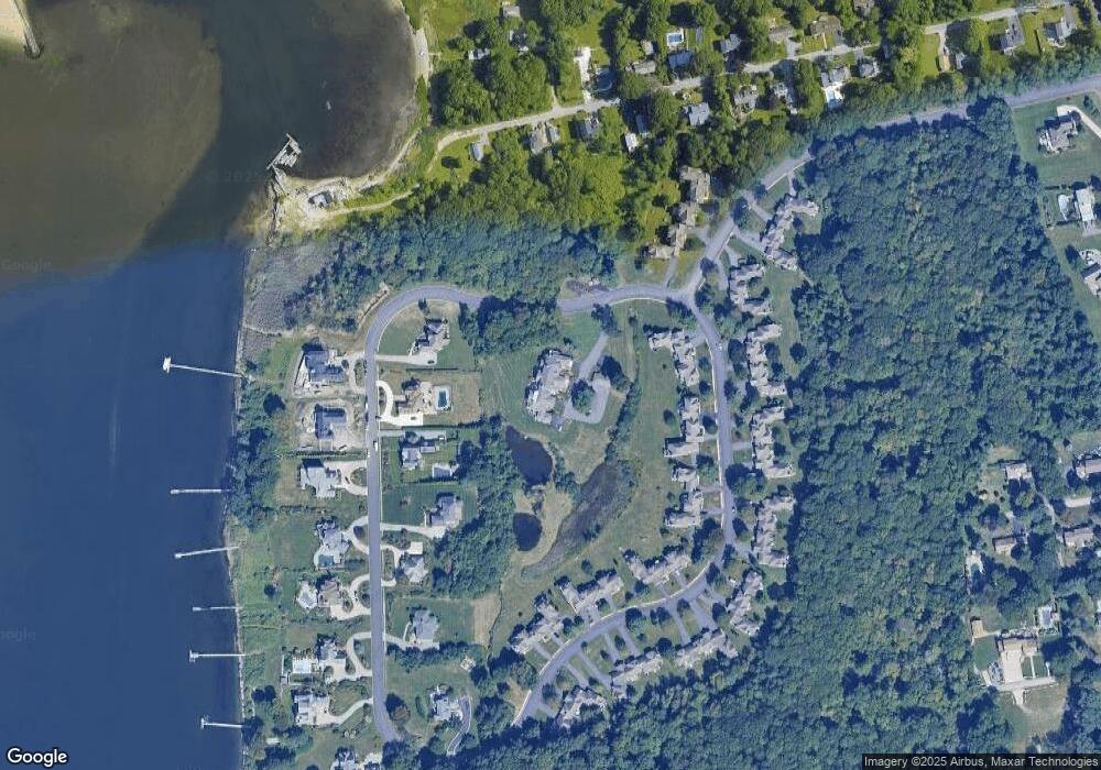
Map
Nearby Homes
- 90 Huron St
- 79 Suburban Pkwy
- 215 Rocky Point Ave
- 52 Uncas St
- 357 Pequot Ave
- 83 Ottawa Ave
- 30 White Rock Rd
- 170 Medford St
- 585 Meadow View Ave
- 107 Coburn St
- 66 Medford St
- 76 Medford St
- 357 Warwick Neck Ave
- 0 Meadow View Ave
- 43 Beaver Ave
- 0 Sea View Dr
- 320 Palmer Ave
- 75 Northup St
- 299 Palmer Ave
- 188 Wood St
- 345 Channel View Unit 103
- 345 Channel View Unit 104
- 345 Channel View Unit 102
- 345 Channel View Unit 105
- 345 Channel View Unit 5
- 345 Channel View Unit A
- 345 Channel View
- 345 Channel View Unit 104
- 345 Channel View Unit 101
- 372 Channel Unit 103
- 285 Channel View
- 285 Channelview Dr
- 271 Channel View
- 19 Channel View Unit 3
- 19 Channel View Unit 2
- 19 Channel View Unit 1
- 1601 Channel Unit C1A
- 403 Channel Unit C2
- 1603 Channel Unit A4
- 501 Channel Unit A4
Your Personal Tour Guide
Ask me questions while you tour the home.