345 Circle Dr Moberly, MO 65270
Estimated Value: $396,000 - $560,719
3
Beds
3
Baths
4,857
Sq Ft
$98/Sq Ft
Est. Value
About This Home
This home is located at 345 Circle Dr, Moberly, MO 65270 and is currently estimated at $478,360, approximately $98 per square foot. 345 Circle Dr is a home located in Randolph County with nearby schools including Moberly Senior High School and St. Pius X. Catholic School.
Ownership History
Date
Name
Owned For
Owner Type
Purchase Details
Closed on
Oct 12, 2006
Sold by
Riley Rebecca Bert
Bought by
The Rebecca Bert Riley Revocable Living
Current Estimated Value
Home Financials for this Owner
Home Financials are based on the most recent Mortgage that was taken out on this home.
Original Mortgage
$498,000
Outstanding Balance
$296,344
Interest Rate
6.41%
Mortgage Type
Purchase Money Mortgage
Estimated Equity
$182,016
Create a Home Valuation Report for This Property
The Home Valuation Report is an in-depth analysis detailing your home's value as well as a comparison with similar homes in the area
Home Values in the Area
Average Home Value in this Area
Purchase History
| Date | Buyer | Sale Price | Title Company |
|---|---|---|---|
| The Rebecca Bert Riley Revocable Living | -- | -- | |
| Rebecca Bert Riley Revocable Living Trus | -- | -- |
Source: Public Records
Mortgage History
| Date | Status | Borrower | Loan Amount |
|---|---|---|---|
| Open | Rebecca Bert Riley Revocable Living Trus | $498,000 | |
| Closed | The Rebecca Bert Riley Revocable Living | $498,000 |
Source: Public Records
Tax History Compared to Growth
Tax History
| Year | Tax Paid | Tax Assessment Tax Assessment Total Assessment is a certain percentage of the fair market value that is determined by local assessors to be the total taxable value of land and additions on the property. | Land | Improvement |
|---|---|---|---|---|
| 2025 | $4,747 | $70,821 | $6,550 | $64,271 |
| 2024 | $4,747 | $65,190 | $5,700 | $59,490 |
| 2023 | $4,820 | $65,190 | $5,700 | $59,490 |
| 2022 | $4,551 | $63,240 | $5,700 | $57,540 |
| 2021 | $4,551 | $63,240 | $5,700 | $57,540 |
| 2020 | $4,551 | $63,240 | $5,700 | $57,540 |
| 2019 | $4,541 | $63,240 | $5,700 | $57,540 |
| 2018 | $4,527 | $63,240 | $5,700 | $57,540 |
| 2017 | $4,518 | $63,240 | $0 | $0 |
| 2016 | $4,325 | $60,880 | $0 | $0 |
| 2014 | -- | $57,550 | $0 | $0 |
| 2013 | -- | $57,550 | $0 | $0 |
| 2012 | -- | $57,490 | $0 | $0 |
Source: Public Records
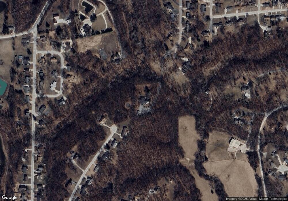
Map
Nearby Homes
- 424 Greenbrier Rd
- 641 Park Ave
- 1204 Fisk Ave
- 4 Fair Oaks
- 817 Gilman St
- 1227 Conestoga Trace
- 1377 Conestoga Trace
- 708 Gilman St
- 816 W Reed St
- 1201 Bond St
- 808 W Reed St
- 632 W Logan St
- 1541 Myra St
- 713 Homestead Dr
- 710 W Rollins St
- 625 Fisk Ave
- 1377 Conestoga Trail
- LOT 2 County Rd
- 608 Gilman St
- 407 Epperson St
- 606 Brierwood Dr
- 605 Brierwood Dr
- 614 Brierwood Dr
- 1520 Fisk Ave
- 339 Circle Dr
- 620 Brierwood Dr
- 342 Circle Dr
- 424 Corinth Dr
- 325 Circle Dr
- 410 Corinth Dr
- 1432 Corinth Dr
- 624 Brierwood Dr
- 319 Circle Dr
- 324 Circle Dr
- 645 Brierwood Dr
- 1346 Woody Ave
- 1540 Fisk Ave
- 425 Corinth Dr
- 421 Corinth Dr
- 700 Brierwood Dr