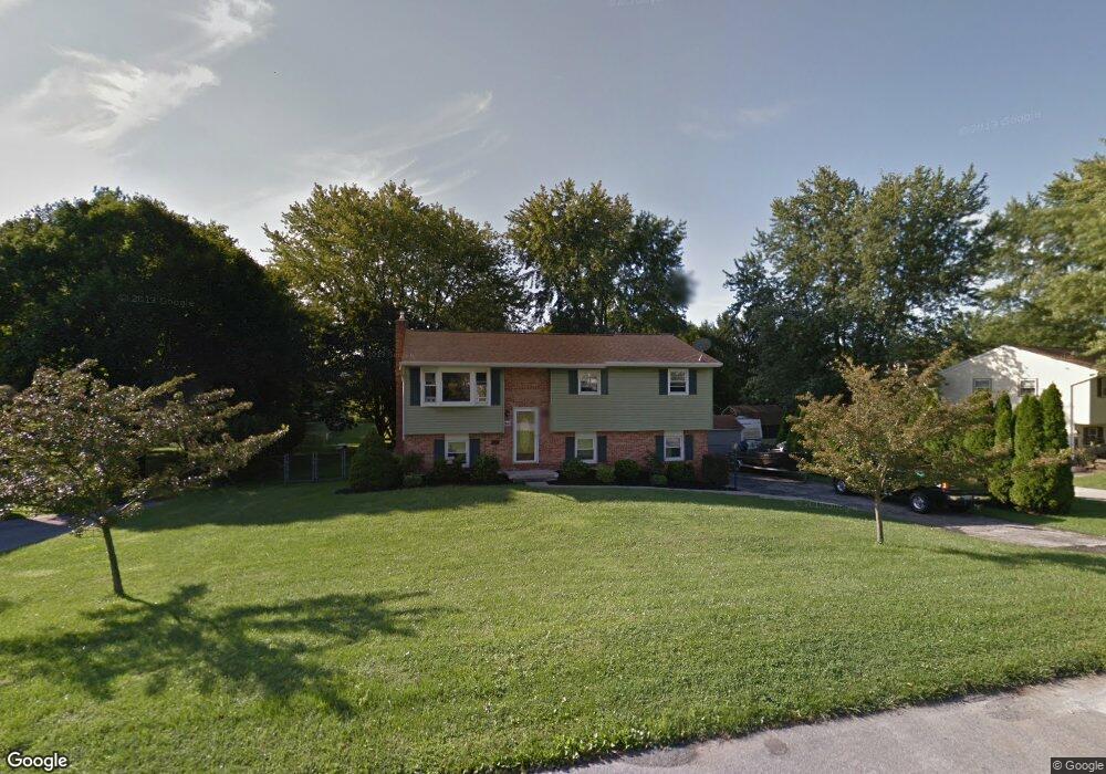
345 Dorwart Cir Etters, PA 17319
Estimated Value: $277,267 - $321,000
3
Beds
1
Bath
1,534
Sq Ft
$194/Sq Ft
Est. Value
About This Home
This home is located at 345 Dorwart Cir, Etters, PA 17319 and is currently estimated at $297,567, approximately $193 per square foot. 345 Dorwart Cir is a home located in York County with nearby schools including Fishing Creek Elementary School, Crossroads Middle School, and Red Land Senior High School.
Ownership History
Date
Name
Owned For
Owner Type
Purchase Details
Closed on
Dec 7, 2001
Sold by
Gabriel Stephen J and Gabriel Linda L
Bought by
Smith Matthew J and Smith April L
Current Estimated Value
Home Financials for this Owner
Home Financials are based on the most recent Mortgage that was taken out on this home.
Original Mortgage
$113,525
Outstanding Balance
$44,689
Interest Rate
6.67%
Estimated Equity
$252,878
Purchase Details
Closed on
Oct 15, 1996
Bought by
Nelson Carroll L and Nelson Fatima C
Create a Home Valuation Report for This Property
The Home Valuation Report is an in-depth analysis detailing your home's value as well as a comparison with similar homes in the area
Home Values in the Area
Average Home Value in this Area
Purchase History
| Date | Buyer | Sale Price | Title Company |
|---|---|---|---|
| Smith Matthew J | $119,500 | -- | |
| Nelson Carroll L | $107,500 | -- |
Source: Public Records
Mortgage History
| Date | Status | Borrower | Loan Amount |
|---|---|---|---|
| Open | Smith Matthew J | $113,525 |
Source: Public Records
Tax History Compared to Growth
Tax History
| Year | Tax Paid | Tax Assessment Tax Assessment Total Assessment is a certain percentage of the fair market value that is determined by local assessors to be the total taxable value of land and additions on the property. | Land | Improvement |
|---|---|---|---|---|
| 2025 | $2,964 | $113,210 | $31,490 | $81,720 |
| 2024 | $2,807 | $113,210 | $31,490 | $81,720 |
| 2023 | $2,730 | $113,210 | $31,490 | $81,720 |
| 2022 | $2,721 | $113,210 | $31,490 | $81,720 |
| 2021 | $2,560 | $113,210 | $31,490 | $81,720 |
| 2020 | $2,529 | $113,210 | $31,490 | $81,720 |
| 2019 | $2,485 | $113,210 | $31,490 | $81,720 |
| 2018 | $2,437 | $113,210 | $31,490 | $81,720 |
| 2017 | $2,355 | $113,210 | $31,490 | $81,720 |
| 2016 | $0 | $113,210 | $31,490 | $81,720 |
| 2015 | -- | $113,210 | $31,490 | $81,720 |
| 2014 | -- | $113,210 | $31,490 | $81,720 |
Source: Public Records
Map
Nearby Homes
- 300 Valley Rd
- 322 Valley Rd
- 346 Spring Run Ct
- 313 Lamp Post Ln
- 318 Woodbridge Dr
- 330 Braddock Dr
- 633 Canvasbach Dr Unit 17B
- 604 Bluebill Dr Unit 22D
- 603 Bluebill Dr Unit 21B
- 25 Killinger Rd
- 667 Old York Rd
- 60 Red Barberry Dr
- 45 Red Barberry Dr
- 439 Shuler Rd
- 73 Rose of Sharon Dr
- 28 White Dogwood Dr
- 24 Rose of Sharon Dr
- 2 Russian Olive Dr
- 30 Highland Cir
- 44 N Conley Ln
- 347 Dorwart Cir
- 343 Dorwart Cir
- 344 Dorwart Cir
- 346 Dorwart Cir
- 342 Dorwart Cir
- 353 Dorwart Cir
- 341 Dorwart Cir
- 348 Dorwart Cir
- 340 Dorwart Cir
- 339 Dorwart Cir
- 355 Dorwart Cir
- 350 Dorwart Cir
- 295 Dorwart Cir
- 297 Dorwart Cir
- 338 Dorwart Cir
- 293 Dorwart Cir
- 352 Dorwart Cir
- 299 Dorwart Cir
- 357 Dorwart Cir
- 337 Dorwart Cir