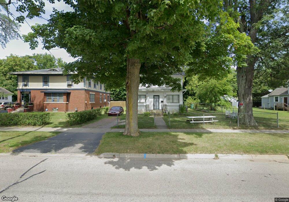
345 E Britain Ave Benton Harbor, MI 49022
Estimated Value: $98,000 - $151,000
4
Beds
1
Bath
1,528
Sq Ft
$77/Sq Ft
Est. Value
About This Home
This home is located at 345 E Britain Ave, Benton Harbor, MI 49022 and is currently estimated at $117,884, approximately $77 per square foot. 345 E Britain Ave is a home located in Berrien County with nearby schools including Fair Plain Middle School, Benton Harbor High School, and Benton Harbor Charter School Academy.
Ownership History
Date
Name
Owned For
Owner Type
Purchase Details
Closed on
Jun 17, 2024
Sold by
Reed Rhonda
Bought by
Berrien County Treasurer
Current Estimated Value
Purchase Details
Closed on
Jun 14, 2024
Sold by
Reed Rhonda
Bought by
Berrien County Treasurer
Purchase Details
Closed on
Jun 13, 2023
Sold by
Reed Rhonda
Bought by
Berrien County Treasurer
Purchase Details
Closed on
Nov 4, 2016
Sold by
Brown Rachelle
Bought by
Reed Rhonda
Purchase Details
Closed on
Mar 18, 1986
Purchase Details
Closed on
Oct 26, 1983
Create a Home Valuation Report for This Property
The Home Valuation Report is an in-depth analysis detailing your home's value as well as a comparison with similar homes in the area
Home Values in the Area
Average Home Value in this Area
Purchase History
| Date | Buyer | Sale Price | Title Company |
|---|---|---|---|
| Berrien County Treasurer | -- | -- | |
| Berrien County Treasurer | -- | -- | |
| Berrien County Treasurer | -- | -- | |
| Reed Rhonda | -- | Attorney | |
| -- | -- | -- | |
| -- | -- | -- |
Source: Public Records
Tax History
| Year | Tax Paid | Tax Assessment Tax Assessment Total Assessment is a certain percentage of the fair market value that is determined by local assessors to be the total taxable value of land and additions on the property. | Land | Improvement |
|---|---|---|---|---|
| 2025 | $644 | $43,500 | $0 | $0 |
| 2024 | $585 | $34,500 | $0 | $0 |
| 2023 | $429 | $23,200 | $0 | $0 |
| 2022 | $531 | $17,100 | $0 | $0 |
| 2021 | $543 | $16,800 | $1,200 | $15,600 |
| 2020 | $537 | $16,800 | $0 | $0 |
| 2019 | $742 | $14,100 | $0 | $0 |
| 2018 | $724 | $14,400 | $0 | $0 |
| 2017 | $710 | $15,300 | $0 | $0 |
| 2016 | $495 | $15,500 | $0 | $0 |
| 2015 | $494 | $14,900 | $0 | $0 |
| 2014 | $459 | $18,000 | $0 | $0 |
Source: Public Records
Map
Nearby Homes
- 520 Broadway
- 596 Superior St
- 378 Pipestone St
- 614 Pavone St
- 561 Heck Ct
- 410 Division St
- 730 Superior St
- 758 Pearl St
- 1045 Broadway
- 363 Brunson Ave
- 210 Market Place
- VL Eighth Ninth Boughton St
- 710 Buss Ave
- 696 Highland Ave
- 979 Lavette Ave
- 490 Territorial Rd
- 177 Hastings Ave
- 956 Union Ave
- 810 Thresher Ave
- 627 E Main St
- 337 E Britain Ave
- 361 E Britain Ave
- 371 E Britain Ave
- 325 E Britain Ave
- 344 Colby Ave
- 385 E Britain Ave
- 350 Colby Ave
- 338 Colby Ave
- 360 Colby Ave
- 379 E Britain Ave
- 352 E Britain Ave
- 317 E Britain Ave
- 366 Colby Ave
- 364 E Britain Ave
- 309 E Britain Ave
- 372 Colby Ave
- 509 Pearl St
- 383 E Britain Ave
- 330 E Britain Ave
- 316 Colby Ave
Your Personal Tour Guide
Ask me questions while you tour the home.