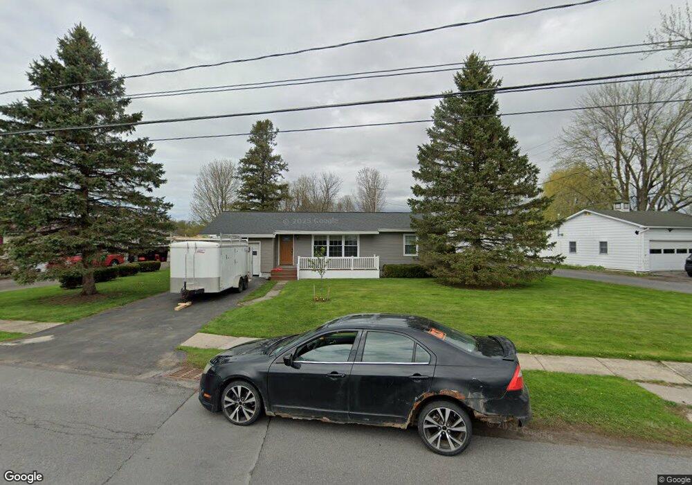
345 E Grove St Dexter, NY 13634
Estimated Value: $171,000 - $211,000
2
Beds
1
Bath
888
Sq Ft
$217/Sq Ft
Est. Value
About This Home
This home is located at 345 E Grove St, Dexter, NY 13634 and is currently estimated at $193,037, approximately $217 per square foot. 345 E Grove St is a home located in Jefferson County with nearby schools including General Brown Junior/Senior High School.
Ownership History
Date
Name
Owned For
Owner Type
Purchase Details
Closed on
Sep 11, 2012
Sold by
Lamon Stephanie
Bought by
Lane Jack
Current Estimated Value
Home Financials for this Owner
Home Financials are based on the most recent Mortgage that was taken out on this home.
Original Mortgage
$133,000
Outstanding Balance
$85,240
Interest Rate
3.57%
Mortgage Type
Purchase Money Mortgage
Estimated Equity
$107,797
Purchase Details
Closed on
Oct 2, 2008
Sold by
Tuttle Doris
Bought by
Lamon Stephanie
Create a Home Valuation Report for This Property
The Home Valuation Report is an in-depth analysis detailing your home's value as well as a comparison with similar homes in the area
Home Values in the Area
Average Home Value in this Area
Purchase History
| Date | Buyer | Sale Price | Title Company |
|---|---|---|---|
| Lane Jack | $140,000 | David Renzi | |
| Lamon Stephanie | $120,000 | Paul D Trimper |
Source: Public Records
Mortgage History
| Date | Status | Borrower | Loan Amount |
|---|---|---|---|
| Open | Lane Jack | $133,000 |
Source: Public Records
Tax History
| Year | Tax Paid | Tax Assessment Tax Assessment Total Assessment is a certain percentage of the fair market value that is determined by local assessors to be the total taxable value of land and additions on the property. | Land | Improvement |
|---|---|---|---|---|
| 2024 | $3,928 | $140,000 | $21,500 | $118,500 |
| 2023 | $3,996 | $140,000 | $21,500 | $118,500 |
| 2022 | $3,840 | $140,000 | $21,500 | $118,500 |
| 2021 | $3,781 | $140,000 | $21,500 | $118,500 |
| 2020 | $3,493 | $140,000 | $21,500 | $118,500 |
| 2019 | $3,418 | $140,000 | $21,500 | $118,500 |
| 2018 | $3,418 | $140,000 | $21,500 | $118,500 |
| 2017 | $3,387 | $140,000 | $21,500 | $118,500 |
| 2016 | $3,115 | $140,000 | $21,500 | $118,500 |
| 2015 | -- | $74,000 | $9,700 | $64,300 |
| 2014 | -- | $74,000 | $9,700 | $64,300 |
Source: Public Records
Map
Nearby Homes
- 214 E Bronson St
- 107 W Kirby St
- 23610 Fetterly Rd
- 203 Lakeview Dr
- 17045 State Route 12f
- 219-221 W Main St
- 328 Brown Blvd
- 23794 County Route 54
- 21349 Storrs Rd
- 18289 State Route 3
- 16215 Witt Rd
- 20304 Burton Rd
- 20207 Reasoner Rd
- 518 Main St
- 23960 White Rd
- 17836 County Route 59
- 0 State Route 3 Unit 13555497
- 0 Spruce Cresent
- 133 Vollum - Lot 5 Rd
- 27045 New York 12
Your Personal Tour Guide
Ask me questions while you tour the home.