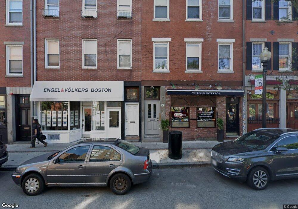
345 Hanover St Unit 347 Boston, MA 02113
North End NeighborhoodEstimated Value: $2,849,562
--
Bed
--
Bath
2,625
Sq Ft
$1,086/Sq Ft
Est. Value
About This Home
This home is located at 345 Hanover St Unit 347, Boston, MA 02113 and is currently estimated at $2,849,562, approximately $1,085 per square foot. 345 Hanover St Unit 347 is a home located in Suffolk County with nearby schools including Bridge Boston Charter School, Edward M. Kennedy Academy for Health Careers, and Torit Montessori School.
Ownership History
Date
Name
Owned For
Owner Type
Purchase Details
Closed on
Oct 17, 2018
Sold by
Rossi Pietro Est and Rossi
Bought by
345-347 Hanover Street Rt and Krystofolski
Current Estimated Value
Create a Home Valuation Report for This Property
The Home Valuation Report is an in-depth analysis detailing your home's value as well as a comparison with similar homes in the area
Home Values in the Area
Average Home Value in this Area
Purchase History
| Date | Buyer | Sale Price | Title Company |
|---|---|---|---|
| 345-347 Hanover Street Rt | -- | None Available | |
| 345-347 Hanover Street Rt | -- | None Available |
Source: Public Records
Tax History Compared to Growth
Tax History
| Year | Tax Paid | Tax Assessment Tax Assessment Total Assessment is a certain percentage of the fair market value that is determined by local assessors to be the total taxable value of land and additions on the property. | Land | Improvement |
|---|---|---|---|---|
| 2025 | -- | $938,800 | $329,000 | $609,800 |
| 2024 | -- | $977,900 | $329,000 | $648,900 |
| 2023 | $0 | $1,016,200 | $329,000 | $687,200 |
| 2022 | $0 | $1,037,100 | $329,000 | $708,100 |
| 2021 | $0 | $1,036,100 | $310,900 | $725,200 |
| 2020 | $0 | $1,012,800 | $310,900 | $701,900 |
| 2019 | $0 | $993,000 | $310,900 | $682,100 |
| 2018 | $0 | $954,000 | $299,200 | $654,800 |
| 2017 | $0 | $917,500 | $284,800 | $632,700 |
| 2016 | -- | $856,500 | $264,100 | $592,400 |
| 2015 | -- | $768,500 | $236,100 | $532,400 |
| 2014 | -- | $683,500 | $202,800 | $480,700 |
Source: Public Records
Map
Nearby Homes
- 120 Fulton St Unit DE
- 120 Fulton St Unit 5 C&D
- 122-130 Fulton Unit 13
- 130 Fulton St Unit 16
- 21 Moon St Unit 2
- 290 North St Unit 4
- 115 Salem St Unit 16
- 170 Commercial St Unit 4
- 14 N Bennet St Unit 1
- 14 N Bennet St Unit 2
- 142 Commercial St Unit 503
- 133 Salem St
- 220 Commercial St Unit 5A
- 61 Prince St Unit 1C
- 110-112 Commercial St Unit 2
- 110-112 Commercial St Unit 5
- 11 Wiget St Unit 11-4
- 63 Atlantic Ave Unit 9B
- 63 Atlantic Ave Unit 7E
- 6 Baldwin Place
- 345 Hanover St Unit 4
- 345 Hanover St Unit 3
- 345-347 Hanover St
- 343 Hanover St Unit 6
- 5 Garden Ct Unit 3
- 5 Garden Ct Unit 2
- 5 Garden Ct Unit 1
- 355 Hanover St Unit 4
- 353 Hanover St Unit 2
- 5 Garden Court St Unit 4
- 5 Garden Court St Unit 1
- 5 Garden Court St Unit 3
- 5 Garden Court St
- 3 Garden Ct St Unit 4
- 3 Garden Ct St Unit 4
- 3 Garden Court St Unit 4
- 3 Garden Court St Unit 2
- 3 Garden Ct
- 3 Garden Ct Unit 2
- 3 Garden Ct Unit 3