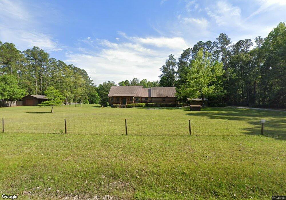
345 Landing Cir Kingsland, GA 31548
Estimated Value: $348,000 - $456,000
3
Beds
3
Baths
2,358
Sq Ft
$168/Sq Ft
Est. Value
About This Home
This home is located at 345 Landing Cir, Kingsland, GA 31548 and is currently estimated at $395,522, approximately $167 per square foot. 345 Landing Cir is a home located in Camden County with nearby schools including Kingsland Elementary School, Camden Middle School, and Camden County High School.
Ownership History
Date
Name
Owned For
Owner Type
Purchase Details
Closed on
Aug 25, 2025
Sold by
Owens Donna L
Bought by
Donna L Patat Revocable Living Trust and Patat Donna L Tr
Current Estimated Value
Purchase Details
Closed on
Jul 24, 2018
Sold by
Wagers Jimmy W
Bought by
Owens Donna L
Purchase Details
Closed on
Nov 5, 2010
Sold by
Peck Ronald
Bought by
Wagers Jimmy W
Home Financials for this Owner
Home Financials are based on the most recent Mortgage that was taken out on this home.
Original Mortgage
$75,000
Interest Rate
4.33%
Mortgage Type
New Conventional
Create a Home Valuation Report for This Property
The Home Valuation Report is an in-depth analysis detailing your home's value as well as a comparison with similar homes in the area
Home Values in the Area
Average Home Value in this Area
Purchase History
| Date | Buyer | Sale Price | Title Company |
|---|---|---|---|
| Donna L Patat Revocable Living Trust | -- | -- | |
| Owens Donna L | $210,000 | -- | |
| Wagers Jimmy W | $200,000 | -- |
Source: Public Records
Mortgage History
| Date | Status | Borrower | Loan Amount |
|---|---|---|---|
| Previous Owner | Wagers Jimmy W | $75,000 |
Source: Public Records
Tax History Compared to Growth
Tax History
| Year | Tax Paid | Tax Assessment Tax Assessment Total Assessment is a certain percentage of the fair market value that is determined by local assessors to be the total taxable value of land and additions on the property. | Land | Improvement |
|---|---|---|---|---|
| 2025 | $1,748 | $111,549 | $30,408 | $81,141 |
| 2024 | $1,827 | $115,316 | $34,175 | $81,141 |
| 2023 | $1,267 | $91,347 | $10,206 | $81,141 |
| 2022 | $1,856 | $80,730 | $10,206 | $70,524 |
| 2021 | $1,962 | $67,568 | $10,206 | $57,362 |
| 2020 | $2,018 | $66,459 | $10,206 | $56,253 |
| 2019 | $2,034 | $66,459 | $10,206 | $56,253 |
| 2018 | $1,948 | $64,805 | $10,206 | $54,599 |
| 2017 | $1,845 | $60,026 | $10,206 | $49,820 |
| 2016 | $1,760 | $57,511 | $10,206 | $47,305 |
| 2015 | $1,706 | $57,511 | $10,206 | $47,305 |
| 2014 | $1,698 | $57,511 | $10,206 | $47,305 |
Source: Public Records
Map
Nearby Homes
- 69 Creek Ln
- 284 Landing Dr
- 143 Breakwater Loop
- 635 Breakwater Loop
- 122 Breakwater Loop
- 0 Breakwater Loop Unit 25764630
- 0 Breakwater Loop Unit 25823211
- 886 River Landing Dr
- 856 River Landing Dr
- 130 Breakwater Loop
- 144 Breakwater Loop
- 207 Starboard Ct
- 208 Starboard Ct
- 111 Starboard Ct
- 101 Starboard Ct
- 105 Park View Ln
- 101 Park View Ln
- 213 Park View Ln Unit LOT 587
- 213 Park View Ln
- 220 Park View Ln Unit LOT 527
- 289 Landing Cir
- 38 Creek Ln
- 72 Creek Ln
- 135 Landing Dr
- 190 Landing Dr
- 128 Landing Cir
- 1341 River Landing Rd
- 177 Landing Dr
- 102 Landing Dr
- 102 Landing Dr
- 92 Landing Blvd
- 107 Landing Dr
- 107 Landing Dr
- 102 Lndg
- 157 Landing Dr
- 130 Creek Ln
- 209 Landing Dr
- 1283 River Landing Rd
- 90 Landing Blvd
- 88 Landing Blvd