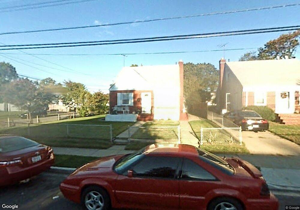
345 Locust Ave Uniondale, NY 11553
Estimated Value: $573,608 - $648,000
--
Bed
1
Bath
1,120
Sq Ft
$545/Sq Ft
Est. Value
About This Home
This home is located at 345 Locust Ave, Uniondale, NY 11553 and is currently estimated at $610,804, approximately $545 per square foot. 345 Locust Ave is a home located in Nassau County with nearby schools including Walnut Street Elementary School, Turtle Hook Middle School, and Uniondale High School.
Ownership History
Date
Name
Owned For
Owner Type
Purchase Details
Closed on
Jan 25, 2007
Sold by
Almonor Patrick
Current Estimated Value
Purchase Details
Closed on
Aug 23, 2003
Sold by
Almonor Patrick
Purchase Details
Closed on
Jun 4, 1999
Sold by
Livingstone Sylvester and Livingstone Audrey
Bought by
Almonor Patrick Harrison Franc
Purchase Details
Closed on
Oct 2, 1998
Sold by
Beelitz John
Bought by
Livingston Sylvester and Livingston Audrey
Create a Home Valuation Report for This Property
The Home Valuation Report is an in-depth analysis detailing your home's value as well as a comparison with similar homes in the area
Home Values in the Area
Average Home Value in this Area
Purchase History
| Date | Buyer | Sale Price | Title Company |
|---|---|---|---|
| -- | -- | -- | |
| -- | -- | -- | |
| Almonor Patrick Harrison Franc | $177,000 | -- | |
| Livingston Sylvester | $80,000 | -- |
Source: Public Records
Tax History Compared to Growth
Tax History
| Year | Tax Paid | Tax Assessment Tax Assessment Total Assessment is a certain percentage of the fair market value that is determined by local assessors to be the total taxable value of land and additions on the property. | Land | Improvement |
|---|---|---|---|---|
| 2025 | $8,197 | $385 | $146 | $239 |
| 2024 | $3,306 | $385 | $146 | $239 |
| 2023 | $7,017 | $385 | $146 | $239 |
| 2022 | $7,017 | $385 | $146 | $239 |
| 2021 | $9,110 | $367 | $139 | $228 |
| 2020 | $7,039 | $555 | $480 | $75 |
| 2019 | $7,039 | $555 | $480 | $75 |
| 2018 | $6,425 | $555 | $0 | $0 |
| 2017 | $3,433 | $555 | $480 | $75 |
| 2016 | $6,132 | $555 | $480 | $75 |
| 2015 | $2,528 | $555 | $480 | $75 |
| 2014 | $2,528 | $555 | $480 | $75 |
| 2013 | $2,442 | $555 | $480 | $75 |
Source: Public Records
Map
Nearby Homes